3D mapping and advanced visualisations provide new and engaging ways of sharing spatial information to all kinds of audiences.
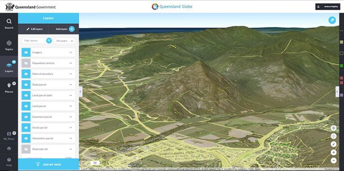
Queensland Globe has generated a lot of excitement for its innovative 2D/3D viewer developed by the Queensland Department of Natural Resources and Mines and a team from Esri Australia.
Queensland Globe was built upon the latest ArcGIS JavaScript API from Esri which delivers a great 3D experience within a browser.
Here are some suggestions for why you too should incorporate 3D into your Geographic Information System.

3D is a more persuasive medium
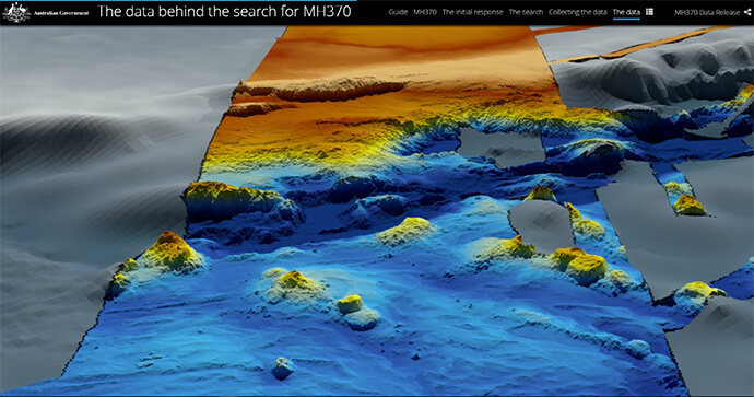
3D allows users to explore the world and understand GIS data in new and innovative ways. The growth of 3D cartography, advanced visualisations and animation provide new ways of communicating spatial information.
Realistic views of urban areas can be used to understand the built environment and future development.
3D is available across the ArcGIS platform, empowering the growing interest in delivering 3D content to the public via a browser.
All maps should be created with a purpose – 3D can help tell your stories in new and exciting ways.
What is the story you want your map to tell?
Do you know your audience? Are they regular GIS users, will they be familiar with 3D views?
Consider the device that they may be viewing your map on as many mobile devices will not yet support 3D in the browser.
Is your data 3D? If not, you can still view it in 3D. ArcGIS comes with free 3D elevation services, allowing you to drape your 2D data or imagery over a 3D surface.
3D is available in a range of delivery options
There are a range of options for delivering 3D GIS in the browser, from out-of-the-box viewers to a full-blown custom 3D application.
Choosing the right option depends on the story you want to tell, your audience and your appetite for custom development.
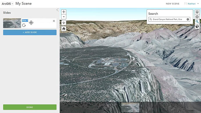
ArcGIS Online includes an out-of-the-box 3D viewer that provides basic 3D functionality. This is the simplest way of delivering 3D. Simply create your content and share the map.

Esri Story Maps provide a great way to combine maps with other content to tell a story. There are many templates available for story maps that can be extended to support 3D.
If you are hosting your own story maps, with a little development you can fully leverage the richness of 3D scenes with animation and custom navigation.

Web AppBuilder allows you to create a fully functional 2D or 3D GIS web viewer, built around your data. Use out-of-the-box widgets or extend with custom development using the ArcGIS JavaScript API.
Create your own 3D GIS web application for a fully optimised custom experience. The API is fully supported, well documented and includes many great samples.
If you have HTML/JavaScript development skills, you will be able to get up to speed quickly. The API can even be extended to allow advanced visualisations.
See a presentation on Queensland Globe by Greg Payne from DNRM and track down the Esri Australia team that helped build it.

