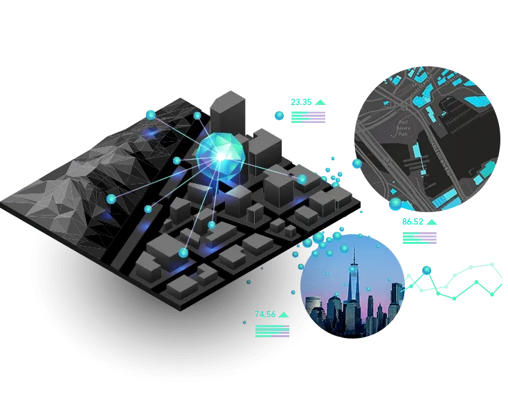
Connect the seemingly disconnected with the most comprehensive set of analytical methods and spatial algorithms available. Use location as the connective thread to uncover hidden patterns, improve predictive modelling, and create a competitive edge. Leverage the power of spatial analysis and data science on demand and at scale with ArcGIS.
Learn how spatial thinking helps make sense of data or reach out for help with achieving your business goals.
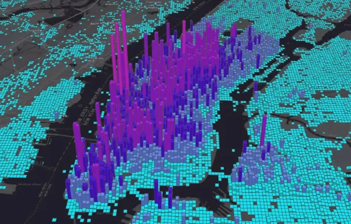
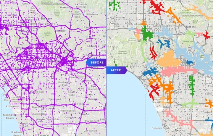
Pattern detection
Dive deeper than traditional pattern mining using pattern analysis tools such as heat maps. Use analysis tools that quantify the spatial patterns you see in an accurate, repeatable way. Apply data mining, machine learning, and statistics to find natural spatial and multivariate data clusters.
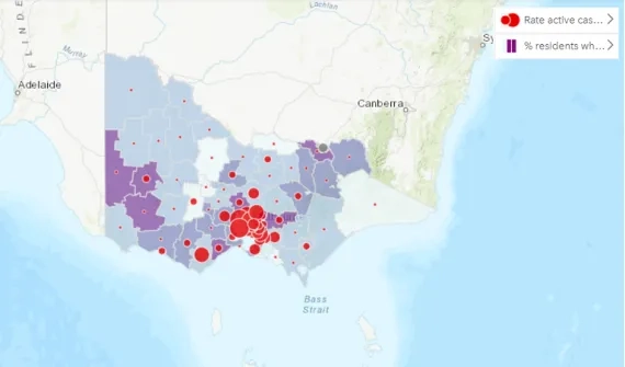
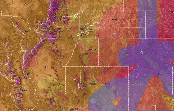
Space-time analytics
Understand the immediate and long-term impact of your decisions. Integrate the temporal aspect of your data alongside the spatial. Find out when and where things are happening. See how the social, economic, and environmental aspects of the landscape are changing over time and the influence it has on decisions made now and in the future. Use historic trends and additional information to uncover trends and patterns and make spatiotemporal forecasts.
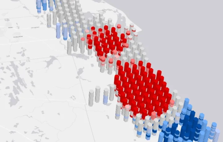
Predictive analytics
Make accurate predictions using powerful statistical and machine learning methods, as well as specialised spatial modelling approaches. Model interaction, flow, and movement in space and time. Create prediction surfaces using sophisticated geostatistical techniques. Examine and quantify data relationships and forecast spatial outcomes.
Suitability modelling and location optimisation
Make the right decisions. Use spatial tools and algorithms to find the best location, allocate resources effectively, meet demand, and minimise cost. Combine domain expertise and organisational practices to model suitability and optimise location decisions.
Route planning and logistics
Graduate from simple point-to-point routing. Find the path of least resistance, understand the cost of getting from one location to another, and plan routes for an entire fleet. Use ready-to-use networks or build your own using custom data. Calculate travel times, locate facilities, and solve other complex network-related problems.

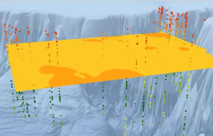
Terrain analysis
Understand the earth’s topographic features. Model and visualise the earth’s surface as digital 2D and 3D models to calculate slope and curvature, delineate watersheds, and compute visibility. Use results to perform analysis and support decision making for a variety of applications.
Scale up your analysis
Improve efficiency and reduce work time. Harness distributed computing to scale up your analysis and process massive data collections. Identify data patterns that were previously hidden in noise. Analyse suitability, detect change, and model the earth’s surface at scale. Use spatial machine learning to find relationships and predict future events.