GIS technology provides emergency management authorities with powerful mapping and analysis capabilities at every stage of the disaster cycle.

PREPAREDNESS
View resources
RESPONSE
View resources
RECOVERY
View resources
MITIGATION
View resourcesPreparedness
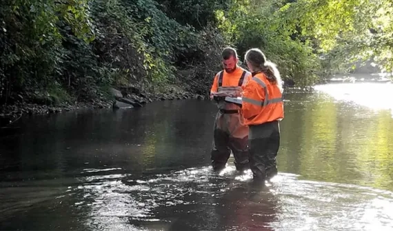
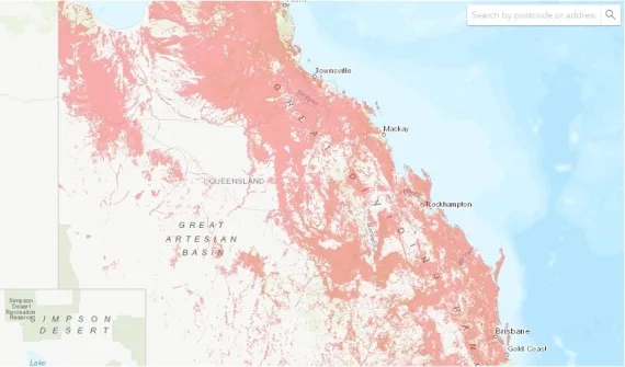
Collect and visualise data, analyse historical trends and make informed predictions about future areas of risk. Build community resilience with education on protecting infrastructure and the environment.


To find out more about leveraging GIS technology in emergency response send an enquiry to speak with one of our specialists.
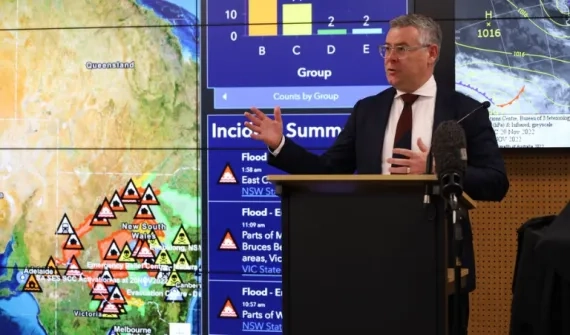
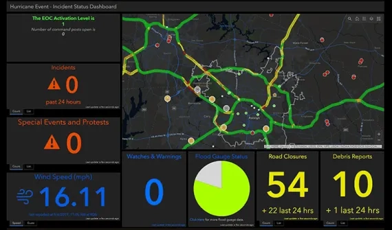
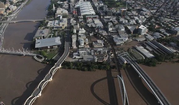
Response
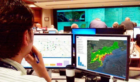
Create dashboards for real-time situational awareness and better collaboration across agencies. Coordinate response efforts and deploy timely assets and resources where they’re needed most.
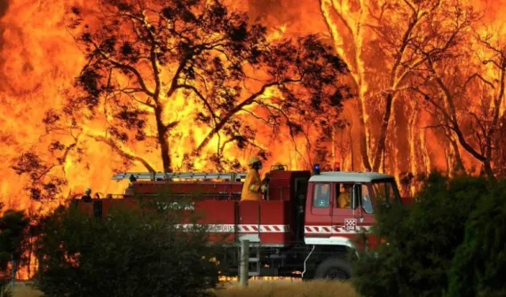
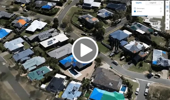
Recovery
Develop safer, more resilient communities with a tech-led approach to addressing threats, hazards and vulnerabilities. Conduct risk assessments, plan and manage mitigation projects and improve adaptation strategies.
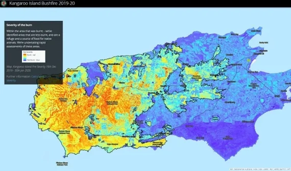
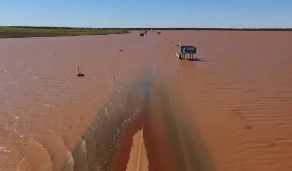
Mitigation
Develop safer, more resilient communities with a tech-led approach to addressing threats, hazards and vulnerabilities. Plan and manage mitigation projects with enhanced field operations workflows.