You are here Industries Community Environmental management GIS in environmental management Connect with a specialist Protecting the environment with location based decision-making News Explore our rapidly changing planet Fast Company examines the global Esri land cover maps showing environmental changes across the globe in the last five years. See striking comparisons of bushland burned across Australia and California, the exponential growth of urban sprawl and disappearing areas of the Amazon rainforest. More Resource What will the world look like in 2050? Start planning for the future today with Esri's 2050 land cover classification map. Leverage informed predictions on areas vulnerable to development and make smarter decisions for sustainability. More Managing Mother Nature in real time Collaboration is key to managing severe weather challenges by creating actionable insights and real-time situational awareness for better decision making. More Call 1800 870 750 or email a specialist to find out more about GIS environmental management. Story map Uncovering an ocean of data From oxygen levels to salinity and temperatures, take a different look at the world's oceans and discover more about what's under the surface. More Resource Explore Esri's 2020 land cover map Access high-resolution, open, accurate and timely land cover classification maps of the entire world - developed using AI. More
News Explore our rapidly changing planet Fast Company examines the global Esri land cover maps showing environmental changes across the globe in the last five years. See striking comparisons of bushland burned across Australia and California, the exponential growth of urban sprawl and disappearing areas of the Amazon rainforest. More
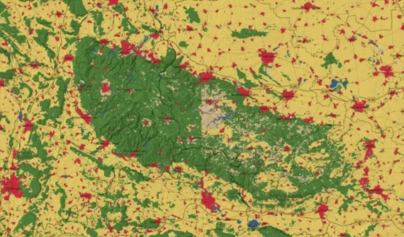
Resource What will the world look like in 2050? Start planning for the future today with Esri's 2050 land cover classification map. Leverage informed predictions on areas vulnerable to development and make smarter decisions for sustainability. More
Managing Mother Nature in real time Collaboration is key to managing severe weather challenges by creating actionable insights and real-time situational awareness for better decision making. More
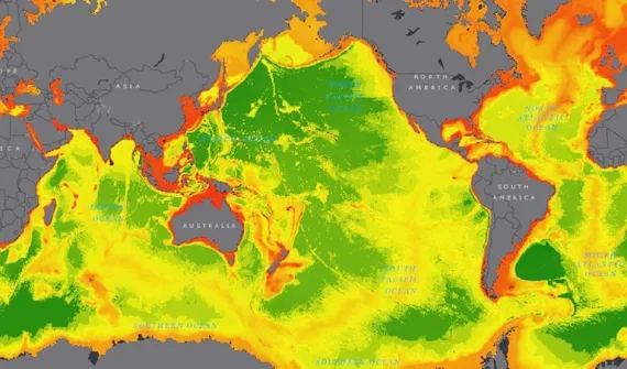
Story map Uncovering an ocean of data From oxygen levels to salinity and temperatures, take a different look at the world's oceans and discover more about what's under the surface. More
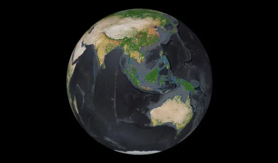
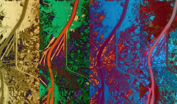
Resource Explore Esri's 2020 land cover map Access high-resolution, open, accurate and timely land cover classification maps of the entire world - developed using AI. More