You are here News & Events Blogs Esri Australia blog Esri Australia blog AllEsri techData-driven decisionsDigital transformationDisruptive innovationGIS in Education GIS in Education Building the next generation of sustainability problem solvers with GIS Ormiston College took out the 2025 SDG GIS Challenge award with their project, When Strangers Take Root: Invasive Species on Coochiemudlo Island. The project exemplified what students can achieve when STEM learning is grounded in real issues and supported by the right geospatial tools. Learn more GIS in Education A journey from scholar to GIS consultant Follow the career path of 2024 Esri Young Scholar Award winner, Glenn Kong, from the University of Queensland to Esri Australia. Learn more GIS in Education Maintaining the balance of Heron Island’s diverse ecosystem Heron Island’s transparent waters and breathtaking reefs are home to several marine creatures — from the lemon, black tip and epaulette sharks to the eagle rays and guitar sharks — but most importantly, it’s a significant turtle nesting area. Learn more GIS in Education The way forward: Single sign-on for academia SSO makes it easier to track ArcGIS Online usage across campus to be able to connect information between ArcGIS Online and authoritative campus systems. Learn more GIS in Education 2023 Esri Young Scholar: From winner to intern Follow the story of the 2023 Esri Young Scholar Award winner, Zih-Hong Lin — from measuring green space equality to gaining firsthand experience in solving real-world challenges. Learn more GIS in Education GIS in Environmental Education Implementing GIS in Environmental Science education allows the next generation of students to prepare for future environmental challenges. Using GIS, students can advance their conservation efforts, maintain ecosystems, and sustain biodiversity. See how GIS in Environmental Science can be implemented in your classroom. Learn more
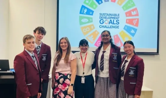
GIS in Education Building the next generation of sustainability problem solvers with GIS Ormiston College took out the 2025 SDG GIS Challenge award with their project, When Strangers Take Root: Invasive Species on Coochiemudlo Island. The project exemplified what students can achieve when STEM learning is grounded in real issues and supported by the right geospatial tools. Learn more
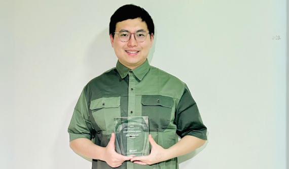
GIS in Education A journey from scholar to GIS consultant Follow the career path of 2024 Esri Young Scholar Award winner, Glenn Kong, from the University of Queensland to Esri Australia. Learn more
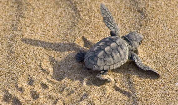
GIS in Education Maintaining the balance of Heron Island’s diverse ecosystem Heron Island’s transparent waters and breathtaking reefs are home to several marine creatures — from the lemon, black tip and epaulette sharks to the eagle rays and guitar sharks — but most importantly, it’s a significant turtle nesting area. Learn more
GIS in Education The way forward: Single sign-on for academia SSO makes it easier to track ArcGIS Online usage across campus to be able to connect information between ArcGIS Online and authoritative campus systems. Learn more
GIS in Education 2023 Esri Young Scholar: From winner to intern Follow the story of the 2023 Esri Young Scholar Award winner, Zih-Hong Lin — from measuring green space equality to gaining firsthand experience in solving real-world challenges. Learn more
GIS in Education GIS in Environmental Education Implementing GIS in Environmental Science education allows the next generation of students to prepare for future environmental challenges. Using GIS, students can advance their conservation efforts, maintain ecosystems, and sustain biodiversity. See how GIS in Environmental Science can be implemented in your classroom. Learn more