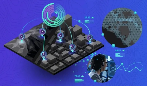
By visualising and analysing data, geospatial technology makes information actionable, and empowers police, investigators and law enforcement agencies to make informed decisions and keep communities safe with real-time location insights.

For more information on solutions for law enforcement, get in touch with an industry specialist.

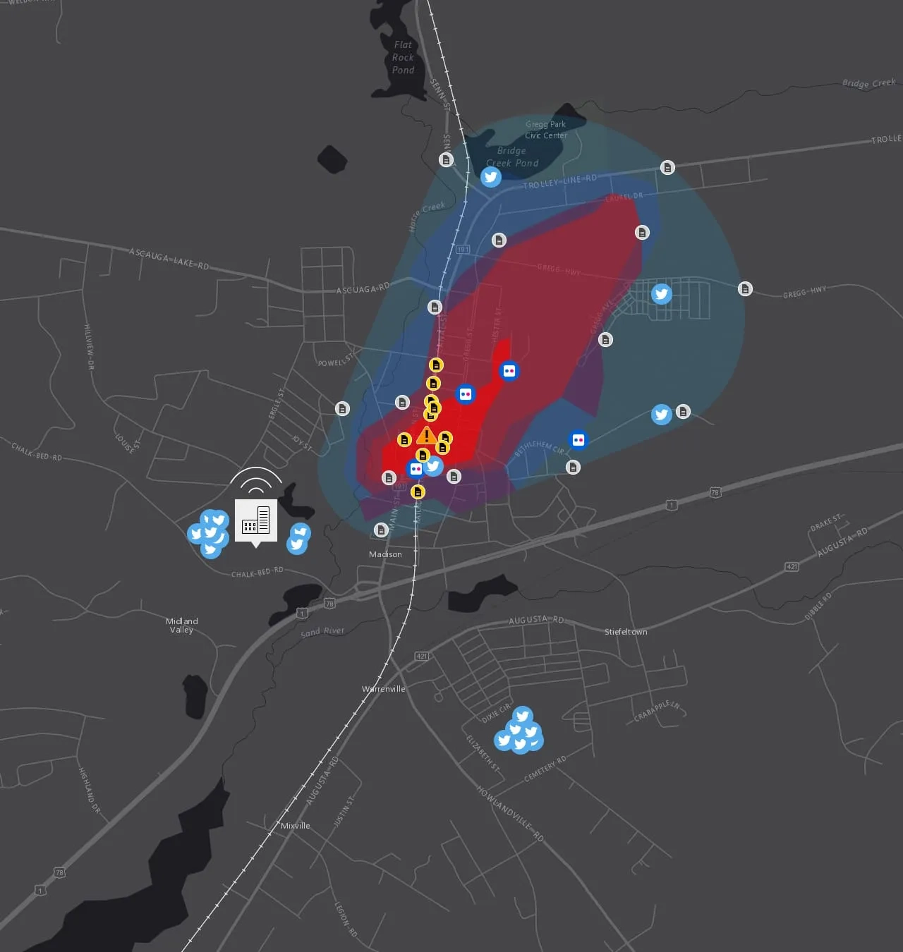
Explore a real-life scenario

Click on the numbers below to track the response

1. A train derailment causes a massive explosion

Following a massive explosion, emergency services agencies establish an incident command centre to provide situational awareness, manage the disaster and help route the first responders to the scene.

Policing train derailment - slide 1

2. A toxic spill endangers people and property

Hazmat teams identify the toxin as chlorine. The command centre uses real-time weather sensors and plume modelling to identify the area impacted by the spill and immediately commences an outreach program to inform residents.

Policing train derailment - slide 2

3. Responders identify critical infrastructure and put roadblocks in place

The map provides a breakdown of the types of critical infrastructure and population impacted within the area of the spill. Law enforcement agencies set up roadblocks around the area to keep people out.

Policing train derailment - slide 3

4. Victims get help while incident details emerge

First responders identify evacuation shelters and set up a triage location to treat victims while law enforcement officials begin their investigation into the crash and interview witnesses. The public information officer briefs the media and residents.

Policing train derailment - slide 4

5. Agencies manage the response through information sharing across the community

Back at the incident command centre, emergency personnel continue to analyse incoming information from response teams. Damage assessment reports come in from first responders, and social media feeds are brought into the map to monitor public information.

Policing train derailment - slide 5

Best practice public safety requires real time insight and shared information. Discover the latest tech

Subscribe to
Esri Australia news