Esri's location intelligence system is a complete GIS for electricity utilities. Helping you work better and smarter. Empowering transformation through innovation. Advancing your grid modernisation, safety, asset management and customer experience efforts.
As accredited Esri Utility Network Management Specialists, our team are globally recognised for our industry-leading knowledge and expertise in the utilities sector.
![]()

Contact a specialist to find out more about GIS in electricity utilities.
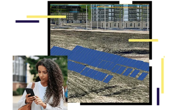
Mapping and analytics for electricity utilities
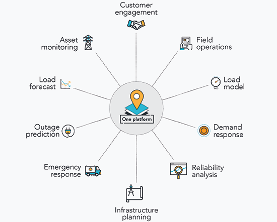
The Esri Geographic Information System platform, ArcGIS, provides electricity utilities with a single-point-of-truth for all geospatial information.
Users can access and share spatial data – generating information and insights to transform workflows and maximise efficiencies.
ArcGIS enables organisation-wide communication, collaboration and coordination through instant mapping, reporting and analytics capabilities accessible by all teams, functions and disciplines, from the field to the office.
Relevant, ready-to-use map data layers such as asset plans, network status, demand areas, real-time weather, disaster information and more – are all accessible on a central platform at any time, on any device.
Connect with our team to discuss the role of GIS in electric utilities.
Join the APAC Utilities Community of Practice
Join the APAC Community of Practice to stay up to date with the latest GIS trends in electricity, water and telecommunication.
Meet your peers, hear about industry trends and learn more about the latest technology supporting the utilities sector.