Implement a modern GIS
Web GIS is a pattern or approach for implementing a modern GIS powered by web services — standard services that deliver data and capabilities and connect components.
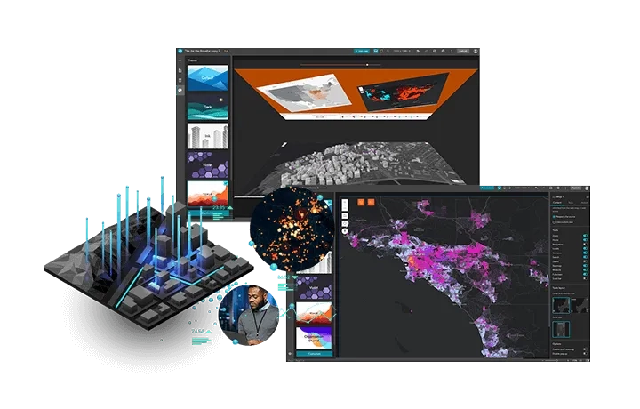
This resource centre helps you do more with ArcGIS Online, including integrating, analysing, visualising, and sharing data for a better understanding.
Before you get started, activate your account then jump right in with the resources below.
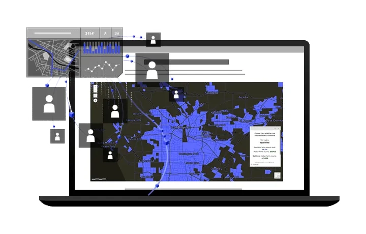
Create interactive maps
Leverage smart mapping tools and authoritative data to build interactive maps and create immersive experiences that offer an opportunity for exploration.
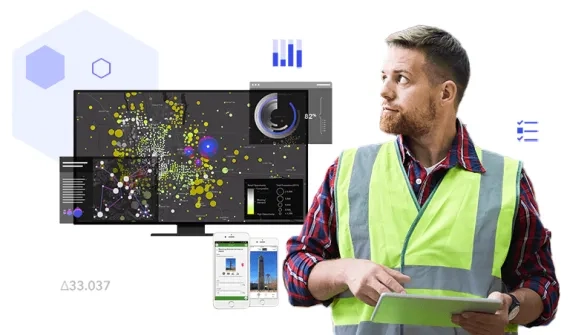
Analyse your data
Understand data in the context of location to reveal and analyse hidden patterns, make predictions, and inform decisions about next steps.
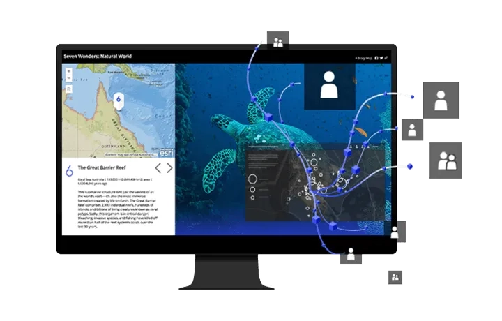
Share your maps
Manage access to your maps and choose who to share them with. Drive awareness with public maps and keep confidential maps private in ArcGIS Online.
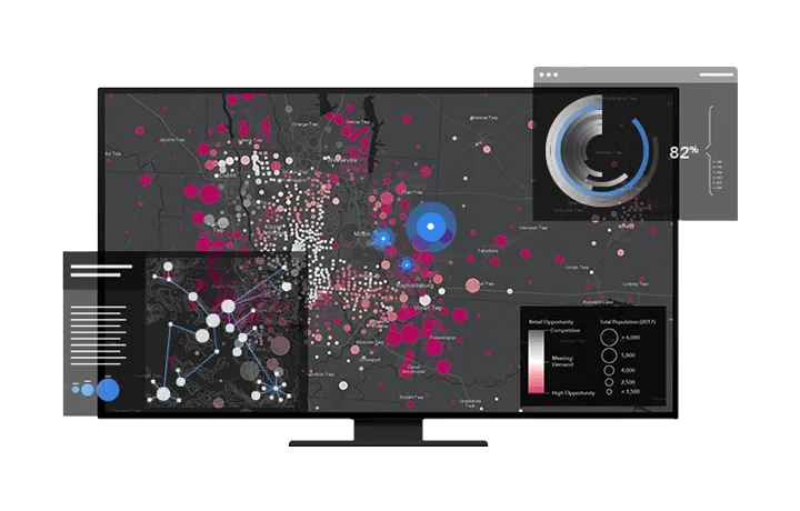
Manage your data
Collect, manage and process data from multiple sources - including spreadsheets, geospatial files, images and services. Add location data in ArcGIS Online and visualise it on a map.