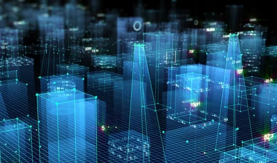
A framework to create and integrate digital twins
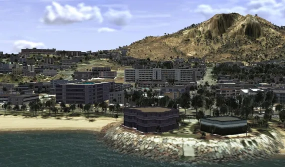
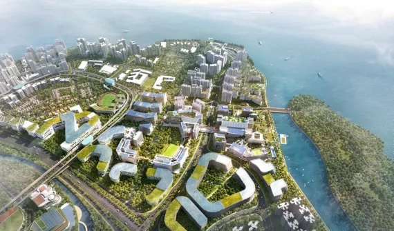
Our world is transforming and rapidly becoming digital. Digital twins are abstracting and modelling everything. They improve business processes, reduce risk, optimise operational efficiencies, and enhance decision-making with automation to predict outcomes.
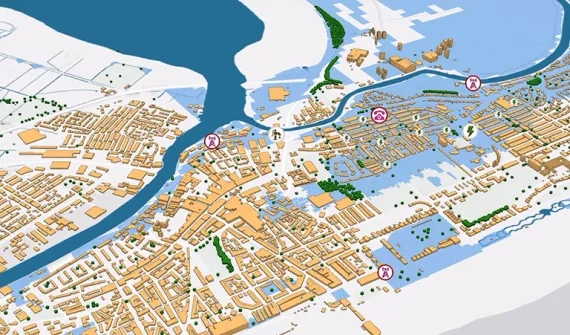
Digital twins provide greater context to solve business challenges by creating relationships and streamlining workflows. Geographic information system (GIS) technology is foundational for any digital twin. Esri's geospatial technology interconnects information, systems, models, and behaviours with spatial context, creating holistic digital representations of environments, assets, networks, and cities.
To find out how digital twins are optimising designs, reducing costs and creating more resilient infrastructure, call 1800 870 750 or send us an enquiry.
What is a digital twin?
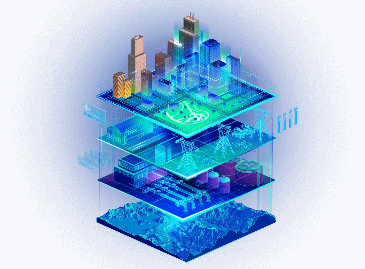
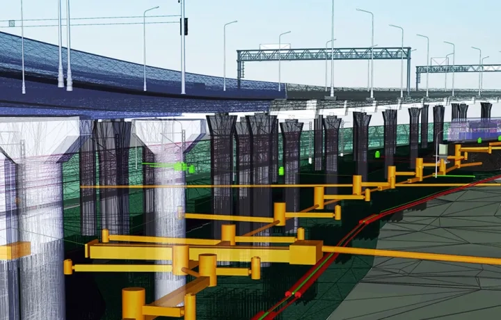
The technical definition can be found in the ISO/IEC 30173:2023, 3.1.1, which defines a digital twin as a "Digital representation of a target entity with data connections that enable convergence between the physical and digital states at an appropriate rate of synchronisation". In simpler terms, a digital twin is a virtual representation of the real world, including physical objects, processes, relationships, and behaviours. GIS creates digital twins of the natural and built environments and uniquely integrates many types of digital models.
Geospatial technology connects different types of data and systems to create a single view that can be accessed throughout the complete project life cycle. GIS enhances data capture and integration, enables better real-time visualisation, provides advanced analysis and automation of future predictions, and allows for information sharing and collaboration.
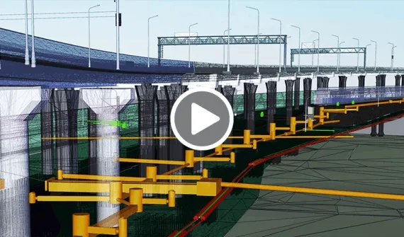
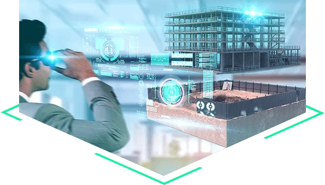
Data capture and integration
Digital twins are modernising how organisations capture and visualise data, integrate networks, and analyse information.
- Data modelling
- System integration and management
- Reality capture
- Feature creation and extraction
- Workflow and business systems
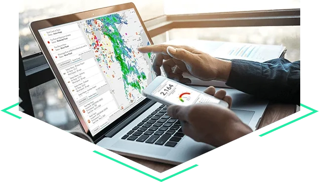
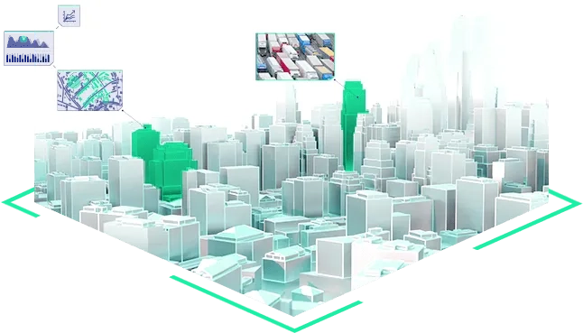
Real time and visualisation
Make the right decisions, discover new patterns, and unlock data's potential with real-time information and an authoritative network.
- Dashboards and reporting
- Real-time Internet of Things (IoT) integration
- Insights and analytics
- Advanced visualisation
Share and collaborate
GIS technology supports smart organisations and communities by improving information sharing, eliminating data silos, and increasing internal and external engagement.
- Dynamic visual communication
- Engagement and collaboration
- Data access from anywhere
- Information transparency
- Project delivery

Analyse and predict
Analyse and make accurate predictions using powerful statistical, machine learning, deep learning, and artificial intelligence methods.
- Automation
- Notebooks and modelling
- Simulation and scenario modelling
- Forecasting