


Strategies for a connected future
Thriving integrated geospatial infrastructures (IGI) require a holistic approach and a well-thought-out strategy for connecting organisations across borders, jurisdictions, and sectors.
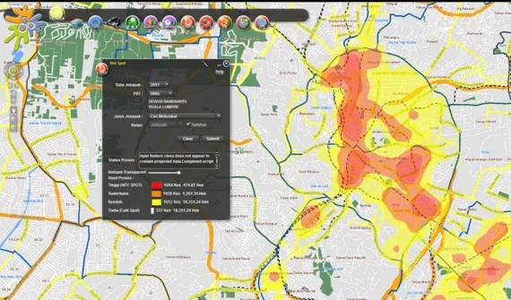
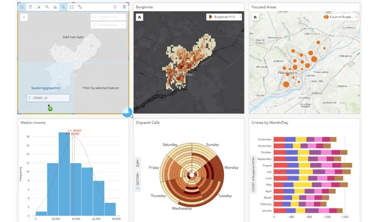
Inherently multiorganisational, data collaboratives are efficiently addressing today's challenges.
Emerging trends in geospatial infrastructure


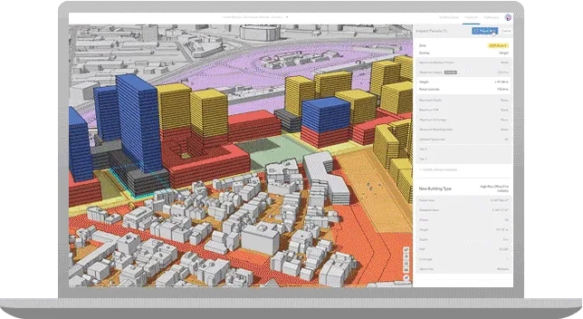
More than just a visualisation, a digital twin can accelerate innovation, build consensus and save time and money.
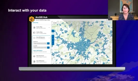
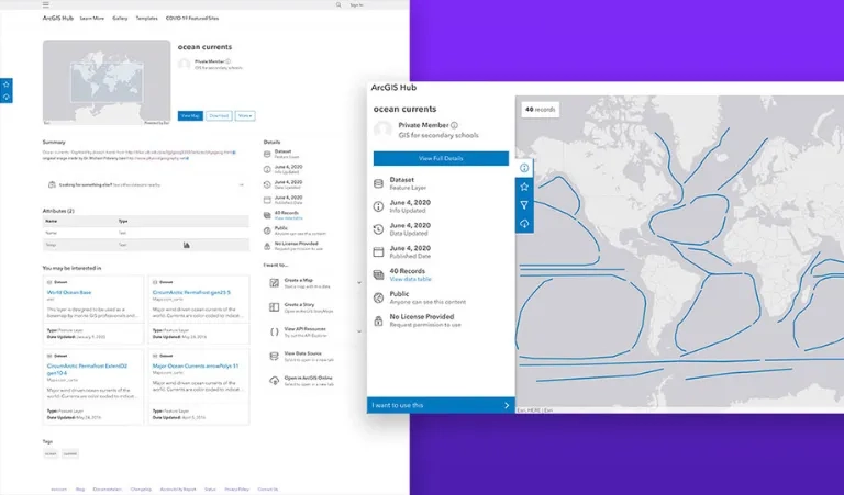
ArcGIS is an open, interoperable system that drives efficiency and innovation. Discover the open standards, open data and data interoperability boosting collaboration and empowering decision-making.
The most competitive organisations and industries use data-driven insights to spur growth and support decision-making. Discover how location data is transforming core business practices.
Artificial intelligence and machine learning use location data to automate processes, improve predictive modelling, make accurate business forecasts, and gain insights from large amounts of data.
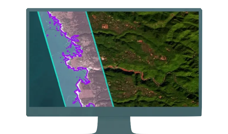
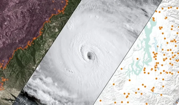
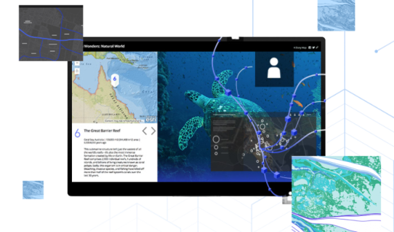
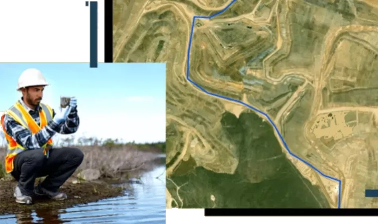
Drone-, aircraft-, and satellite-deployed sensors provide views of our planet from every possible vantage point, turning imagery into powerful insights.
Build more sustainable and resilient communities using location intelligence to future-proof your city. Break down data silos and implement collaborative, timely information-sharing workflows for data-driven decision-making.