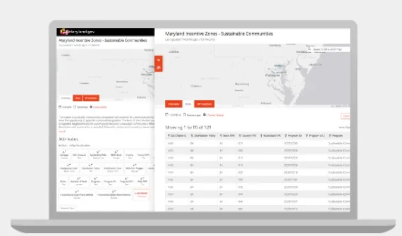
ArcGIS enables interoperability of all GIS data types, formats, and specifications of data. Users can bring vector and raster data into and out of the system in their format of choice. Many organisations also use ArcGIS to share and work with open data so they can communicate effectively, meet mandated transparency requirements, and enable greater insights. Esri includes open data capabilities at no cost in ArcGIS Online and ArcGIS Hub.
Supporting your data formats
Data interoperability ensures that you can access and store GIS data types in the formats you already use. ArcGIS works directly with the most common data sources, widely implements open standard formats, and provides the ArcGIS Data Interoperability extension for unique transformation needs.
Geospatial features
ArcGIS supports all the common vector data types and formats to serve up points, lines, and polygons, including geodatabases, spatial databases, shapefiles, GeoPackage, GeoJSON, KML, JSON, XML, SDTS, and OGC Web Services.

Tabular
ArcGIS can expose the spatial data hidden in your tabular data including databases, dBase, CSV/Text/ASCII, Microsoft Excel, Microsoft Access, or anything connected via OLE DB API.
Imagery, EO, and 3D
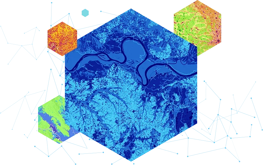
ArcGIS apps and servers directly support more than 200 raster and 3D data formats, types, and sensors, including commercial and public satellites, aerial photography, UAS/UAV, Lidar (LAS, LAZ), JPEG , TIFF/GeoTIFF/COG, GRIB, HDF, netCDF, and CAD/Revit.

Web and real time
ArcGIS Enterprise and ArcGIS Online support the ingest of many real-time data feeds, sensors, and streams including RSS, WebSocket, Website (Poll), Kafka Event Messenger, Azure Event Hub, NMEA, GTFS, Waze, Sierra Wireless RAP, Trimble TAIP, Twitter, and Common Alerting Protocol (CAP).
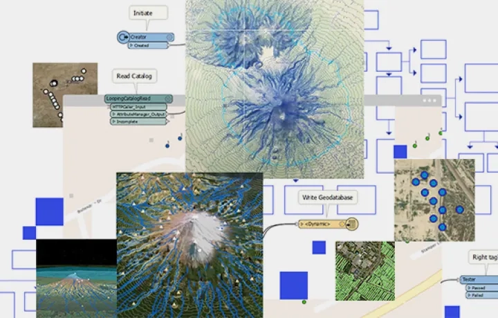
Data Interoperability extension
For all other data or storage types, the ArcGIS Data Interoperability extension connects hundreds of different files, databases, cloud and web services, feeds, and more to ArcGIS without any coding. Freely leverage vector, raster, text, tabular, markup, notation, binary data, and more.
Share open data
Esri provides government customers and data owners several easy ways to share and edit authoritative public data.


Leverage public and open data
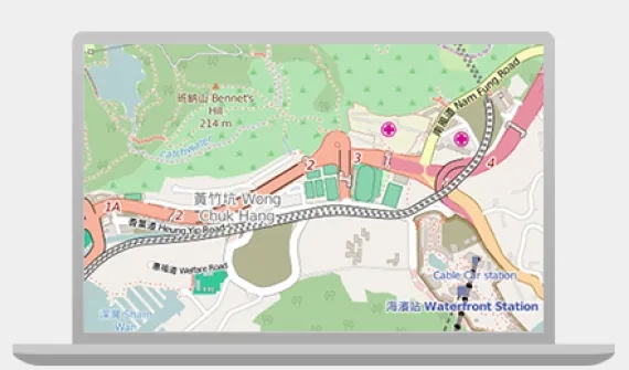
ArcGIS provides easy access to authoritative public data provided by customers, partners, and the OpenStreetMap community.