Harness the full potential of IoT
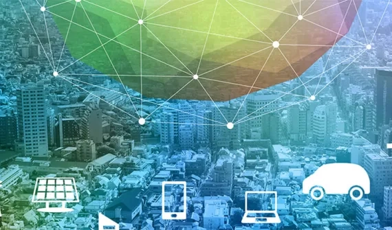
Leading business and government executives are turning to the ArcGIS platform to uncover the hidden value in IoT data. By ingesting, processing, analysing and visualising Big Data sourced from millions of connected sensors, the ArcGIS platform reveals important trends, challenges and opportunities to provide the insights you need to drive immediate decisions and future ideas and strategies.
Powering your IoT strategy with ArcGIS
Using the ArcGIS platform to make sense of IoT data is helping thousands of organisations from a broad range of industries. Some examples

Utilities
Analyse real-time IoT data across your asset network to prevent service disruptions and enhance proactive communications with customers.

Telco
Create lucrative new revenue streams by translating smartphone and sensor network data into valuable commercial insights.

Government
From optimising transport networks, to proactively managing assets, governments are delivering smarter community services.

Retail
Analyse real-time sensor data to improve operations, target inventory, optimise product mix and enhance customer engagement.

Manufacturing
Optimise the movement of goods and assets between locations to save fuel, time, and potentially millions of dollars.