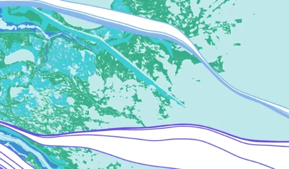

Build interactive web maps and gain new perspectives on your data. Zoom in and search the map to uncover enhanced details, and gain location intelligence with smart, data-driven mapping styles and intuitive analysis tools. Collaboratively build and use maps across your organisation, and share your insights with specific people or the whole world.
What you can do with ArcGIS Online


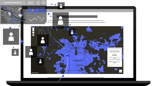
Make maps
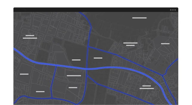
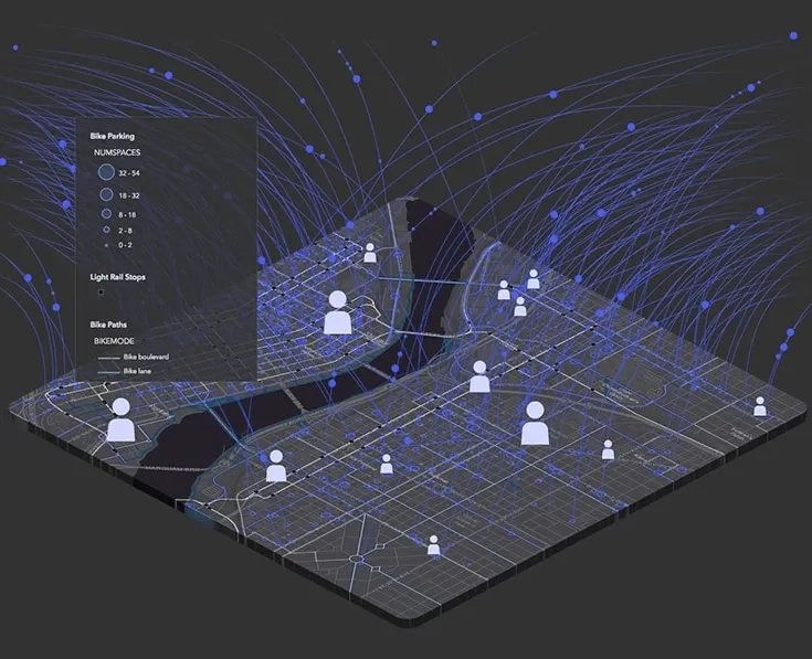
Build interactive maps that explain your data and encourage users to explore. Map your own data and gain perspective by adding the authoritative location-based data included in ArcGIS Online. Use smart mapping to guide your data exploration and visualisation.
Share maps and apps
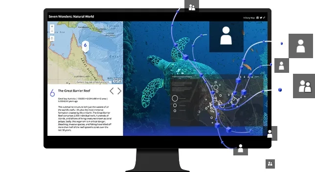
Share your maps with specific groups or everyone. Create web apps with your maps for a focused, interactive experience. Then integrate the apps you built into your digital presence including your website, social media posts, and blog articles.
Collaborate
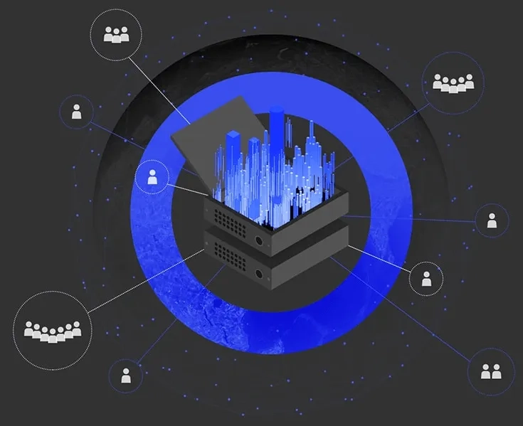
Work effectively across your organisation to build and use maps. Users receive secure, straightforward access to the data, maps, and apps they need to do their work. ArcGIS Online is enterprise ready, meaning it meets the security, authentication, privacy, and user management needs of large organisations.
Analyse data
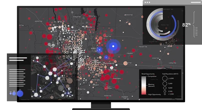
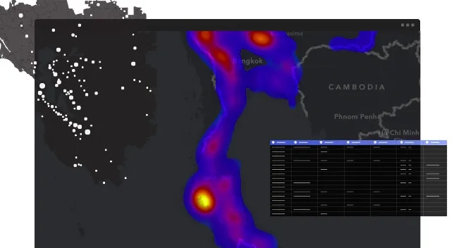
Understand your data in the context of location by using intuitive analysis tools. Reveal relationships, identify prime locations, use optimal routes, and analyse patterns to make predictions. Add valuable context to your data by combining it with Esri's demographic and lifestyle data.
Work with your data
Bring your data into a powerful system that geoenables, hosts, and scales. Update and add to your data without disrupting the maps and apps that use the data. Control who adds to, and modifies, your data.
Ready to learn more? Contact us to speak with a product specialist.
Designed for your success


Cloud-based
Since it's software as a service (SaaS), ArcGIS Online runs on any device with an internet connection. Its world-class infrastructure allows your maps to scale, so thousands of people can concurrently interact with them. Esri manages software updates and maintenance for you.
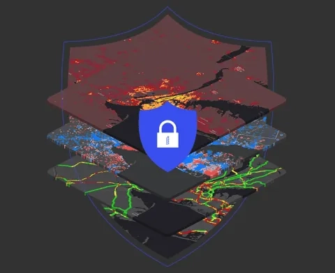
Secure and private
Trusted by even the most regulated industries, ArcGIS Online continually earns security and privacy certifications. It’s resilient, redundant, and built from the ground up with security in mind.
Enterprise ready
ArcGIS Online meets your IT requirements including security, authentication, and privacy. It provides logging and other advanced reports so you can keep up with your organisation’s activities. You can also integrate your enterprise authentication system.
Expand your work
Many products are included with ArcGIS Online, while others can be purchased and added as extensions. ArcGIS Online also integrates with key products in the ArcGIS system.

Curated data and maps
Choose from thousands of ready-to-use maps and datasets. Everything in ArcGIS Living Atlas of the World can be explored and added within ArcGIS Online.
Explore ArcGIS Living Atlas
Optimised field operations
Use apps for real-time data collection, tasking, and operations. The collected data feeds into ArcGIS Online and can be used in apps and dashboards.
Explore field operations
Advanced analysis and mapping
The GIS Professional user type license includes ArcGIS Pro - desktop GIS to build advanced maps, visualisations, and analyses.
Explore ArcGIS Pro
Analyse real-time and big data
Ingest data from Internet of Things platforms, message brokers, or third-party APIs. Process, visualise, and analyse real-time data feeds.
Explore ArcGIS Velocity