ArcGIS Enterprise offers additional capabilities to integrate custom workflows, develop custom applications, and manage your spatial data.
Check out the resources below for a guide on how to customise and extend your capabilities. Then explore the available extensions and find those best suited for your organisation's specific requirements.
Extend your deployment


Extend Enterprise capabilities
Broaden your ArcGIS Enterprise capabilities with a range of extensions.
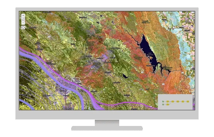
Scale image management with fast and efficient processing, analysing and sharing of large collections of imagery, raster datasets, and remotely sensed data.
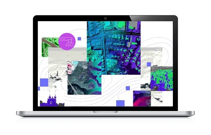
Extract useful information from your imagery to identify patterns, find features, and understand change across landscapes. Raster analytics requires ArcGIS Image Server to be installed.
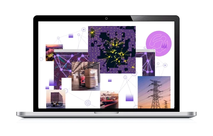
Leverage the power of multiple servers to quickly analyse data - that was previously too big or too complex - across space and time and extract actionable insights.
Discover ArcGIS GeoAnalytics Server
Top tips for ArcGIS GeoAnalytics Server sites

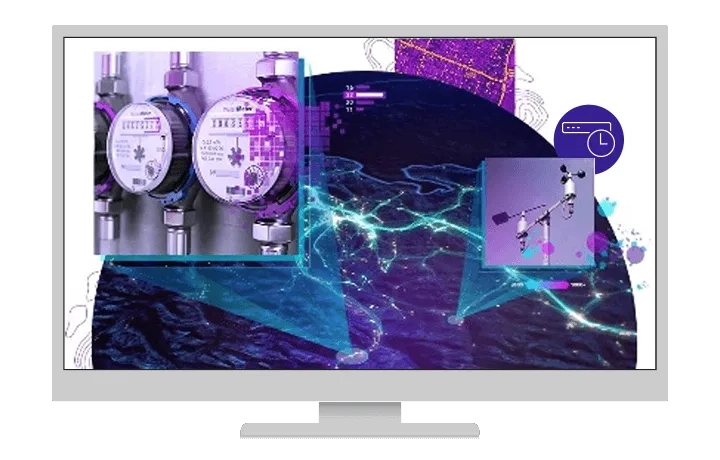
Tap into, analyse and display real-time and Internet of Things (IoT) data to maintain up-to-the-minute situational awareness.
Discover ArcGIS GeoEvent Server
Install and configure ArcGIS GeoAnalytics Server
Create seamless end-to-end experiences that result in efficient, predictable, and repeatable workflows with a scalable workflow management system.
Discover ArcGIS Workflow Manager
Configure ArcGIS Workflow Manager

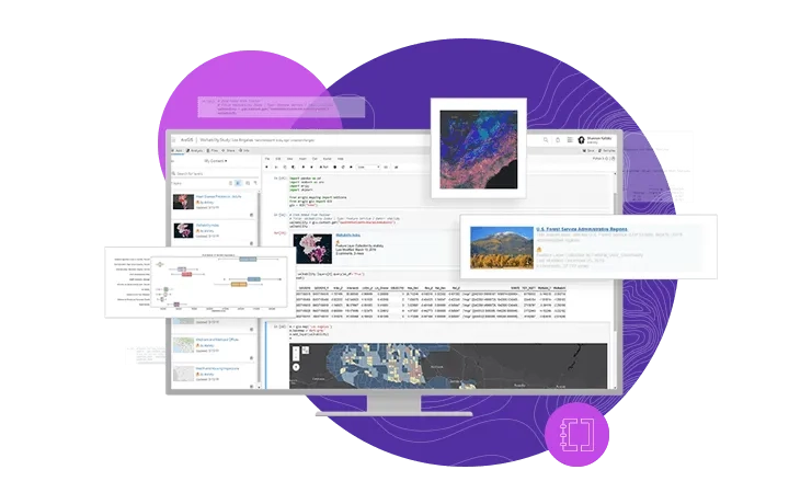
Combine spatial analysis and data science to reduce time spent managing dependencies across data science ecosystems, and increase cross-team collaboration and transparency.
Discover ArcGIS Notebook Server
Install ArcGIS Notebook Server
Construct and visualise a model that simulates a real-world system.