Although our world is 3D, many plans and maps are still 2D. 3D maps are quickly moving from ‘nice to have’ to becoming a ‘must have’ to improve spatial understanding and communication with both internal stakeholders and the public.
GIS technology helps cities understand their environment, make informed decisions, solve problems and build a better future. Smart cities apply GIS maps, data and spatial analytics to achieve policy goals and create positive, collaborative change.
As GIS and spatial data techniques evolve, cities and organisations are discovering that the future of GIS experience is mobile, time-aware, scalable, user friendly and centred on immersive 3D.
3D GIS provides a model of the real-world environment to deliver an engaging and intuitive interface for visualisation, analysis, monitoring and sharing.
Recent technology advances in data collection – such as from drones or airplanes, building information models (BIM), commercial street-view equipment, 3D photogrammetry and Internet of Things (IoT) sensors – generate huge amounts of rich, 3D data that can be transformed into practical information.
Utilities can more accurately model and map their infrastructure; facility managers can explore the total capacity of buildings or a campus; urban planners can determine the context of a proposed development within its existing environment along with its housing and employment potential.
3D GIS is driving a widespread digital transformation that’s resulting in smarter utility grids, more efficient facility planning, improved sustainability and safer, healthier, more liveable cities.
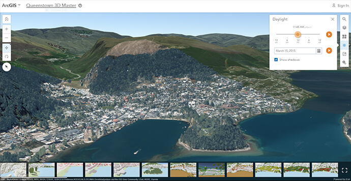
To apply this digital transformation, you need a modern GIS platform like Esri’s ArcGIS Enterprise that lets you see data in its real-world, 3D context and share 3D experiences with anyone who needs them.
Smart organisations are applying 3D GIS capabilities across multiple domains including:
-
Planning, economic development and mobility – transforming the way organisations formulate zoning and growth capacity strategies, evaluate proposed building plans, strengthen transportation and mobility planning and promote stakeholder participation and buy-in. 3D development plans are easier to understand for non-technical audiences, which leads to better communication and faster review processes.
-
Facilities, real estate and campuses – to reduce costs and add value to operational data and processes, facility and property managers can integrate 3D building information with existing facility and real estate data.
-
Utilities and underground infrastructure – utilities can create a 3D record of inventory, mapping the location of assets (including underground assets such as pipes, lines and cables), scalable citywide. 3D asset maps help effectively coordinate maintenance, repairs and upgrades.
-
Public safety and natural risk assessment – an Enterprise 3D GIS lets users analyse and visualise the effects of flooding, noise and other natural hazards to better prioritise adaptation plans and programs and communicate to citizens and stakeholders.
-
IoT and sensor mapping – to keep pace with the massive growth of big data and IoT, Enterprise 3D GIS provides context to IoT networks by transforming raw sensor data into useful, actionable information.
-
Cadastral mapping – modern, accurate and realistic 3D mapping representations can record location and property boundaries relative to ownership and can receive and manage information on completed construction from developers and surveyors as both 2D plans and 3D models.
An Enterprise 3D GIS is designed to be cross-platform, open, accessible and collaborative.
Esri’s solution lets you use powerful 3D desktop applications to create, maintain and analyse 3D content, as well as web apps that let you author and consume 3D data in a web browser. You can also access a massive collection of ready-to-use 3D content including basemaps and world elevation data, plus solutions for domain-specific workflows.
By implementing a commercial off-the-shelf based platform (COTS), you don’t need to create new processes from scratch; instead you can benefit from industry best practices. Your platform can also evolve alongside the COTS technology, which lets you access new updates and capabilities as they are released.
To find out more about 3D GIS capabilities, call 1800 870 750 or send us an email.