My week in San Diego was possibly the most intense and enjoyable educational experience I’ve ever had. Weeks after returning to Brisbane from the Esri User Conference in San Diego, I was still buzzing with excitement.
When I arrived at the Esri UC, I was excited about visiting the U.S. for the first time and attending the world’s largest geospatial event with 16,000 like-minded GIS professionals. While I was attending the conference, I was excited about the new technologies and applications being showcased by Esri and its users.
I was also blown away by the beautiful maps and innovative GIS solutions that people had put together and showcased at the Map Gallery. When I left, I was eager to bring my experiences and my new knowledge back home to share with my colleagues and use in my own work.

The conference was massive, like everyone promised it would be. You don’t understand what 16,000 people in one place means until they all try to cram into an exhibition hall at once for the plenary session of the conference. (Or you try to find a seat at a restaurant in San Diego’s Gaslamp Quarter during the lunchbreaks.)
There were hundreds of workshops and presentations running every day, and I found it hard to choose between them. Luckily, there were no wrong choices: every session I attended was awe-inspiring, showcasing everything from the sleek interface of ArcGIS Pro and the power of web apps built in ArcGIS Online to the real-world applications of these systems in the workflows of organisations like the Chesapeake Bay Conservancy.
Needless to say, when I returned to the hotel every night, my legs were sore, my brain was buzzing, and my notebook full of scribbles.
Out of all the things that happened during this wonderful but crazy week, there were a couple of moments that really stuck out in my mind.
The first was the map gallery reception, where hundreds of beautiful maps and posters were displayed for people to see and their makers to present – including mine!
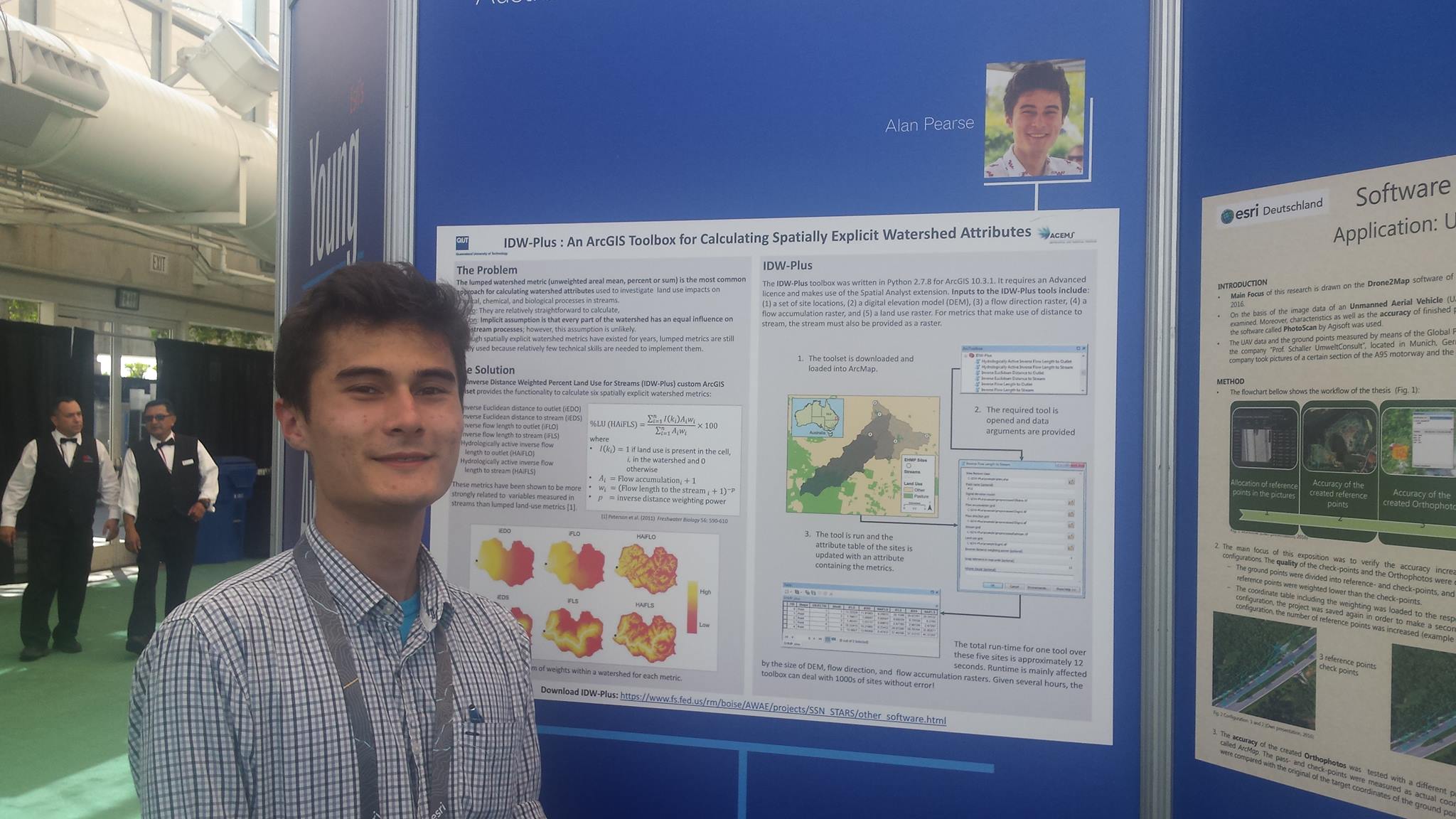
My poster on IDW-Plus generated a lot of interest from researchers and professionals in water management, and I fielded questions left, right and centre for almost two hours straight. In between questions, I also got to know more about the projects of the other Esri Young Scholars and was blown away by their work and the impact it was having in diverse fields like science education, disease prevention, and urban planning.

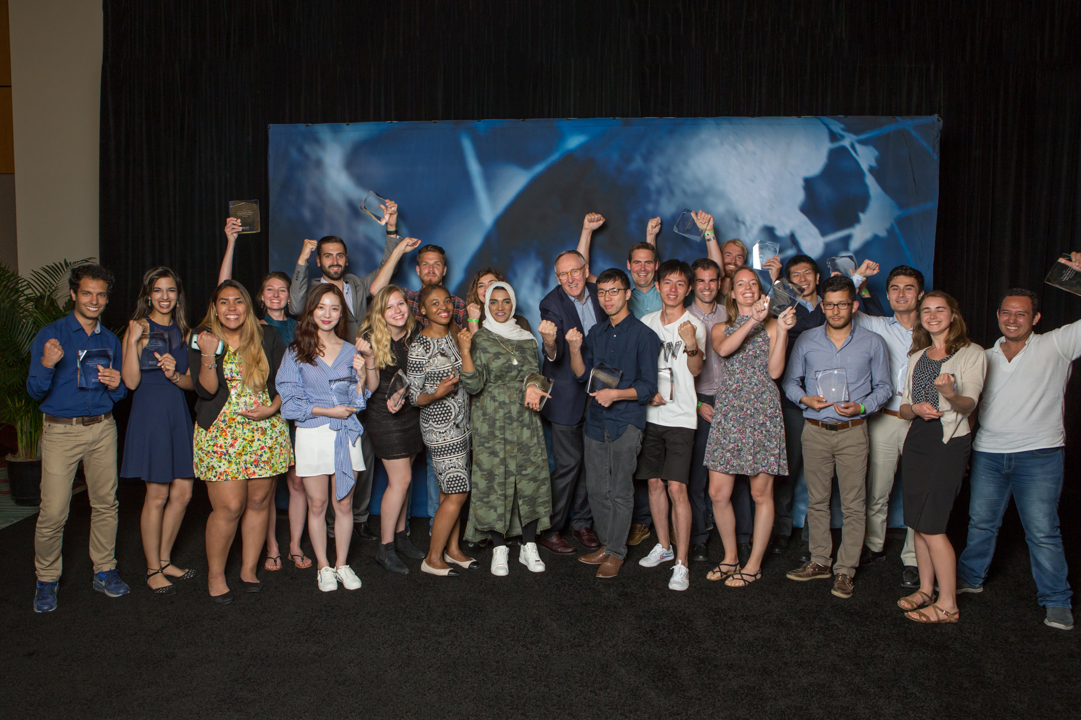
My second highlight was getting to meet the president and founder of Esri, Jack Dangermond, in person, after seeing him speak so passionately at the plenary session about the exciting future of The Science of Where.
Jack was very genuine; down-to-earth and completely devoted to his work in advancing geospatial science. I’d heard as much from people at the conference who were employees of Esri in its earliest days, and I could see it was true when I met him.

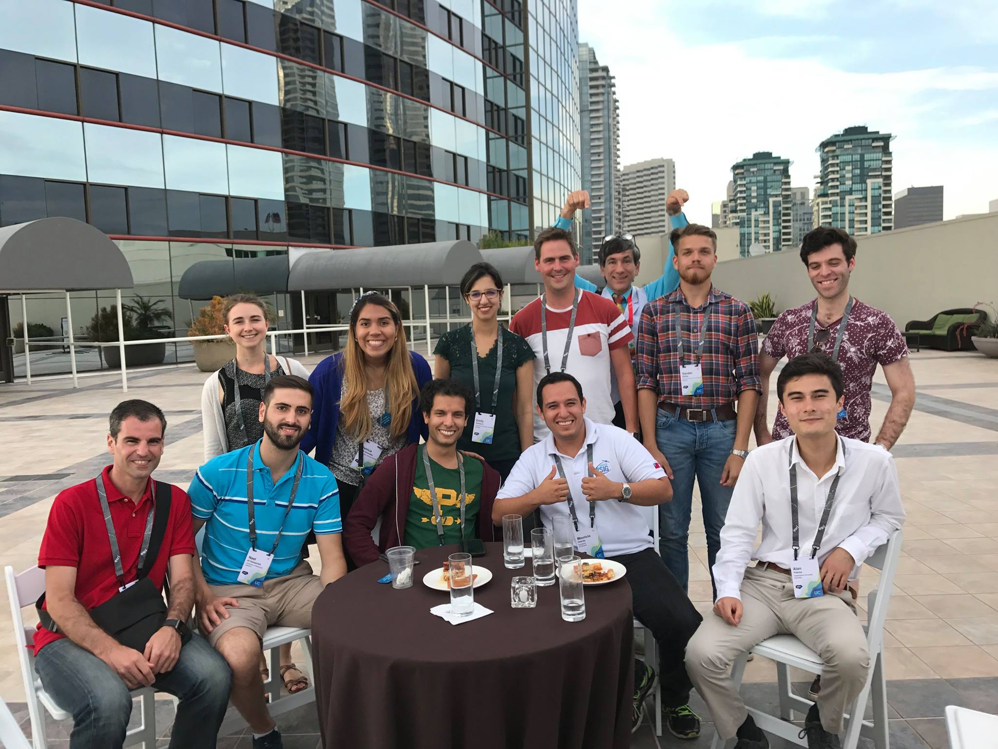
In my off-time, I explored San Diego and caught up with the other countries’ Esri Young Scholars. Among other things, I visited the U.S.S. Midway museum and attended functions and parties with Esri’s Young Professionals Network.
I got to meet hundreds of interesting people doing great work in everything from anthropology to park management and smart cities. I made so many new friends from around the world, all of us brought together by our love of geography. We were all in our element and we had a great time together.

I’m very grateful to Esri Australia for allowing me to have this eye-opening experience. I’d especially like to thank the team from Esri Australia for making sure I had everything I needed in San Diego, and Dr Erin Peterson from the ARC Centre of Excellence for Mathematical and Statistical Frontiers for giving me the opportunity to work on IDW-Plus.
If you’re an Australian university student studying geospatial sciences, you could win a trip to the next Esri UC in San Diego. Watch this space or subscribe to our newsletter for information about entries.

