You are here News & Events Blogs Esri Australia blog Esri Australia blog AllEsri techData-driven decisionsDigital transformationDisruptive innovationGIS in Education Disruptive innovation Driving through roadblocks with GIS innovation Asset managers are using GIS technology to share data and collaborate on public works, leading to less disruption and reduced costs. Learn more Digital transformation Field operations just got smarter Introducing the revolutionary smart technology propelling small-cap miners to new heights and enabling a digitally transformation and optimisation of operations. Learn more Data-driven decisions ACT Parks smart mapping control system for invasive species Invasive Species Manager Steve Taylor shares how ACT Parks and Conservation Service effectively track and manage invasive plants with ArcGIS Field Maps. Learn more Digital transformation Top 5 mining geospatial tech trends A new wave of automation is improving worker safety, raising productivity, and reducing operational costs in Australia's mining operations. See how advanced geospatial technology is helping organisations improve efficiencies at all levels organisation-wide. Learn more
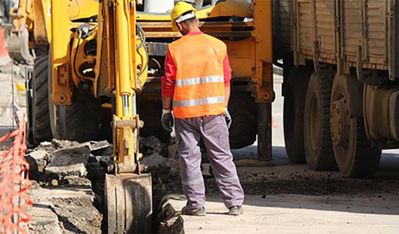
Disruptive innovation Driving through roadblocks with GIS innovation Asset managers are using GIS technology to share data and collaborate on public works, leading to less disruption and reduced costs. Learn more
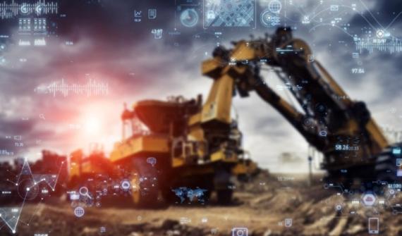
Digital transformation Field operations just got smarter Introducing the revolutionary smart technology propelling small-cap miners to new heights and enabling a digitally transformation and optimisation of operations. Learn more
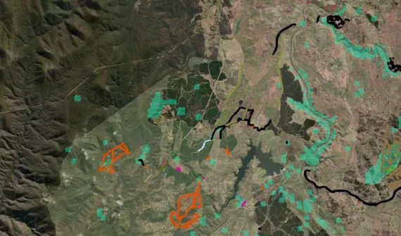
Data-driven decisions ACT Parks smart mapping control system for invasive species Invasive Species Manager Steve Taylor shares how ACT Parks and Conservation Service effectively track and manage invasive plants with ArcGIS Field Maps. Learn more
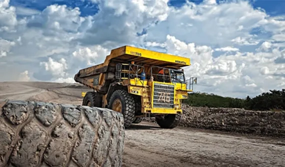
Digital transformation Top 5 mining geospatial tech trends A new wave of automation is improving worker safety, raising productivity, and reducing operational costs in Australia's mining operations. See how advanced geospatial technology is helping organisations improve efficiencies at all levels organisation-wide. Learn more