Explore resources on the role of spatial technology in building community resilience or connect with one of our specialists to find out more.
Enhance disaster preparedness
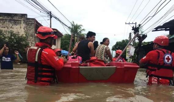
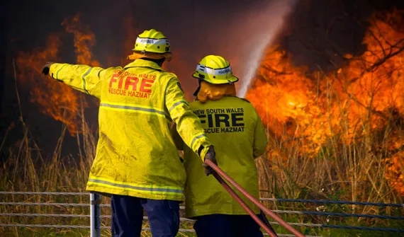
Protect local communities and provide support to those who need it most through advanced location analytics. Maintaining an effective geographic information system is critical to the mission of public safety.
Share authoritative, actionable information
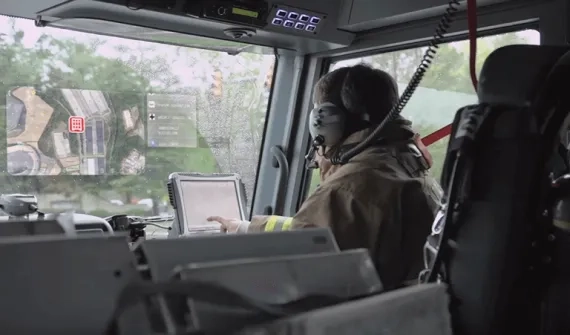
Inform a whole of community response with detailed information on the location, status and context of all incidents. Using Web GIS, connect users across an organisation to reduce response times.
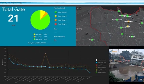
Inform key decision-makers in real-time
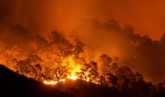
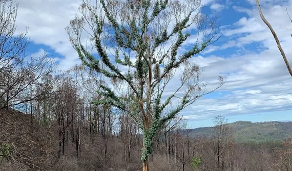
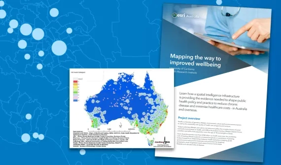
Develop a system of near real-time insight and analysis to inform policy decisions. Identify vulnerable populations, or bushfire prone areas with spatially-enabled data.