In the race to net zero emissions, tech-led innovations will establish the viability of large-scale carbon farming projects, which are tapped to remove millions of tons of carbon dioxide from the atmosphere.
Soil carbon is one of five high priorities within the Federal Government's Low Emissions Technology Investment Roadmap. Despite rapid progress, cost-effective measurement of carbon in agricultural soil remains challenging. Innovative applications of geospatial technology may provide the answer – unlocking widespread benefits of carbon farming for Australian farmers, the climate and economy.
A climate of accord
In December 2015, 195 countries – including Australia – signed up for the United Nations’ Paris Agreement to combat climate change. For the first time in history, both developed and developing countries committed to reducing the amount of carbon dioxide emitted into the atmosphere. The core aim of this agreement is to limit emissions to net-zero – globally – by 2050 with the expectation that developed countries will take the lead.
The race to net-zero
Leading businesses have committed to reducing emissions and diverting investment to clean energy, with net-zero a key goal for companies including AGL, Amcor, Wesfarmers, and Telstra. By preparing for the transition to net-zero, Australians will improve collaboration, increase investment certainty, and take advantage of more innovative and environmentally friendly economic opportunities. Globally, organisations such as Shell are now linking executive pay to carbon emission targets.
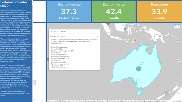
While the concept of carbon neutrality is by no means new, there is an increasing sense of urgency as executives assess cutting-edge technology in this space. Geographic Information Systems (GIS) technology underpins many government and industry programs to achieve net-zero targets and – in particular – inform high priority projects such as carbon farming.
The untapped potential of carbon farming
Carbon farming is the process of changing agricultural practices or land use to increase the amount of carbon stored in the soil and vegetation (sequestration) and to reduce greenhouse gas emissions from livestock, soil or vegetation (avoidance).
If applied to a quarter of Australia’s crop and grazing lands, carbon farming practices could draw between 35 and 90 million tonnes of carbon dioxide per annum from the atmosphere. Detected increases in soil carbon earn Australian farmers carbon credits, providing another income stream for the property and improving soil health.
Currently, the cost of measuring changes in soil carbon is an obstacle to widespread adoption. As a priority, the Federal Government is looking to lower the cost of soil carbon measurement to under $3 per hectare per year.
Remote sensing satellite data and geospatial technology offers the most promising avenue for cost-effective measurement. The gathering of location intelligence and spatial analysis within GIS can be used to study current land use, land use change and ‘what if’ scenarios for responsible land-use planning.
Climate data collected using geospatial technology can be visualised, contrasted, and forecasted over time, thereby providing a method for decision-makers to monitor – in real-time – the effectiveness of carbon farming initiatives.
Consequently, GIS will be a critical tool underpinning a transparent, data-driven approach to the carbon market and net-zero emission targets. Tune in for the next blog, which will explore how specific innovations in remote sensing and GIS capabilities can be applied to carbon farming monitoring and measurement.
Interested in the role of GIS in climate change and carbon farming? If this is an area you’re working on, let’s connect.