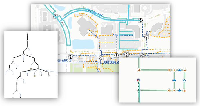
The utility industry is undergoing a big transformation. The sector has undergone more advances in the last five years than have occurred in the last one hundred. Now, GIS technology is bringing new capabilities to utility management.
One of the most exciting aspects of the recent ArcGIS 10.6 release is the extent to which is it now supporting huge changes in the utilities industry with the introduction of the Utility Network Management extension. These latest developments provide advanced support to electricity, gas, water and telecommunications network management.
The transformation happening in the utility sector can be attributed to the impact of new market dynamics including next-generation solar and wind energy, smart grid technology, the Internet of Things (IoT), new energy storage materials, and climatic events such as droughts and flooding.
Today’s utility customers will become prosumers: not just consumers but also producers, and storers, of energy.
The impact of new technology and increased consumer expectation for visibility means that utilities need to transform their network management approach.
As a starting point, utilities need a way to bring information to everyone, organisation-wide. The ArcGIS platform does this already, but with the proliferation of tools such as sensors, smart-grid data, distributed generation, IoT and real-time data integration, utilities also need tools that are responsive enough to meet higher performance targets.
With mobile devices in use across organisations, workers need full cross‐platform capability, while at the same time, management and office-based staff need a real-time, interactive view for smarter decision-making.
This demands greater scalability, better transaction mechanisms, higher fidelity device modelling and full cross-platform capability.
The ArcGIS Utility Network Management extension meets these new demands through an advanced utility network and transaction system.

The benchmark for utility network models
The utility network offers a comprehensive framework of functionality for utility and telecom networks. It’s designed to model all assets within a utility system, such as wires, pipes, valves, zones, streams, devices, and circuits, and allows real-world behaviour to be built into the featured model.

With the Utility Network Management extension, users can:
-
Create and edit features of utility and telecom equipment
-
See how features in the network are connected
-
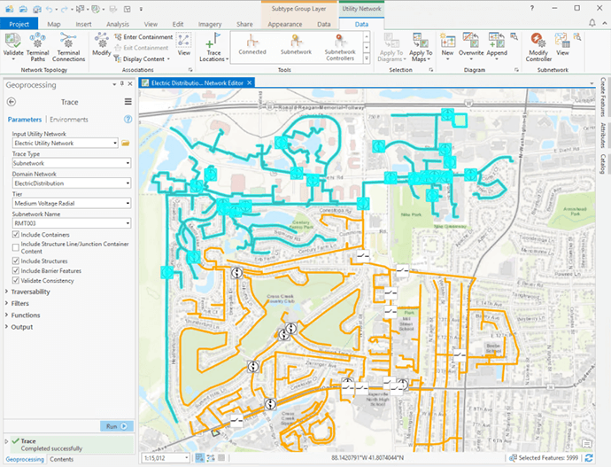
Trace how resources flow through the network
-
Analyse and react to network impact of events like storms, outages or equipment failure
-
Share and collaborate everywhere: on desktop and mobile devices and in the field
The utility network leverages the entire ArcGIS platform to create a seamless GIS system that presents an accurate and unified system status view. Information can be served from the portal, readily available on every device from desktop to smart phones.
New capabilities available to utility network managers include:
-
A comprehensive network view
-
Optimisation for high performance, scalable to large utilities
-
New models to show system component connections
-
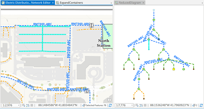
Uncluttered representation of dense network system areas
-
Improved data integrity to reduce data-entry errors
-
Scope for advanced analysis of an entire network

Modelling utility networks with greater clarity
Another game-changing feature is the ability to accurately replicate the real-time behaviour of a network with pre-configured data models, which can be extended and customised to address organisational needs.
Demonstrating real-world network behaviour gives a view of the utility network at an unprecedented level of detail, replicating the most common GIS workflows and analytics.
The benefits of gaining an organisation-wide network view will drive gains in productivity, efficiency, profitability and ultimately, end-consumer satisfaction.
The Utility Network Management extension brings a comprehensive, real-world, asset-rich utility network view, providing the scope for utility managers to work more efficiently, more responsively and with quicker incidence response.
For more information about the ArcGIS Utility Network Management extension – call 1800 870 750 or send me an email.

