See what you've been missing in your data
Maps help you spot spatial patterns in your data so you can make better decisions and take action. Maps also break down barriers and facilitate collaboration. ArcGIS gives you the ability to create, use, and share maps on any device.
Create Beautiful, Interactive Maps
Whether you're an analyst, developer, or line-of-business manager, you can create incredible-looking maps in minutes and share them securely. ArcGIS is the state-of-the-art platform for creating and delivering beautiful maps that emphasise what's important and use best practices in cartography.
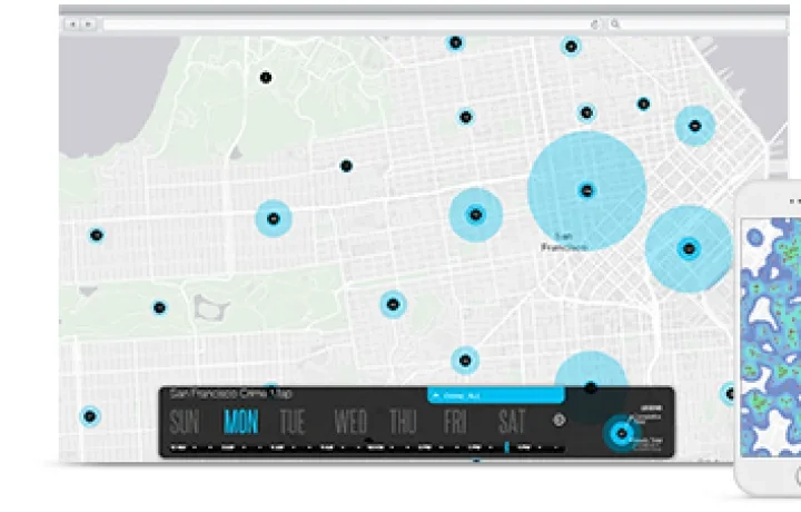
Create Custom Maps for Any Audience
You don't have to start from scratch to create custom maps. Make simple, focused, and responsive maps using drag-and-drop widgets in just a few minutes. Or you can pour your maps into a variety of templates created for your industry that show change over time, compare before and after imagery, and so much more.
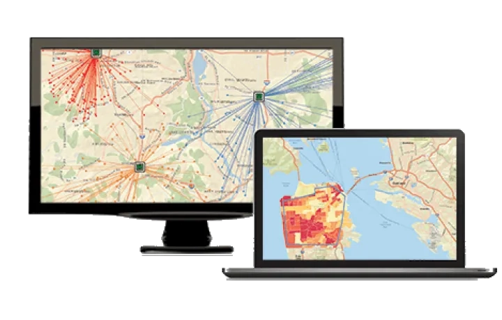
Combine Data from Many Sources
Pull together data you have in spreadsheets and databases, and then combine it with publicly available data, live data feeds, or data shared by other organisations. ArcGIS lets you stack different types of data to help you see relationships, patterns, and trends.
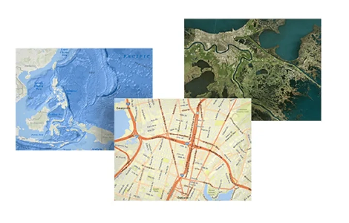
Give Context to Your Data
Where in the world is your data? Layer your data on top of world imagery, streets, topographic maps, or ocean basemaps. ArcGIS has basemaps in multiple cartographic styles designed to emphasise different views of the world. You can even create your own basemap.
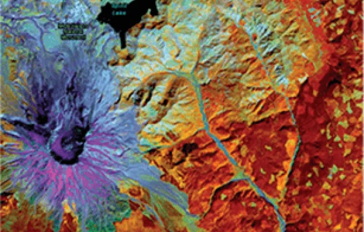
Visualise Your Data in 2D or 3D
Sometimes, seeing information in 3D can shed even more light on your data. For example, if you are assessing the shadow effect that a tall building will have on your city or if you are trying to calculate sight lines for a new cell tower, having a 3D map is crucial. ArcGIS allows easy switching between 2D and 3D.
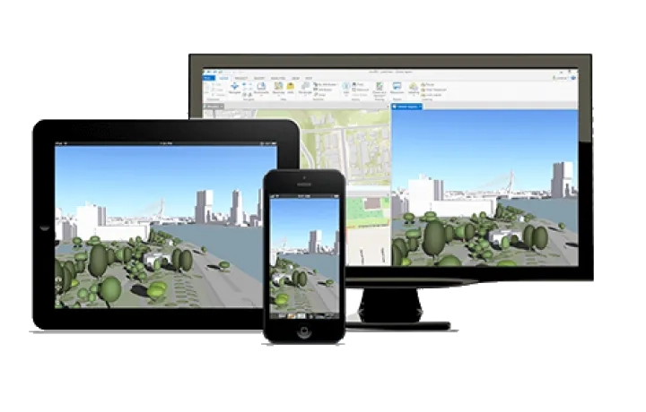
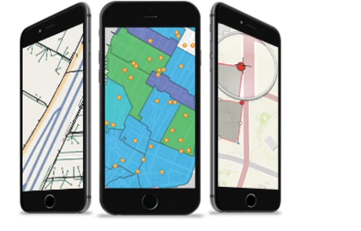
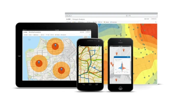
Use Maps Everywhere, On Any Device
Access the information you need in any situation. You can interact with mapping apps using a desktop computer, web browser, or smartphone. Whether you're working in a connected or disconnected environment, in a secure facility behind a firewall or using a public website, the ArcGIS platform has you covered.
Develop Great Mapping Apps with ArcGIS APIs and SDKs
With ArcGIS, you get a full, completely integrated toolbox with open APIs that let you achieve whatever you can imagine. Build mobile apps for Android and iOS. Design for platforms with .NET, Mac OS X, and Java. Take an agnostic approach with JavaScript and Qt. You name it, you can do it.