Geoscience Australia historically focused on providing satellite imagery to industry in government. As technology progressed and the ability to map the complexities of our earth emerged, Geoscience Australia expanded into an array of topics including natural hazards, environmental issues, groundwater research, marine and coastal research, carbon capture and storage and vegetation monitoring.
Current projects
- Digital Earth Australia utilises spatial data and images to detect physical change across Australia. This data provides a wealth of information to Australian government and industry for monitoring the environment, increasing productivity in the agriculture and mining industries, and also supports the rapidly growing market for spatial information and services.
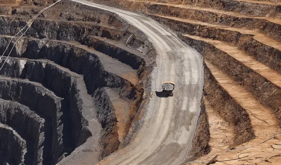
- Exploring the Future focuses on gathering new information on the potential mineral, energy and groundwater resources in northern Australia and parts of South Australia. This includes data acquisition using geophysical surveys, geochemical sampling, hydrological mapping and stratigraphic drilling. The data, publicly available, will be used to inform policy and decisions within the government and industry.
- Positioning Australia facilities the technical and policy coordination on a range of challenges that we face, such as data and service standards, spectrum management, GNSS capability development, multilateral cooperation and legal traceability of position.
As well as these integral projects that will help map out our nation, Geoscience Australia have worked historically on a wide array of ventures, including:
-
Investigation into Australia's natural gas resources
-
Gawler Mineral Promotion Project, which focuses on copper, uranium and gold deposits
-
Bight Basin exploration into petroleum source rocks
-
UNCOVER, which focuses on mineral resources and future economic prosperity
-
Assessing a city's ricks of hazards and their impacts
-
Improving tsunami mitigation with the opening of the Joint Australian Tsunami Warning Centre which provides a warning within 15 minutes
-
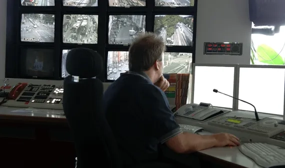
Real time crisis response mapping through the use of digital maps to brief stakeholders in crisis
-
Strengthening agriculture in the Ord Valley through dam and land releases
-
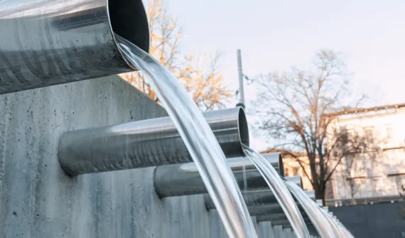
Preserving the Great Artesian Basin which repaired uncontrolled ores and led to 200 billion litres of water that would have been lost to evaporation
-
Protecting Adelaide's drinking water through hydrogeological mapping, which allowed for 450 kilotonnes of salt removed from the Murray River

-
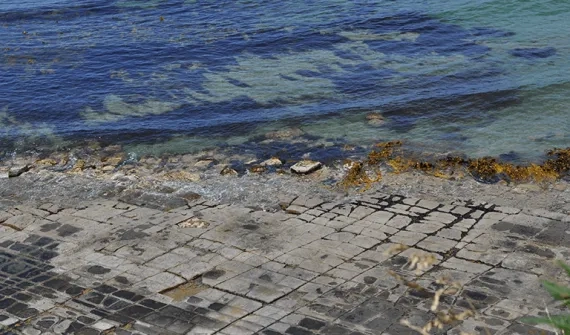
Mapping the sea floor, which can be used in a number of fields and applications. Most recently was the search for Malaysia Airlines flight MH370
-
Redefining Australia's maritime boundary through locating and defining our continental shelf
-
Protecting Antarctic marine jurisdictions by mapping the sea floor, which lead to 1200km2 area declared as Vulnerable Marine Ecosystems
-
Improving the resolution of our topography data from 150m to 1m
-
The creation of our first Australia's first national coordinate system, and the continued update to this system which in turn makes it more affordable and accessible to farmers
-
Completing a national census of land cover with ABARES

-
Collecting images of Australia from space, from the Alice Springs Ground Station
-
Collecting assets of national geological significance such as oil and gas
-
Identified critical commodities Australia has potential to supply, such as 17 of the elements needed for your mobile phone