Access and design with data-driven maps inside Adobe Illustrator and Photoshop. Quickly find and add geographic content to your work as editable vector layers and high resolution images.
Make every place a creative space
Add your own creative vision to tell your story in a unique way using location data on thousands of topics.
Ready to learn more? Contact us to speak to a product specialist.

Maps at your fingertips
It's your choice - street maps, political boundaries, terrains, satellite images, and other spatial data.

Take artistic control
Aesthetic design and style are up to you. Creative freedom lets you make the beautiful maps you want.

A seamless experience
Get the tools you need while keeping data and files in sync between ArcGIS and Adobe.

Return on data investment
Serve up GIS data and analytics to your designers and publishers for maximum value.
Your brand, your story
Get the most out of your maps - from internal decision making, to external communication.
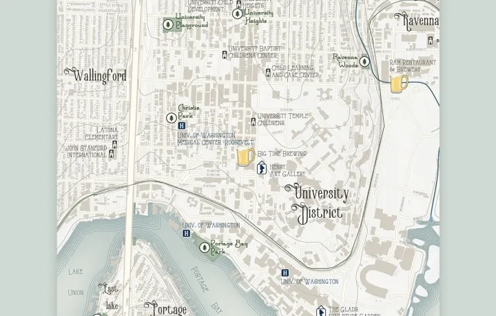
Create your unique style
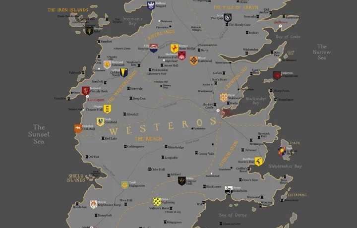
Revive class map designs
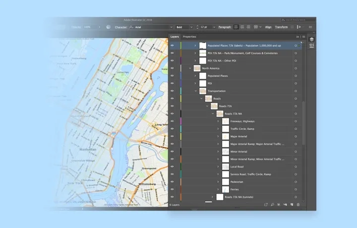
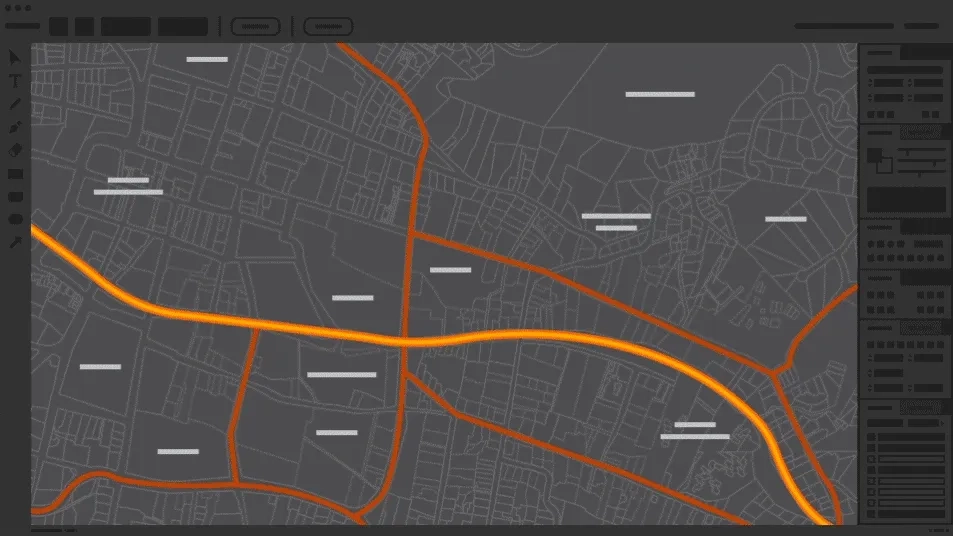
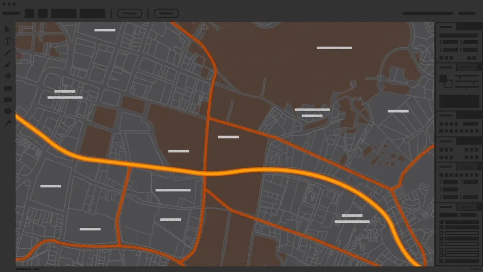
Well-defined layer structure
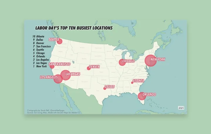
Visualise data spatially
How it works
Design simply and efficiently
Creatively enhance your map-based projects by pulling in geographic data to Adobe Photoshop and Illustrator without ever having to leave the application.

Exceed expectations
Tracing maps to highlight specific points of interest is a thing of the past. With ArcGIS Maps for Adobe Creative Cloud, you save yourself time and energy while eliminating the margin of error.
Tell stories with greater impact
Import your data and—within seconds—begin designing a visually appealing story that enhances your company's branding.
ArcGIS Maps for Adobe Creative Cloud Plans
Create an exciting narrative through a unique visual design by pulling maps layers as vector files, or image artwork into Adobe Photoshop or Illustrator. Access and use the extension based on your functional needs and budget.
ArcGIS Online and ArcGIS Enterprise accounts
Use your organisational account to access advanced features based on the privileges associated with assigned user types (Viewer, Editor, Creator, or GIS Professional user types).

New Esri customer
Sign up for a free trial or contact us for more information.
Existing ArcGIS account