You are here News & Events Blogs Esri Australia blog Esri Australia blog AllEsri techData-driven decisionsDigital transformationDisruptive innovationGIS in Education Digital transformation Lessons learned from the CrowdStrike outage The CrowdStrike global outage demonstrated the critical importance of robust response plans and security measures for all business systems, including GIS. Learn more Disruptive innovation Driving through roadblocks with GIS innovation Asset managers are using GIS technology to share data and collaborate on public works, leading to less disruption and reduced costs. Learn more Esri tech ArcGIS user types: What you need to know The June 2024 ArcGIS Online update introduced several new features and capabilities, most importantly, the new user type licencing model that streamlines administration workflows and expands current user roles. Learn more Digital transformation Overcoming Australia’s geospatial skills deficit: Charting the future of GIS Australia is grappling with an emerging skills gap in geospatial technology that is costing businesses an estimated $3.1 billion annually and could reach 1,400 professionals. Learn more Data-driven decisions Tracking sustainability with smart maps Committed to reducing the impact of its mining activities in Senegal, France's Eramet leverages geospatial technology to make decisions across its mineral sand's operation. Learn more Digital transformation Cloud transformation: Powering tomorrow’s success As GIS systems continues to grow in complexity and importance, how can organisations keep up? The answer may lie in the cloud. Learn more GIS in Education Maintaining the balance of Heron Island’s diverse ecosystem Heron Island’s transparent waters and breathtaking reefs are home to several marine creatures — from the lemon, black tip and epaulette sharks to the eagle rays and guitar sharks — but most importantly, it’s a significant turtle nesting area. Learn more GIS in Education The way forward: Single sign-on for academia SSO makes it easier to track ArcGIS Online usage across campus to be able to connect information between ArcGIS Online and authoritative campus systems. Learn more Esri tech Digitising exploration practices towards sustainability Read how DigiSHEC digitally transformed OZ Minerals' (now BHP) exploration project lifecycle management, winning three awards in 2023. Learn more Disruptive innovation Before You Dig update unlocks enhanced user experience Before You Dig Australia (BYDA) recently introduced a new service for members and users, speeding up enquiry lodgement through the BYDA API. Using the BYDA API, you can automate the process of submitting jobs to the referral service, improving productivity and accuracy. Learn more GIS in Education 2023 Esri Young Scholar: From winner to intern Follow the story of the 2023 Esri Young Scholar Award winner, Zih-Hong Lin — from measuring green space equality to gaining firsthand experience in solving real-world challenges. Learn more Data-driven decisions Strengthening Australia’s disaster response capabilities GIS technology has been at the heart of some of the most challenging response and reconstruction efforts globally. Demonstrating its benefit in numerous emergency situations in Australia and around the world. Learn more Digital transformation Field operations just got smarter Introducing the revolutionary smart technology propelling small-cap miners to new heights and enabling a digitally transformation and optimisation of operations. Learn more Disruptive innovation WildBear Entertainment sets benchmark for storytelling through maps Award winning production company Wildbear Entertainment sets industry benchmark for visual storytelling through maps. Learn more Data-driven decisions Satellite imagery and the search for MH370 debris When the Malaysian Airlines flight MH370 was determined by authorities to have crashed into the ocean the same question was asked repeatedly: could satellites help find the crash site? Learn more Digital transformation Digital Twin & GIS underpins Cross River Rail In Brisbane, Australia's fastest-growing city, a digital twin and a virtual reality program guide the design and construction of the Cross River Rail. Learn more Data-driven decisions Get to know Mike King Learn more about the man behind the breakout Australian true crime podcast Mapping Evil with Mike King. Learn more GIS in Education GIS in Environmental Education Implementing GIS in Environmental Science education allows the next generation of students to prepare for future environmental challenges. Using GIS, students can advance their conservation efforts, maintain ecosystems, and sustain biodiversity. See how GIS in Environmental Science can be implemented in your classroom. Learn more Digital transformation WaterNSW streamlines asset monitoring with unique application WaterNSW is using ArcGIS to capture and analyse critical field data to enhance asset performance and maintain reliable service delivery to its customers. Learn more Data-driven decisions The changing landscape of vegetation management Leading asset management and GIS specialist, Michael Krome talks about the current trends in vegetation management and how asset owners should be optimising their maintenance programs to meet changing requirements. Learn more Data-driven decisions ACT Parks smart mapping control system for invasive species Invasive Species Manager Steve Taylor shares how ACT Parks and Conservation Service effectively track and manage invasive plants with ArcGIS Field Maps. Learn more Digital transformation 6 essentials for your next GIS implementation Learn about and avoid common mistakes that slow down or derail the implementation of a new GIS. Learn more Digital transformation APA's playbook for pipeline and gas utilities Discover how APA Group rapidly designed and deployed a whole-of-organisation geospatial platform creating instant access to data and insights - and for the first time, a consistent cloud-based approach. Learn more Disruptive innovation Replacing 50,000 man hours with AI Discover Director of Artificial Intelligence Omar Maher's state-of-the-art approach to detecting overhead powerlines with deep neural networks. Learn more Data-driven decisions How to optimise GIS remote work As COVID-19 restrictions impact countries around the world, your GIS team may need to work remotely for several months. Find out how you can optimise an existing distributed working environment in part two of the blog series. Learn more Digital transformation How to transition your GIS team to work remotely COVID-19 has catalysed a global transition to remote work. Find out how your GIS team can make the transition to remote work a success in part one of the blog series. Learn more Digital transformation How small councils achieve great things with GIS Small LGAs face challenges that their larger, usually urban counterparts do not. Yet, many are achieving outstanding results with their GIS capability through intelligent application of modern web GIS. Learn more Digital transformation The essentials of managed cloud services Esri Australia's managed cloud services offers various packages for the deployment of your ArcGIS stack in the cloud. Learn more Data-driven decisions Where Australia imports its food from: world map Next time you look at your plate, you might ask "where does my food come from?" Thanks to location-based analytics, you can search this world map to find out where Australia imports food from. Learn more Data-driven decisions The role of 3D data in emergency response The use of three-dimensional (3D) data, combined with other spatial data may hold the key to the future of emergency calls - but are Australian authorities harnessing its full potential? Learn more
Digital transformation Lessons learned from the CrowdStrike outage The CrowdStrike global outage demonstrated the critical importance of robust response plans and security measures for all business systems, including GIS. Learn more
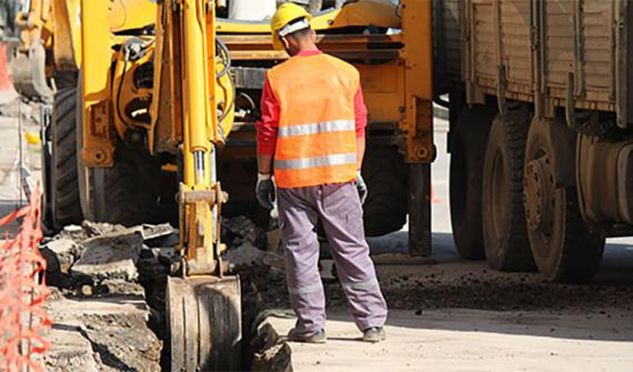
Disruptive innovation Driving through roadblocks with GIS innovation Asset managers are using GIS technology to share data and collaborate on public works, leading to less disruption and reduced costs. Learn more
Esri tech ArcGIS user types: What you need to know The June 2024 ArcGIS Online update introduced several new features and capabilities, most importantly, the new user type licencing model that streamlines administration workflows and expands current user roles. Learn more
Digital transformation Overcoming Australia’s geospatial skills deficit: Charting the future of GIS Australia is grappling with an emerging skills gap in geospatial technology that is costing businesses an estimated $3.1 billion annually and could reach 1,400 professionals. Learn more
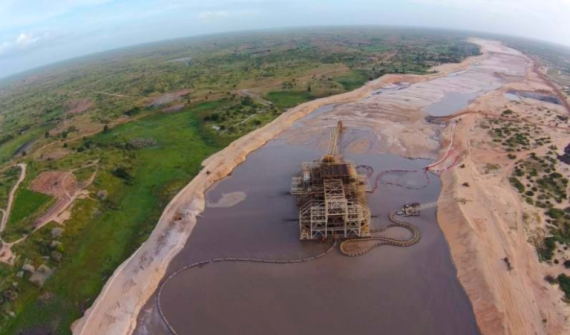
Data-driven decisions Tracking sustainability with smart maps Committed to reducing the impact of its mining activities in Senegal, France's Eramet leverages geospatial technology to make decisions across its mineral sand's operation. Learn more
Digital transformation Cloud transformation: Powering tomorrow’s success As GIS systems continues to grow in complexity and importance, how can organisations keep up? The answer may lie in the cloud. Learn more
GIS in Education Maintaining the balance of Heron Island’s diverse ecosystem Heron Island’s transparent waters and breathtaking reefs are home to several marine creatures — from the lemon, black tip and epaulette sharks to the eagle rays and guitar sharks — but most importantly, it’s a significant turtle nesting area. Learn more
GIS in Education The way forward: Single sign-on for academia SSO makes it easier to track ArcGIS Online usage across campus to be able to connect information between ArcGIS Online and authoritative campus systems. Learn more
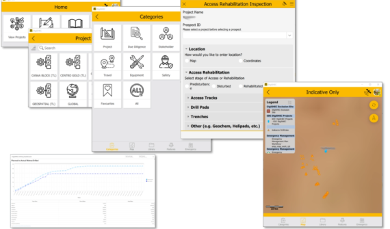
Esri tech Digitising exploration practices towards sustainability Read how DigiSHEC digitally transformed OZ Minerals' (now BHP) exploration project lifecycle management, winning three awards in 2023. Learn more
Disruptive innovation Before You Dig update unlocks enhanced user experience Before You Dig Australia (BYDA) recently introduced a new service for members and users, speeding up enquiry lodgement through the BYDA API. Using the BYDA API, you can automate the process of submitting jobs to the referral service, improving productivity and accuracy. Learn more
GIS in Education 2023 Esri Young Scholar: From winner to intern Follow the story of the 2023 Esri Young Scholar Award winner, Zih-Hong Lin — from measuring green space equality to gaining firsthand experience in solving real-world challenges. Learn more
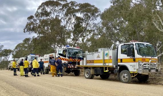
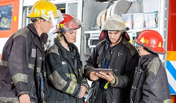
Data-driven decisions Strengthening Australia’s disaster response capabilities GIS technology has been at the heart of some of the most challenging response and reconstruction efforts globally. Demonstrating its benefit in numerous emergency situations in Australia and around the world. Learn more
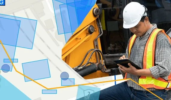
Digital transformation Field operations just got smarter Introducing the revolutionary smart technology propelling small-cap miners to new heights and enabling a digitally transformation and optimisation of operations. Learn more
Disruptive innovation WildBear Entertainment sets benchmark for storytelling through maps Award winning production company Wildbear Entertainment sets industry benchmark for visual storytelling through maps. Learn more
Data-driven decisions Satellite imagery and the search for MH370 debris When the Malaysian Airlines flight MH370 was determined by authorities to have crashed into the ocean the same question was asked repeatedly: could satellites help find the crash site? Learn more
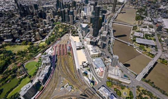
Digital transformation Digital Twin & GIS underpins Cross River Rail In Brisbane, Australia's fastest-growing city, a digital twin and a virtual reality program guide the design and construction of the Cross River Rail. Learn more
Data-driven decisions Get to know Mike King Learn more about the man behind the breakout Australian true crime podcast Mapping Evil with Mike King. Learn more
GIS in Education GIS in Environmental Education Implementing GIS in Environmental Science education allows the next generation of students to prepare for future environmental challenges. Using GIS, students can advance their conservation efforts, maintain ecosystems, and sustain biodiversity. See how GIS in Environmental Science can be implemented in your classroom. Learn more
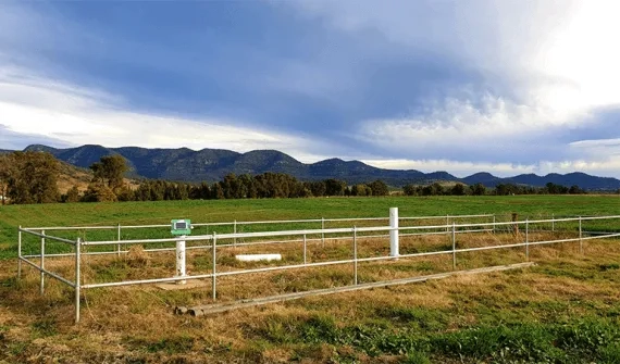
Digital transformation WaterNSW streamlines asset monitoring with unique application WaterNSW is using ArcGIS to capture and analyse critical field data to enhance asset performance and maintain reliable service delivery to its customers. Learn more
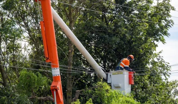
Data-driven decisions The changing landscape of vegetation management Leading asset management and GIS specialist, Michael Krome talks about the current trends in vegetation management and how asset owners should be optimising their maintenance programs to meet changing requirements. Learn more
Data-driven decisions ACT Parks smart mapping control system for invasive species Invasive Species Manager Steve Taylor shares how ACT Parks and Conservation Service effectively track and manage invasive plants with ArcGIS Field Maps. Learn more
Digital transformation 6 essentials for your next GIS implementation Learn about and avoid common mistakes that slow down or derail the implementation of a new GIS. Learn more
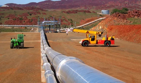
Digital transformation APA's playbook for pipeline and gas utilities Discover how APA Group rapidly designed and deployed a whole-of-organisation geospatial platform creating instant access to data and insights - and for the first time, a consistent cloud-based approach. Learn more
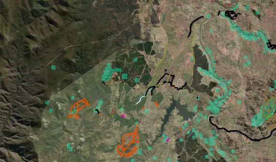
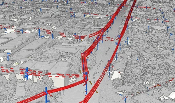
Disruptive innovation Replacing 50,000 man hours with AI Discover Director of Artificial Intelligence Omar Maher's state-of-the-art approach to detecting overhead powerlines with deep neural networks. Learn more
Data-driven decisions How to optimise GIS remote work As COVID-19 restrictions impact countries around the world, your GIS team may need to work remotely for several months. Find out how you can optimise an existing distributed working environment in part two of the blog series. Learn more
Digital transformation How to transition your GIS team to work remotely COVID-19 has catalysed a global transition to remote work. Find out how your GIS team can make the transition to remote work a success in part one of the blog series. Learn more
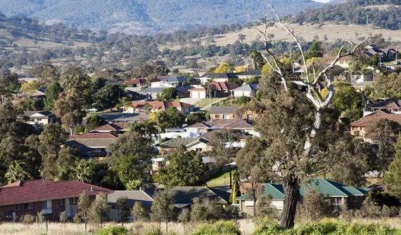
Digital transformation How small councils achieve great things with GIS Small LGAs face challenges that their larger, usually urban counterparts do not. Yet, many are achieving outstanding results with their GIS capability through intelligent application of modern web GIS. Learn more
Digital transformation The essentials of managed cloud services Esri Australia's managed cloud services offers various packages for the deployment of your ArcGIS stack in the cloud. Learn more
Data-driven decisions Where Australia imports its food from: world map Next time you look at your plate, you might ask "where does my food come from?" Thanks to location-based analytics, you can search this world map to find out where Australia imports food from. Learn more
Data-driven decisions The role of 3D data in emergency response The use of three-dimensional (3D) data, combined with other spatial data may hold the key to the future of emergency calls - but are Australian authorities harnessing its full potential? Learn more