At APA Group, Australia’s leading energy infrastructure provider, managing approximately $26 billion of the country’s energy infrastructures, including over a 15,000-kilometre network of gas transmission pipelines is no small feat.
Stretching from Pilbara to Perth; Darwin to Alice Springs and connecting major cities like Brisbane, Sydney, Melbourne, and Adelaide, this network is crucial for delivering energy across the country. Ensuring the safety and integrity of these critical assets while meeting regulatory compliance poses a significant challenge, which is where innovative technology comes into play. APA utilised cutting-edge technology — from imagery data capture and storage to organisation, analysis, and strategic sharing —to revolutionise pipeline operations and decision-making to enhance operational efficiency.
To learn more about APA's game-changing imagery, get the one-page case study and book a demo.
Challenges
Monitoring APA’s vast gas transmission pipeline network and its associated facilities monthly posed several challenges due to the distribution of assets across remote locations.
While APA on-the-ground patrols were detecting potential gas leaks, vegetation and other anomalies that could potentially damage or restrict access to the infrastructure, the process was not scalable to effectively monitor the geographically expansive network.
To generate more comprehensive and timely monitoring, APA looked to implement remote sensing inspections as an efficient, economical solution. Not only would remote asset inspections result in objective feedback, but it would also eliminate millions of kilometers of driving activity along with the associated carbon emissions and HSSE risks every month.
According to APA Team Lead Geospatial Data, new imagery captured from the monthly inspections adds to APA’s valuable, growing library of site observations that are not available in the same specification or currency from commercial imagery providers.
“A critical test came during the Ballarat incident when gas bubbles were detected in water. The new system allowed us to process and analyse imagery within hours, demonstrating its effectiveness and leading to a push for even faster data processing in the future.” Team Lead Geospatial Data, APA Group
Solutions
APA partnered with an industry leader for real-time surveillance and capture of aerial imagery, to undertake the initial orthorectification phase for a large collection of images intended for an extensive pipeline monitoring project.
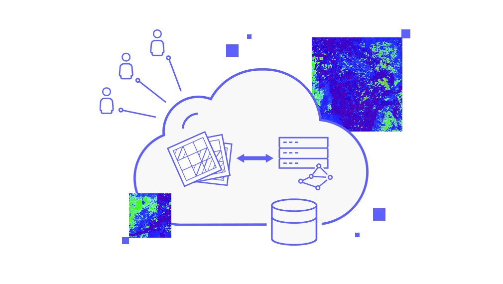
Storage was not an issue – a cloud solution was introduced to efficiently handle the large volume of imagery generated from the project. The challenge lay in processing a substantial dataset of 2 terabytes per month, comprising approximately 15,000 1km² tiles with pixels of 5-7cm GSD (Ground Sampling Distance).
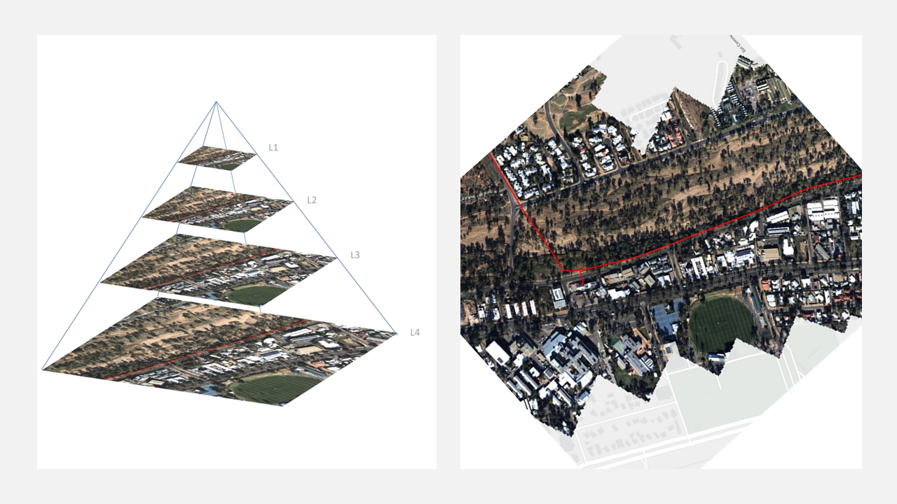
Due to the very large number of tiles received each month, simply looking at the images would not provide efficient or accurate analysis. A web mapping service needed to be created for each month’s imagery so that end user simply adds a layer to access the latest capture.
The original approach to processing and serving out the imagery at APA would take several days to complete. With Esri’s help, APA’s imagery processing scripts received a recent revamp to now take advantage of the new Esri Analysis Engine. This overhaul has significantly reduced the turnaround time (and associated cloud processing costs) from several days down to less than one.

“The introduction of Imagery Management services to APA was the perfect solution for the issue APA were faced with on how to store, management and serve around 1,000’s of kilometres of high-resolution imagery captured over pipeline corridors every month. The ArcGIS Image Dedicated cloud-based product, combined with processing and performance support from Esri Australia experts, means that the APA GIS team can easily manage the ever-expanding library of imagery without having specialised database and programming skills which would have been required for alternate solutions.
Remote Sensing Specialist, APA Group
Benefits of image analysis
With the ability to accurately monitor its extensive pipeline network, APA was able to deliver new detailed imagery every month, covering the entire pipeline network with enhanced zoom capabilities for in-depth analysis.

Using ArcGIS Image Dedicated, APA have been able to build a robust long-term repository of over two and half years of services which provides better insight into the network than commercial imagery services. Backed by location intelligence, this initiative enhances infrastructure asset monitoring, and sets a new benchmark for efficiency, responsiveness and operational oversight in the energy infrastructure sector.
Download the one-page case study and request a demo to learn more.
Using ArcGIS Image Dedicated to serve out APA's imagery as Dynamic Services for consumption by web apps and traditional desktop software has been a very robust solution for APA, plus being Esri based, it offers a large number of geoprocessing tools and functions that GIS users are already familiar with which allows for more advanced analysis of APA's 4 Band imagery."
Remote Sensing Specialist, APA Group


