Intelligent water management begins with GIS.
Manage your complete water cycle with digital solutions that increase efficiency and provide insights for decision-makers.


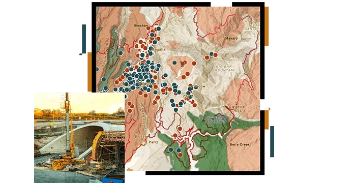
Implement workflows that optimise water management profitability. Analyse projects and facilitate the sharing of asset information with stakeholders, enabling informed planning and effective resource allocation.
Transforms water operations and delivery with user-friendly ArcGIS apps that enhance team collaboration and decision-making. These tools offer real-time operational views for office and field staff, ensuring efficient responses.
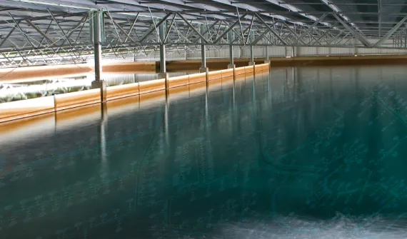
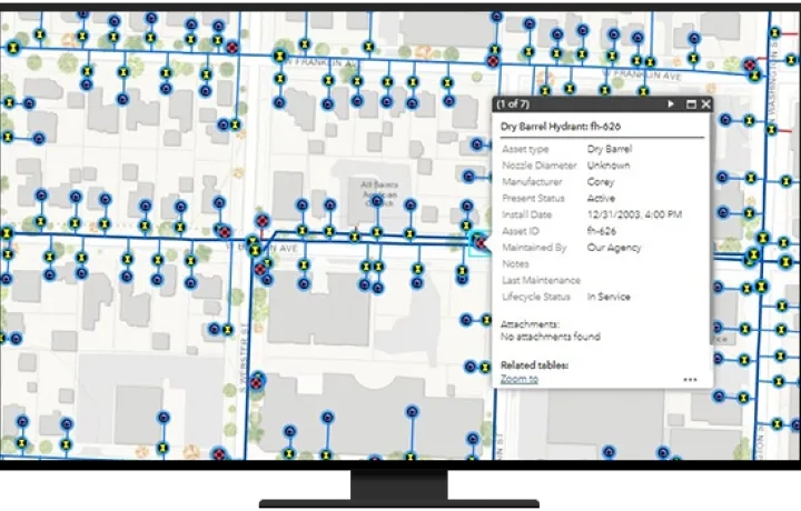
Collect data, track water assets, and monitor infrastructure performance. GIS maintains historical records for efficient facilities management and maintenance, reducing downtime and enhancing service delivery.
Provide and share vital information with customer service teams and the public to enhance satisfaction. Use intuitive maps and apps for real-time data promoting transparency and understanding.
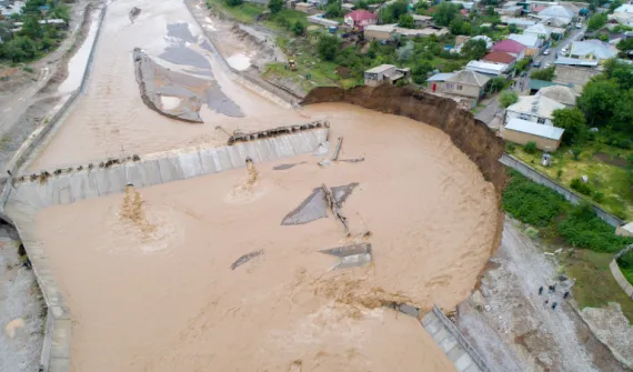
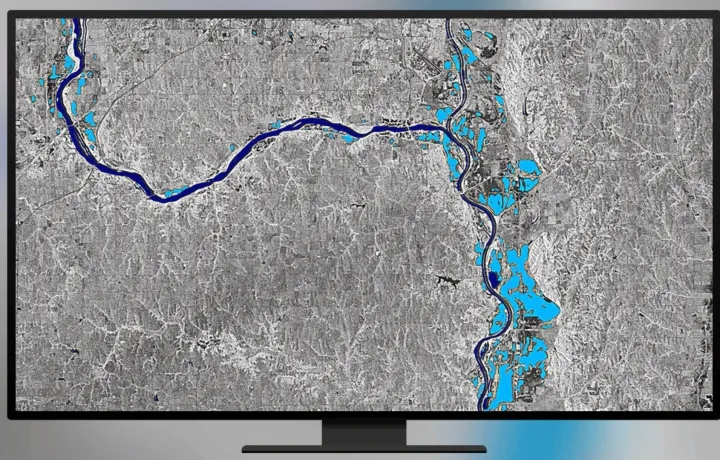
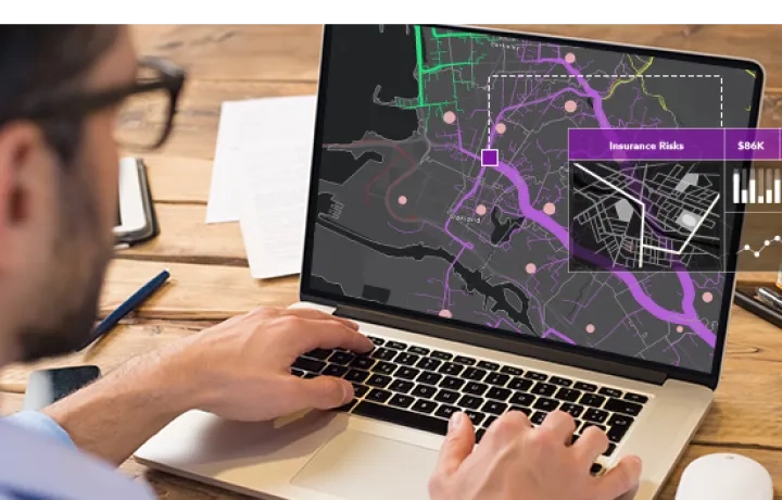
Visualise environmental impacts, monitor water quality, and assess pollution levels. Analysing spatial patterns helps identify issues and ensures compliance with regulations, promoting sustainable water management.
How to leverage GIS in water utilities
Our intelligent, water-focused GIS solutions provide valuable insights for water utilities in planning, operations, asset management, and health and safety—ensuring security, sustainability, and lasting community value.
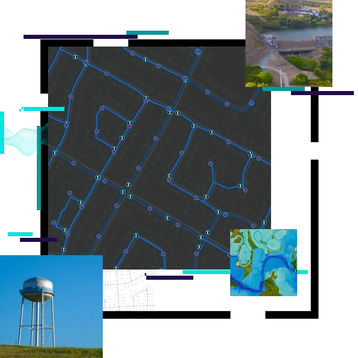
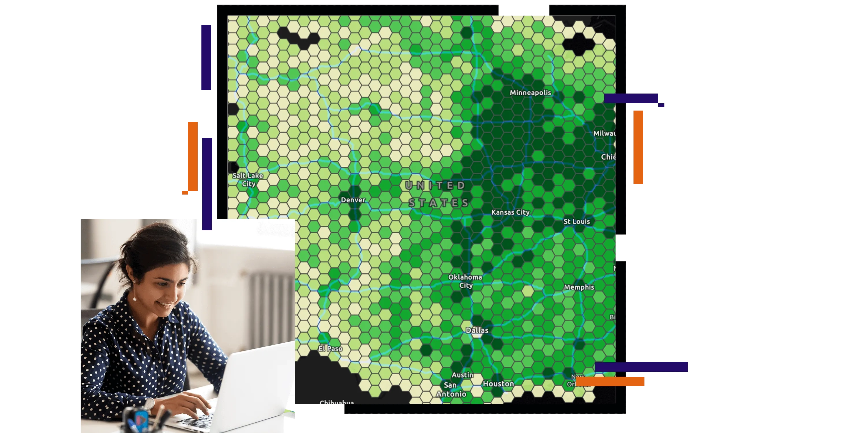
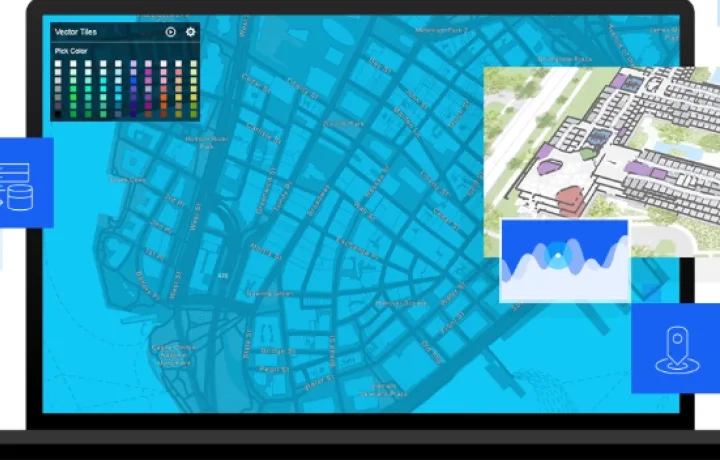
Water management with imagery & remote sensing
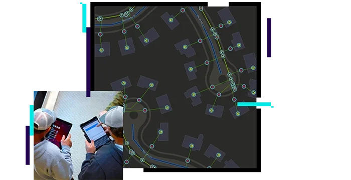
A next-generation spatial information system to modernise network management.
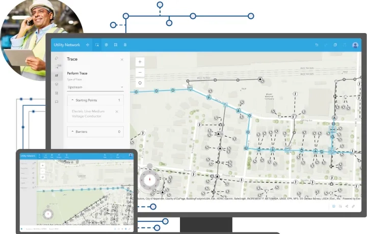
Water Utility Network foundation
Manage your infrastructure with the most advanced network information model.
Asset management: IBM Maximo integration
Manage assets, equipment, schedule work, and predict problems before they happen. Seamlessly integrate ArcGIS with your Asset Management Systems.
APAC Utilities Community of Practice
Calling expression of interest to join the APAC Utilities Community Practice - where fellow GIS enthusiasts engage in knowledge-sharing sessions to keep you updated on the latest GIS applications specifically designed for the utilities sector.
Your application will be reviewed prior joining this group.

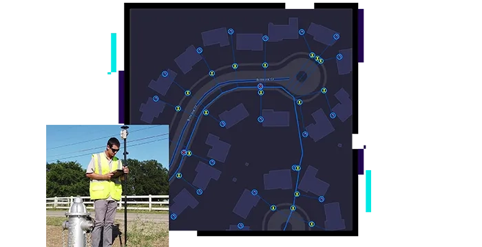
Field data management
Map water distribution assets, collect and edit field data, view system maps in the field and office.
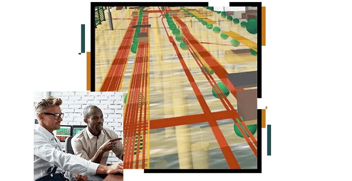
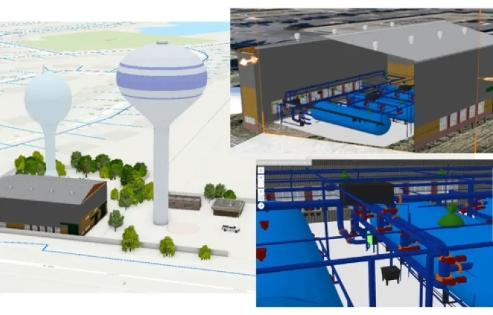
Digital twin
Create a virtual representation of the water networks, asset and infrastructure for better context and business decisions.
Real-time monitoring
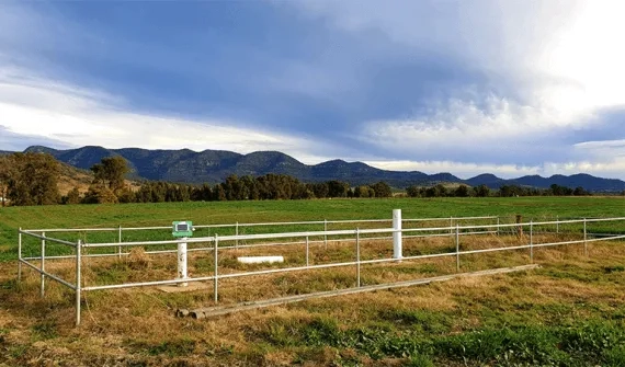
Gain situational awareness from your streaming data whether you are tracking moving assets or stationary sensors.
Geovonic Connect
An easy-to-use ArcGIS widget allowing users to retrieve information from your business systems inside ArcGIS.