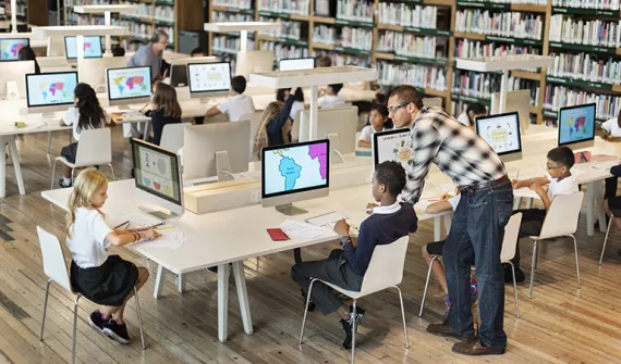
Showcase your geospatial storytelling skills
Bring your ideas to life through maps, data, and storytelling. This is your opportunity to showcase how geospatial technology can help explain real-world issues and inspire change.
This year, Esri Australia, RMIT, and GTAV have partnered to launch a StoryMaps competition for Victorian schools, focused on creativity, innovation, and impactful data visualisation.
We’re inviting students under 18 to create an ArcGIS StoryMap that explores a theme of migration and/or climate. Use GIS tools and data to tell a compelling, meaningful story that connects people, place, and environment.
- Entries are open to all schools in Victoria.
- Individual entries are encouraged (joint entries of two students permitted).
- Submissions will be reviewed by a panel of expert guest judges.
- Entries close 20 July 2026.
- The winning entry will be recognised at the RMIT Geospatial Awards Dinner on 21 August 2026.
Submissions are now closed
New to StoryMaps?
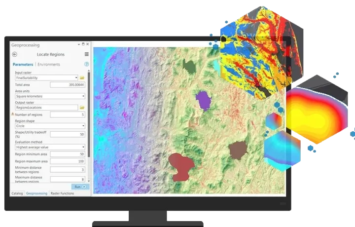
StoryMaps is a powerful and creative platform that combines maps, text, images, and multimedia into one interactive experience. Think of it as a blend of a presentation, report, and digital story, all in one place.
It can be used to present assignments, showcase fieldwork, and explore real-world issues in an engaging and visual way.

By the end of this video you will be able to understand the tools of StoryMaps and create your first story.
Feel free to log in and follow along on your own device.
If you prefer a PDF version here is a StoryMap on how to create a StoryMap
Inspiration Corner
Here are some amazing examples of StoryMaps to inspire and guide you on your journey.

Additional Resources

For more information, contact our Education Team.
Collaborators