
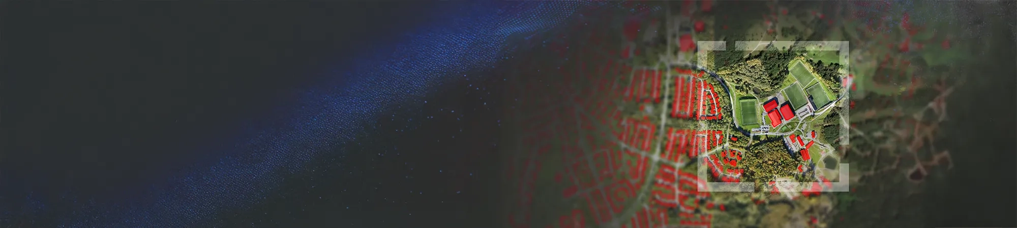
Geospatial AI brings artificial intelligence and location intelligence together in ArcGIS. It helps organisations automate spatial analysis, anticipate change and make faster, better-informed decisions about the assets, infrastructure, networks, services and environments they manage.
What is Geospatial AI?
Geospatial AI applies artificial intelligence to geospatial data to increase understanding and solve problems connected to location. It can extract and classify information from imagery, video, point clouds and text, detect spatial patterns, predict outcomes, and forecast how conditions may change across locations and over time.
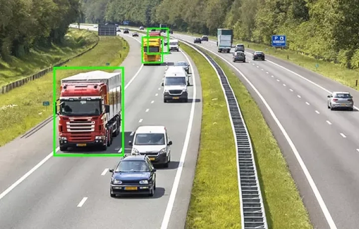
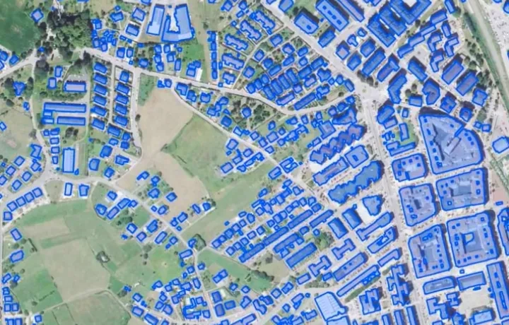
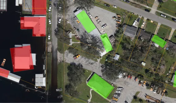
Within geospatial AI, GeoAI capabilities use machine learning and deep learning to analyse spatial data, for example, identifying objects in imagery, classifying land cover or detecting change.
ArcGIS brings these capabilities into established mapping and spatial analysis workflows through machine learning, deep learning and pretrained models.
How Geospatial AI creates value
Across government, infrastructure, utilities, transport, natural resources and other operational environments, Geospatial AI helps teams turn growing volumes of data into timely, actionable intelligence.

Anticipate risk and change
Detect emerging risks, reveal change and model potential outcomes using predictive spatial analysis.

Improve operational visibility
Bring imagery, sensors, asset data and location intelligence together to understand what is happening and where.

Accelerate decision-making
Transform complex data into maps, dashboards and insights that help teams prioritise action.
Scale intelligence across the organisation
Automate repeatable workflows and make advanced spatial analysis more accessible across teams and operations.
Geospatial AI inside ArcGIS
ArcGIS provides an enterprise geospatial platform for applying artificial intelligence to spatial data and operational workflows. Organisations can use GeoAI to automate data generation, reveal patterns, make predictions and turn spatial insights into action.
Automate data generation - Use deep learning to extract, classify and detect information from imagery, video, point clouds, text and other structured or unstructured data.
Analyse patterns and predict outcomes - Apply machine learning and spatial algorithms to detect patterns, classify change, predict outcomes and forecast what may happen across space and time.
Operationalise intelligence at scale - Integrate geospatial data, models, analysis and business systems so GeoAI-supported insights can inform operational workflows.
Apply GeoAI responsibly at scale - Use enterprise security, governance and human oversight to deploy trusted GeoAI capabilities across teams and workflows.
From AI pilots to operational value
Moving AI from experimentation into operational use takes more than a successful model. Organisations need a clear business problem, trusted data, responsible governance and measurable outcomes.
Discover five questions leaders should ask before scaling AI across geospatial operations.
Ready to create value with Geospatial AI?
Our specialists can help you identify practical GeoAI opportunities, assess your data and governance readiness, and prioritise use cases aligned with your operational goals.
Frequently asked questions about Geospatial AI
- What is Geospatial AI?
Geospatial artificial intelligence combines AI with geospatial data, science and technology to solve spatial problems. It can automate the extraction and classification of information, reveal patterns, detect change, make predictions and forecast outcomes using location-based data.
- Is Geospatial AI the same as GeoAI?
Yes. GeoAI is the commonly used abbreviation for geospatial artificial intelligence. In ArcGIS, it includes AI techniques applied to geospatial data and spatially explicit AI methods designed to solve spatial problems.
- What types of data can Geospatial AI analyse?
Geospatial AI can work with imagery, video, point clouds, text, feature and tabular data, sensor feeds, environmental information, operational records and time-series data. The appropriate data and method depend on the problem being solved.
- How does Geospatial AI work in ArcGIS?
ArcGIS combines spatial analysis with machine learning and deep learning tools. Teams can use these capabilities to extract information, classify features, detect objects and change, analyse spatial patterns, make predictions and present results through maps, apps, and dashboards.
- How can Geospatial AI support operational decision-making?
Geospatial AI can help teams detect emerging conditions, predict risk or demand, automate analysis and prioritise work by location. Connecting outputs to geospatial workflows makes it easier to understand where action is needed, why it matters and what should happen next.