

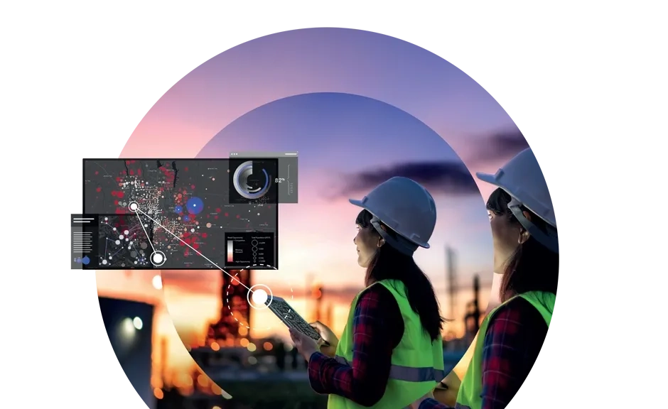
Most organisations already have access to imagery. The challenge is turning it into trusted, useable information that supports more informed decision making.
Without a clear strategy, imagery can quickly become difficult to manage. Data may be outdated, hard to access, inconsistently interpreted or disconnected from everyday workflows. This creates risk, slows decisions, and limits the value of what should be a powerful operational asset.
By combining advanced imagery analysis with the power of Esri ArcGIS Pro and underpinning it with a clear strategy, your data becomes more reliable, accessible, and ready to support decisions.
Transform your operations with Esri Australia
Whether you’re optimising infrastructure, monitoring the environment, or improving asset management, see how an imagery and remote sensing strategy can turn risk into reward for your organisation.
Reduce the risk of disconnected data
We help you organise, store, and share imagery through scalable services so your teams can access what they need, when they need it.
Discover the value of a single, accessible source of truth for imagery across your organisation with Esri Australia.
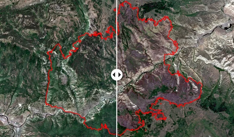
Reduce the risk of overlooked information
We can help you support faster, more informed decisions and classify data with confidence, so your teams spend less time searching and more time delivering impact.
Discover the value of optimising search and discovery capabilities across large imagery collections with Esri Australia.
Reduce the risk of missing critical insight from your imagery
We help you move beyond visualisation and unlock the capability to identify patterns, detect change, and extract meaningful information.
Discover the value of translating spatial data into reliable, decision-ready information, with Esri Australia.
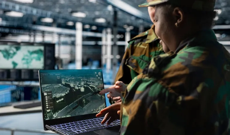
Reduce the risk of slow and inconsistent workflows
We help you streamline and automate imagery workflows, from processing to analysis. With a more structured approach, your organisation can scale operations without increasing manual effort or complexity.
Discover the power of automation and GeoAI in processing large volumes of imagery quickly and consistently, with Esri Australia.
From imagery to insights
See how Esri Australia's imagery solutions empower organisations to turn satellite imagery, aerial imagery, drone imagery, and other forms of geospatial imagery into actionable insights.

Capture
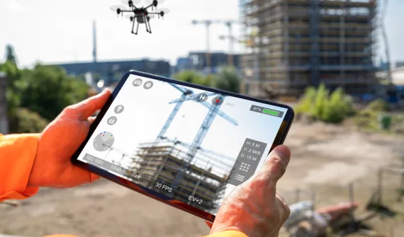
Data is collected using satellites, drones, aerial sensors and crewed aircraft capturing more imagery than ever. These technologies work across multiple wavelengths - visible light, hyperspectral, and multispectral imaging - to provide a detailed view of the Earth's surface beyond the human line of sight.

Processing
Raw data is refined through geometric corrections, calibration, and enhancement processes. Methods like photogrammetry and Light Detection and Ranging (LiDAR) mapping ensure high precision and accuracy, producing actionable datasets that meet your specific requirements.

Analysis
Processed data is analysed using GIS and spatial analysis tools. Applications include monitoring vegetation health, planning urban development, managing natural disasters, and conducting environmental impact assessments. Deliverables range from detailed 2D maps to 3D models and digital twins.

Integration
The insights gained are seamlessly integrated into GIS platforms (like ArcGIS), enabling you to visualise spatial relationships, track changes over time, and make real-time, data-backed decisions. With imagery and GIS combined in a geospatial technology system, you can unpack more information from every pixel.
Talk to an imagery specialist today to see how we can help transform your operations.
Want to learn more about our imagery and remote sensing solutions?
See what's possible with imagery and ArcGIS.
Imagery and Remote Sensing FAQs
- What is reality mapping, and how does it benefit various industries?
Reality mapping uses advanced geospatial technologies like satellite imagery, drone mapping, and Light Detection and Ranging (LiDAR) to create accurate, real-time visualisations of infrastructure and surrounding environments. This technology helps monitor performance, identify potential risks, and plan maintenance and expansions with greater precision. With real-time insights, your team can respond faster and more effectively to emerging challenges.
- How can Esri’s remote sensing tools help with risk management?
Esri’s remote sensing solutions use high-resolution satellite imagery, LiDAR, and drone data to monitor various environmental factors and pinpoint risk-prone areas. These tools allow for real-time mapping and predictive modelling, helping organisations proactively manage risks and reduce damage from extreme events. You can get ahead of potential disasters and mitigate impacts before they occur.
- What types of assets can Esri’s technology monitor?
Esri’s reality mapping technology can monitor a wide range of assets, including infrastructure, land, and environmental features. By providing detailed visualisations and data on the condition of these assets, you can schedule maintenance more efficiently, avoid unplanned outages, and ensure optimal performance across your entire network.
- How can I use Esri’s solutions to track environmental quality?
Esri’s drone and satellite technology can be used to monitor environmental quality by detecting contaminants, measuring clarity, and tracking changes over time. This data is crucial for regulatory compliance and helps ensure the delivery of safe and clean environments.
- What is LiDAR, and why is it important for various industries?
LiDAR (Light Detection and Ranging) is a remote sensing technology that uses laser light to create highly accurate 3D models of terrain and infrastructure. For various industries, LiDAR is invaluable for infrastructure planning, risk assessment, and detecting topographical changes that could impact resources.
- How does Esri’s technology help with regulatory compliance?
Esri’s tools provide real-time data and reporting that can help organisations meet local and national regulatory requirements. From tracking environmental quality to monitoring impacts, you’ll have access to the data needed to prove compliance and prepare for audits
- Can Esri’s solutions help with long-term infrastructure planning?
Yes. Esri’s reality mapping technology provides the insights you need to plan for future infrastructure upgrades and expansions. With precise data on existing assets and environmental conditions, you can make informed decisions that optimise performance, reduce costs, and ensure scalability.
- How quickly can I implement Esri’s Imagery & Remote Sensing solutions?
Esri’s solutions are designed to be scalable and flexible, meaning they can be integrated with your existing systems quickly and efficiently. Our team of experts will work with you to ensure a seamless deployment tailored to your specific needs.