Spatial intelligence is essential for Australia’s critical networks
Across Australia, government, infrastructure and commercial organisations face a new operating reality: ageing assets, climate‑driven events, rapid population growth and rising expectations for reliability and service. Yet many networks still rely on fragmented data and disconnected systems, slowing response times, complicating coordination, and making it hard to anticipate what’s next.
Spatial intelligence changes this. By unifying geographic information, real‑time feeds and analytics in a single system of spatial record, organisations see what is happening, where it’s occurring and why it matters enabling faster, more confident decisions in the moments that count.
How ArcGIS unifies data, systems and teams to enable smarter decision making across infrastructure:

Realtime monitoring
Reduce downtime and respond faster to disruptions with live visibility of assets, crews and events such as storms, floods and fires.

Spatial analytics
Reveal patterns, forecast risk and optimise decisions using integrated operational, sensor and business data.

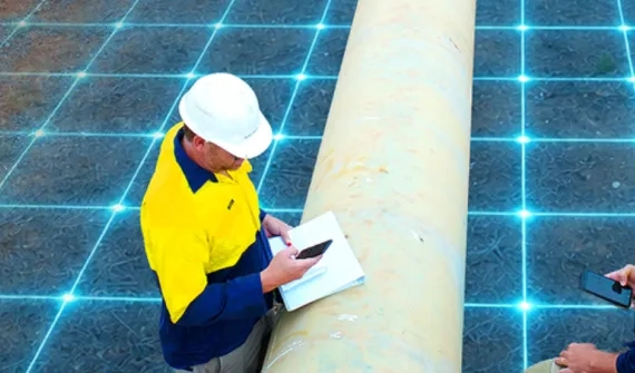
Field operations
Modernise field workflows with mobile tools that connect teams directly to an authoritative network model.

Smart network modelling
Plan, design and manage infrastructure using integrated BIM–GIS workflows for more sustainable and resilient assets.

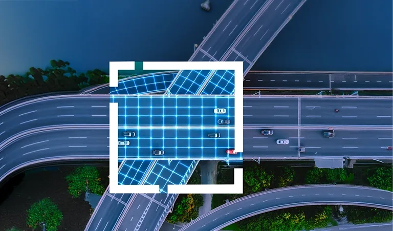
3D GIS
Visualise overhead and underground networks in context to improve safety, compliance and stakeholder communication.

Imagery & remote sensing
Use drone, aerial, lidar and satellite imagery for rapid assessment, change detection and digital twins.

ESG & compliance reporting
Track and communicate sustainability performance, climate risk and community impact spatially.

Operations & integration
Build a connected “system of systems” that unifies asset locations, enterprise systems, IoT feeds and partner applications.
This is important for
Government organisations
Spatial intelligence supports:
- Cross agency coordination and data sharing
- Disaster preparedness and response
- Capital works planning and prioritisation
- Transparency, engagement and public trust
Governments can move from reactive response to proactive, place-based decision making.

Infrastructure and utilities
For infrastructure owners and operators, spatial intelligence enables:
- Asset lifecycle and network resilience
- Outage readiness and faster response times
- Field workforce efficiency and safety
- Climate risk modelling and demand forecasting
It provides the foundation for modern, digitally enabled networks.
Commercial organisations
Logistics, mining and largescale asset operators use spatial intelligence to:
- Improve operational visibility across sites and supply chains
- Explore scenarios using digital twins
- Strengthen safety, compliance and ESG reporting
- Coordinate stakeholders around shared information

THOUGHT LEADERSHIP
Download your free paper
Get instant access to the Get future-ready with spatial intelligence paper and discover how tailored GIS strategies, expert guidance, and industry best‑practice frameworks can help transform your infrastructure into safe, resilient, AI‑enabled networks of the future.
Frequently asked questions
- What is spatial intelligence used for?
Spatial intelligence is used to connect assets, data and people through location - improving operational awareness, planning, risk management and decision making.
- How is spatial intelligence different from GIS?
GIS is a core component of spatial intelligence, but spatial intelligence extends beyond mapping to include real time data, analytics, AI and integration across systems.
- Who benefits most from spatial intelligence?
Government agencies, infrastructure and utilities, ports, logistics operators and organisations managing large, complex networks.
- How does this relate to digital twins and AI?
Digital twins and geospatial AI are key capabilities within spatial intelligence, enabling scenario modelling, prediction and faster insight.