You are here News & Events News News Search news Search by year All 2026 2025 2024 2023 2022 2021 2020 2019 2018 2017 2016 2015 2014 2013 2012 2011 Tags - Any - #Cross River Rail 3D About GIS ABS AEC AFAC22 Agile Agribusiness Agriculture Analytics Application development Apps AppStudio ArcGIS ArcGIS 10.5 ArcGIS 10.6 ArcGIS dashboards ArcGIS Enterprise ArcGIS Enterprise upgrade ArcGIS Hub ArcGIS Indoors ArcGIS Online ArcGIS Pro Artificial intelligence Asset management Augmented reality Australian Bureau of Statistics Australian bushfire Australian GIS Hall of Fame Autodesk Banking BI Big Data Big Data Analytics BIM Border Patrol Brian Boulmay Business Business Intelligence Cadastre California Coastline Citizen engagement Climate Change Cloud Cloud computing Cloud GIS collaboration Collector Commercial Commercial property Community Construction Content Coronavirus Council COVID-19 COVID-19 vaccine Crisis Crowdsourcing Data Data analytics Data transformation Data visualisation Data-driven decisions DBYD Deep learning Defence and intelligence Dekho Department of Defence Design Dial Before you Dig Digital transformation Digital twin Disability Services disaster management Disaster resilience Disruptive apps DNRME drone mapping Drones Earth observations Education eLearning Election Electorate Electric Electricity Emergency management Emergency response Emergency services Energy Energy Queensland Energy, oil, gas and renewables Engineering Enterprise advantage program Enterprise GIS ENVI Environmental management Environmental science Esri Esri Australia Esri Petroleum Conference Esri UC Esri Utility Network Model Esri Young Scholar Award Esri Young Scholars Award Events Federal government Field data collection Financial institutions Financial services flood Food security Forestry Forrester Gas GDA2020 GDA94 Geo hub GeoAI GeoAnalytics Geographic datum Geographic Information Systems Geoscience Australia Geospatial Analytics Geospatial excellence award GIS GIS Day GIS for schools GIS Hall of Fame Awards GIS manager GIS server software GIS Services GIS technology GIS Training GIS web services Government Health Health and human services Higher education Homeland Security Icon Water IDL Imagery Impact Awards Indoor navigation Infrastructure Innovation Insights for ArcGIS Insurance Insurance and Banking Interactive maps Internet of Things Internship Interoperability IoT Jack Dangermond JavaScript Land Administration Land management Laura Dangermond Law enforcement Live data Live sensors Local government Locate22 Location intelligence Location-based analytics Logistics Machine learning Managed services Mapping and charting Maps Marine science Maritime Media Microsoft Azure Mining Mining exploration Mobile Mobile applications Mobile GIS National development National Security Not for profit OH&S Oil Open data Open platform Operational awareness Oz Minerals Ozri Partnership Petroleum Planning Plantation Ports Predictive analysis Products Public safety Public sector Public works Queensland Globe Raster data Real-time analytics Recovery Remote sensing Resilient communities Resources Retail ROI SaaS Safe communities SAG Awards SAP SAR Imagery SARscape Satellite imagery Sensors Services overview Situational awareness Smart cities Smart communities smart government Smart transport SmarterWX Solar eclipse Spatial data infrastructure solutions Speculative design Startups State government StateStat Story maps Supply chain management Survey123 Sustainability Sustainable development technical debt Telco Telecommunications Training Transformation Transport Transport analytics Transport and Infrastructure Transportation Trimble UI Unearthed Challenge United Nations Universities Unmanned Aerial Vehicles Urban analytics Urban planning User experience User interface User research Utilities Utility network UX UXG Vaccine distribution vegetation management Virtual reality Water Waterfall Web GIS WGS84 White paper WHO Esri Australia and UDC partner to help Australian utilities modernise with confidence Esri Australia and UDC are helping utilities improve data readiness, reduce delivery risk and modernise with confidence through a combination of ArcGIS expertise, utility transformation services and deep industry experience. Learn more ICEYE and Esri Australia partner to deliver unprecedented hazard intelligence ICEYE and Esri Australia partner to deliver real-time flood and bushfire intelligence as ready-to-use map layers within ArcGIS. This integration empowers organisations to act faster and with confidence during natural disasters. Learn more Sphere and Esri Australia partner to automate drone-to-cloud workflows Sphere and Esri Australia have entered a strategic partnership to integrate Site Scan for ArcGIS® with Sphere’s HubX and HubT systems, establishing a fully automated workflow, moving drone data seamlessly from capture to processing to delivery across industries in Australia. Learn more News See Victoria in 3D Discover how Victoria’s Department of Transportation and Planning is using 3D web apps and spatial technology to streamline city planning, improve efficiency, and make better decisions. Learn more News Innovating efficient and green construction with GIS Discover how ACCIONA leverages ArcGIS online to transform engineering projects, cutting cost, boosting collaboration, and accelerating the shift to a low-carbon future. Learn more News Austroads and Esri Australia partner for smarter transport solutions Austroads partners with Esri Australia to enhance geospatial capabilities, leveraging telematics data for smarter, more efficient road and transport management across Australia and New Zealand. Learn more News Cutting-edge GIS applications celebrated gloablly Visionary GIS applications created by two innovative Australian companies were recognised at the 44th Esri User conference, highlighting their contribution to the engineering, design, construction and rail freight sectors. Learn more News Making the City of Sydney even cooler Increasing tree canopy and green cover to reduce the impacts of rising urban temperatures, with spatial analytics. Learn more Spatial digital twin: Building the NSW smart state Learn more National Situation Room keeping Australians safe from crisis Learn more GIS ambassador recognised for contribution to STEM industries Learn more Celebrating innovation in GIS application Learn more Award-winning Queensland innovation showcased on world stage Energy Queensland, owner of Australia's largest electricity distribution network showcased their award-winning Unified GIS (UGIS) project to an estimated global audience of 70,000 spatial industry professionals at the opening of the 42nd annual Esri User Conference. Learn more Student storyteller recognised on the world stage Learn more Re-awakening Indigenous place names in West Wyalong Learn more NextGen digital damage prevention Learn more AIHW wins global tech award for mapping vital mental health data Learn more Mapping croc sightings across north Queensland Learn more Critical technology infrastructure for COVID-19 vaccine distribution Learn more SA interactive map shares groundwater contamination data Learn more Load More
Esri Australia and UDC partner to help Australian utilities modernise with confidence Esri Australia and UDC are helping utilities improve data readiness, reduce delivery risk and modernise with confidence through a combination of ArcGIS expertise, utility transformation services and deep industry experience. Learn more
ICEYE and Esri Australia partner to deliver unprecedented hazard intelligence ICEYE and Esri Australia partner to deliver real-time flood and bushfire intelligence as ready-to-use map layers within ArcGIS. This integration empowers organisations to act faster and with confidence during natural disasters. Learn more
Sphere and Esri Australia partner to automate drone-to-cloud workflows Sphere and Esri Australia have entered a strategic partnership to integrate Site Scan for ArcGIS® with Sphere’s HubX and HubT systems, establishing a fully automated workflow, moving drone data seamlessly from capture to processing to delivery across industries in Australia. Learn more
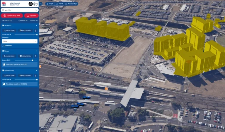
News See Victoria in 3D Discover how Victoria’s Department of Transportation and Planning is using 3D web apps and spatial technology to streamline city planning, improve efficiency, and make better decisions. Learn more
News Innovating efficient and green construction with GIS Discover how ACCIONA leverages ArcGIS online to transform engineering projects, cutting cost, boosting collaboration, and accelerating the shift to a low-carbon future. Learn more
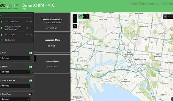
News Austroads and Esri Australia partner for smarter transport solutions Austroads partners with Esri Australia to enhance geospatial capabilities, leveraging telematics data for smarter, more efficient road and transport management across Australia and New Zealand. Learn more
News Cutting-edge GIS applications celebrated gloablly Visionary GIS applications created by two innovative Australian companies were recognised at the 44th Esri User conference, highlighting their contribution to the engineering, design, construction and rail freight sectors. Learn more
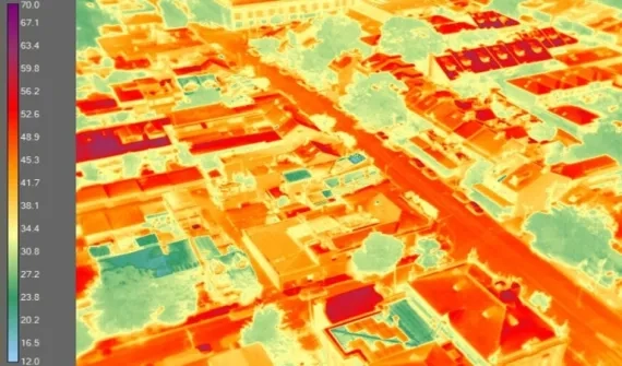
News Making the City of Sydney even cooler Increasing tree canopy and green cover to reduce the impacts of rising urban temperatures, with spatial analytics. Learn more
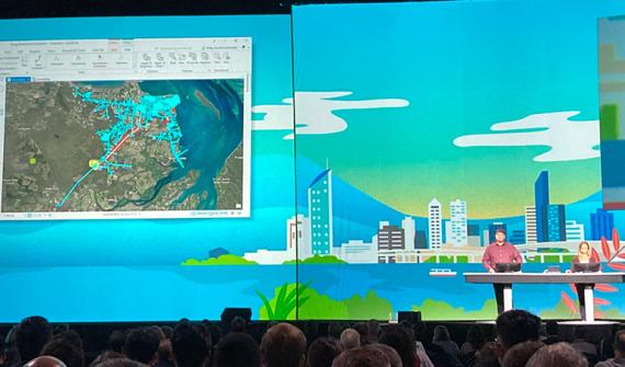
Award-winning Queensland innovation showcased on world stage Energy Queensland, owner of Australia's largest electricity distribution network showcased their award-winning Unified GIS (UGIS) project to an estimated global audience of 70,000 spatial industry professionals at the opening of the 42nd annual Esri User Conference. Learn more