You are here News & Events Blogs Esri Australia blog Esri Australia blog AllEsri techData-driven decisionsDigital transformationDisruptive innovationGIS in Education Data-driven decisions How mapping technology can help catch killers Mike King outlines how investigators can use Geographic Information System (GIS) technology to combine location-based data, public information and suspect profiling data, to help catch killers. Learn more Data-driven decisions Combatting drug-related deaths with GIS US authorities are using location intelligence to report drug activity, educate the community, promote treatment options and understand the effectiveness of response activities. Learn more Data-driven decisions How mapping technology is helping solve crimes Emergency services expert Mike King shares how one US law enforcement agency used real-time GIS applications to manage the search of a large-scale crime scene in a missing persons case. Learn more Data-driven decisions GIS and data science: two sides of the same coin If data scientists analyse data to uncover insights that help improve bottom lines, then what have GIS professionals been doing for years? Learn more Data-driven decisions Drones in agriculture - how to get started Getting the best results from drones on a farm depends on the desired outcomes and the type of sensors mounted on the drone. Before starting, it pays to find answers to the most common questions about using drones and satellite imagery in agriculture. Learn more Digital transformation The modern land parcel solution future-proofing South Australia's cadastre South Australia's Land Boundaries Group shares how an out-of-the-box technology solution has boosted their land parcel management productivity by up to 80%. Learn more Digital transformation Top 5 mining geospatial tech trends A new wave of automation is improving worker safety, raising productivity, and reducing operational costs in Australia's mining operations. See how advanced geospatial technology is helping organisations improve efficiencies at all levels organisation-wide. Learn more Data-driven decisions Students use GIS to track cattle movements A new program has launched in Australia where students use GIS technology to track herd movement and work with emerging agri-tech to bridge the digital divide. Learn more Data-driven decisions Virtual Reality for smart cities and urban planning Virtual Reality (VR) is transforming the way citizens and city administrators interact with new developments, through the unique perspective of 3D models that show what the eye cannot see. Learn more Data-driven decisions Cleaning the Gulf of Mexico using GIS The clean-up efforts following the Deepwater Horizon oil spill is an example of how GIS technology can be used to assist in disaster response. Learn more Data-driven decisions Geoscience Australia releases MH370 search data Story Map The search for Malaysia Airlines flight MH370 mapped more than 700,000 square kilometres of seafloor. Data from phase one of the search is now available to the public through an interactive Story Map. Learn more Disruptive innovation Enterprise GIS data meets Augmented Reality Augmented Reality (AR) adds even more detailed visualisation to maps and data. Find out how to bring your Enterprise GIS data into AR apps to supplement real-world views. Learn more Digital transformation Next-generation emergency response Public safety team lead, Patrick Bell explains why getting resources out into the field is key to greater cost-savings and reducing response times. Learn more Data-driven decisions Improving public safety with GIS-enabled emergency response GIS technology is providing predictive capabilities for handling natural disaster response and recovery. Learn how the Queensland Fire and Emergency Service uses GIS to improve its coordination of emergency response across the state. Learn more Data-driven decisions Find out where Australia imports its food from Does Australia get more meat from New Zealand or the Netherlands? This interactive map shows you where we import our food from, so you can make more informed decisions relating to what ends up on your plate. Learn more
Data-driven decisions How mapping technology can help catch killers Mike King outlines how investigators can use Geographic Information System (GIS) technology to combine location-based data, public information and suspect profiling data, to help catch killers. Learn more
Data-driven decisions Combatting drug-related deaths with GIS US authorities are using location intelligence to report drug activity, educate the community, promote treatment options and understand the effectiveness of response activities. Learn more
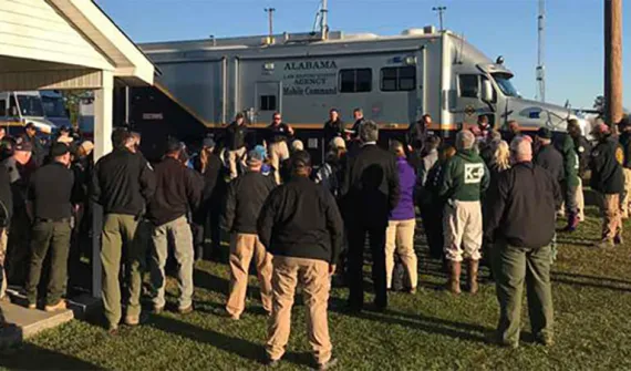
Data-driven decisions How mapping technology is helping solve crimes Emergency services expert Mike King shares how one US law enforcement agency used real-time GIS applications to manage the search of a large-scale crime scene in a missing persons case. Learn more
Data-driven decisions GIS and data science: two sides of the same coin If data scientists analyse data to uncover insights that help improve bottom lines, then what have GIS professionals been doing for years? Learn more
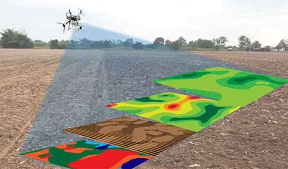
Data-driven decisions Drones in agriculture - how to get started Getting the best results from drones on a farm depends on the desired outcomes and the type of sensors mounted on the drone. Before starting, it pays to find answers to the most common questions about using drones and satellite imagery in agriculture. Learn more
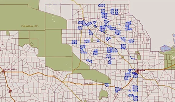
Digital transformation The modern land parcel solution future-proofing South Australia's cadastre South Australia's Land Boundaries Group shares how an out-of-the-box technology solution has boosted their land parcel management productivity by up to 80%. Learn more
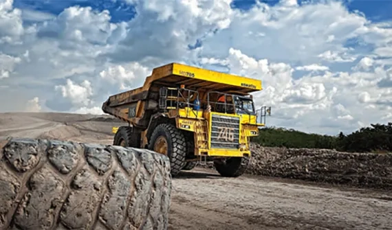
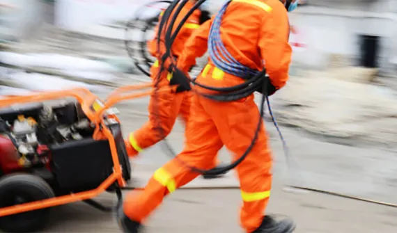
Digital transformation Top 5 mining geospatial tech trends A new wave of automation is improving worker safety, raising productivity, and reducing operational costs in Australia's mining operations. See how advanced geospatial technology is helping organisations improve efficiencies at all levels organisation-wide. Learn more
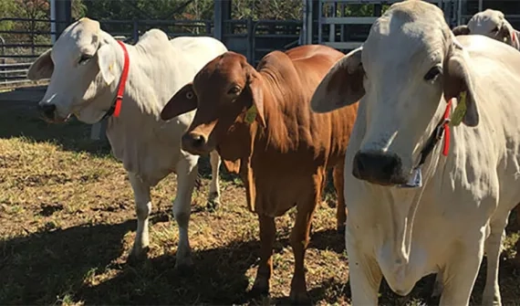
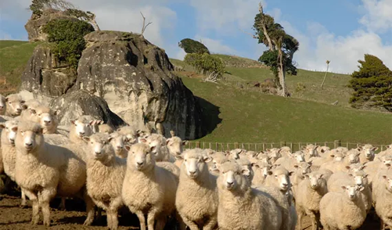
Data-driven decisions Students use GIS to track cattle movements A new program has launched in Australia where students use GIS technology to track herd movement and work with emerging agri-tech to bridge the digital divide. Learn more
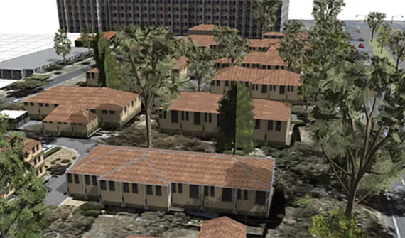
Data-driven decisions Virtual Reality for smart cities and urban planning Virtual Reality (VR) is transforming the way citizens and city administrators interact with new developments, through the unique perspective of 3D models that show what the eye cannot see. Learn more
Data-driven decisions Cleaning the Gulf of Mexico using GIS The clean-up efforts following the Deepwater Horizon oil spill is an example of how GIS technology can be used to assist in disaster response. Learn more
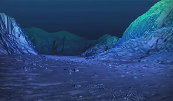
Data-driven decisions Geoscience Australia releases MH370 search data Story Map The search for Malaysia Airlines flight MH370 mapped more than 700,000 square kilometres of seafloor. Data from phase one of the search is now available to the public through an interactive Story Map. Learn more
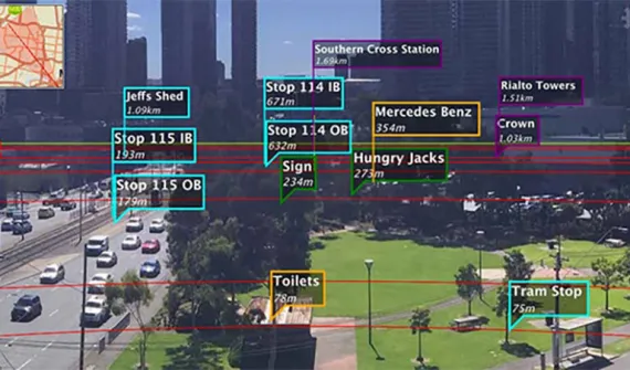
Disruptive innovation Enterprise GIS data meets Augmented Reality Augmented Reality (AR) adds even more detailed visualisation to maps and data. Find out how to bring your Enterprise GIS data into AR apps to supplement real-world views. Learn more
Digital transformation Next-generation emergency response Public safety team lead, Patrick Bell explains why getting resources out into the field is key to greater cost-savings and reducing response times. Learn more
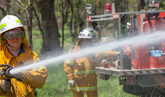
Data-driven decisions Improving public safety with GIS-enabled emergency response GIS technology is providing predictive capabilities for handling natural disaster response and recovery. Learn how the Queensland Fire and Emergency Service uses GIS to improve its coordination of emergency response across the state. Learn more
Data-driven decisions Find out where Australia imports its food from Does Australia get more meat from New Zealand or the Netherlands? This interactive map shows you where we import our food from, so you can make more informed decisions relating to what ends up on your plate. Learn more