You are here News & Events Blogs Esri Australia blog Esri Australia blog AllEsri techData-driven decisionsDigital transformationDisruptive innovationGIS in Education Disruptive innovation Enterprise GIS data meets Augmented Reality Augmented Reality (AR) adds even more detailed visualisation to maps and data. Find out how to bring your Enterprise GIS data into AR apps to supplement real-world views. Learn more Digital transformation Next-generation emergency response Public safety team lead, Patrick Bell explains why getting resources out into the field is key to greater cost-savings and reducing response times. Learn more Data-driven decisions Improving public safety with GIS-enabled emergency response GIS technology is providing predictive capabilities for handling natural disaster response and recovery. Learn how the Queensland Fire and Emergency Service uses GIS to improve its coordination of emergency response across the state. Learn more Data-driven decisions Find out where Australia imports its food from Does Australia get more meat from New Zealand or the Netherlands? This interactive map shows you where we import our food from, so you can make more informed decisions relating to what ends up on your plate. Learn more
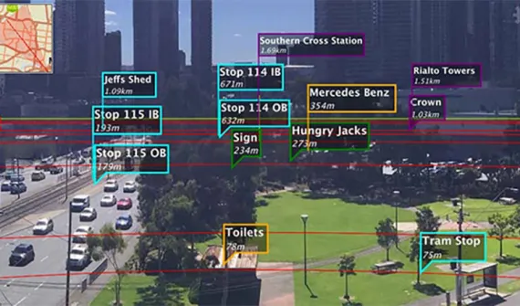
Disruptive innovation Enterprise GIS data meets Augmented Reality Augmented Reality (AR) adds even more detailed visualisation to maps and data. Find out how to bring your Enterprise GIS data into AR apps to supplement real-world views. Learn more
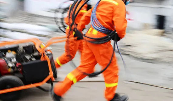
Digital transformation Next-generation emergency response Public safety team lead, Patrick Bell explains why getting resources out into the field is key to greater cost-savings and reducing response times. Learn more
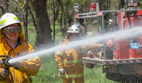
Data-driven decisions Improving public safety with GIS-enabled emergency response GIS technology is providing predictive capabilities for handling natural disaster response and recovery. Learn how the Queensland Fire and Emergency Service uses GIS to improve its coordination of emergency response across the state. Learn more
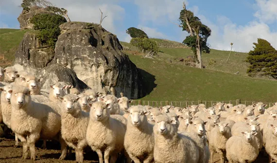
Data-driven decisions Find out where Australia imports its food from Does Australia get more meat from New Zealand or the Netherlands? This interactive map shows you where we import our food from, so you can make more informed decisions relating to what ends up on your plate. Learn more