
Future-ready organisations do more than connect systems. They connect data, people and decisions using location to turn enterprise information into a shared view of what is happening, what could happen next and where to act. Because confident decisions - not simply connected technology - are what build future-ready networks.
The next network challenge is not a lack of data
Across government, infrastructure, telecommunications and commercial organisations, leaders are being asked to improve services, strengthen resilience and lift operational efficiency while managing ageing assets, constrained resources and growing expectations. Most organisations already have extensive data and powerful technology. The problem is that the information needed for a decision often sits across different systems, teams and projects. Many already bring business and operational data together through cloud, analytics and productivity platforms. What is often missing is the connective dimension of location: the ability to relate that information to specific assets, incidents, customers, communities and environmental conditions.
A dashboard may show performance. An asset system may show condition. A field report may reveal an emerging issue. Customer, environmental and supply chain data may add another part of the picture. Viewed separately, each source is useful. But executives and operational teams still must assemble the full story, often when time matters most.
Future-ready networks depend on a connected view of this complexity. They give decision-makers a reliable way to understand how assets, people, services and place interact, so the organisation can move from fragmented information to coordinated action.
Location turns enterprise data into decision context
Location is one of the few dimensions shared across almost every operational network. Assets exist somewhere. Services support communities and customers. Incidents affect defined areas. Demand, risk and opportunity vary from place to place.
Spatial intelligence brings those relationships together. It adds the 'where' to enterprise data, making it easier to see patterns that are difficult to identify in rows, reports or disconnected applications. The result is not simply another map. It is a common operational picture that helps leaders and teams understand what is happening, where it is happening, who or what is affected and what action should come next.
This context becomes even more important as organisations invest in AI. AI can process large volumes of information and surface actionable insights, but it becomes genuinely useful for operational decisions when grounded in trusted enterprise and spatial data. Authoritative ArcGIS content, combined with enterprise governance, identity and access controls, can help organisations apply AI to real operational questions with greater confidence, not simply run isolated experiments.
Why Esri and Microsoft are stronger together
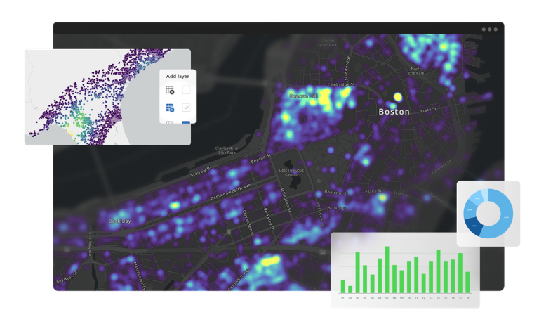
Esri and Microsoft have collaborated for nearly four decades, with the partnership continuing to evolve across cloud, data, analytics, AI and productivity technologies.
For many Australian organisations, Microsoft provides an established enterprise environment for cloud, data, analytics, productivity and AI. ArcGIS provides the spatial intelligence that connects this enterprise information to the real-world networks, assets, communities and environments it represents.
Together, ArcGIS and Microsoft technologies can extend the environments organisations already use rather than creating another disconnected platform. Spatial intelligence can be incorporated into familiar analytics, collaboration and productivity workflows, while trusted enterprise and spatial data can provide a stronger foundation for AI and automation.
This creates value at two levels. Technology leaders can build on existing investments, identity frameworks and governance arrangements. Business and operational leaders can access richer decision context without needing to become GIS specialists. In this way, the geographic approach becomes an enterprise capability, connecting specialist spatial expertise with the people responsible for planning, operating and improving the network.
From insight to action, in the flow of work
Better decisions rarely depend on a single application. They depend on how information moves between people and systems. An analyst may identify a pattern, an operations manager may assess its impact, the field team may respond, and an executive may need confidence that the response aligns with wider priorities.
When ArcGIS and Microsoft technologies work together, maps, analytics and real-time insights can become part of that flow. For example, a live ArcGIS view of network condition could appear within a Power BI report used by an executive, be shared with an operations team coordinating its response, and provide analysts with access to the underlying information for further investigation. Each role works with the same trusted spatial context, without needing to move between disconnected systems.
The aim is not to give every employee a complex geospatial system. It is to make the right location intelligence available to the right person, in a form that supports the decision in front of them.
Five characteristics of a future-ready organisation
There is no single technology blueprint for becoming future-ready. However, by combining spatial intelligence with established enterprise technology, organisations can develop five connected capabilities:
- Connected enterprise data. ArcGIS connects operational, business and spatial information through location, while integration with existing enterprise environments helps organisations build on, not dismantle, the technology they already use.
- AI-ready operations. Authoritative ArcGIS content brings real-world location and relationships into AI workflows, supported by enterprise identity, governance and permission-aware access.
- Real-time operational visibility. Live spatial information can surface through the reporting and operational tools decision-makers already use, helping them identify changing conditions and emerging risks early enough to respond.
- Collaboration and resilience. Shared spatial context gives business, operational and specialist teams a common view of the situation, helping them coordinate when conditions change.
- Faster, more confident decisions. Connected enterprise and spatial information helps leaders compare priorities, understand consequences and move more quickly from insight to operational action.
These capabilities reinforce one another. Connected data creates context. Context supports more useful analytics and AI. Timely insight improves coordination. And coordinated action builds trust in the organisation's ability to adapt.
One connected approach, different network priorities
The underlying challenge is shared across sectors: organisations need to bring enterprise and spatial information together within trusted, usable workflows. How that capability is applied depends on the decisions each sector needs to make.
- Government: Combining authoritative spatial information with secure enterprise data and AI services can help agencies move promising pilots into governed operations that improve services and community outcomes. Explore how spatial intelligence can help government move from AI pilots to AI-ready operations.
- Infrastructure: Connecting ArcGIS with enterprise, project and operational systems can help organisations evolve static models into living digital twins that support decisions across the asset lifecycle. Discover how living digital twins can support smarter infrastructure decisions.
- Telecommunications: Bringing network data, enterprise analytics and live spatial context together can help providers anticipate disruption, coordinate response and strengthen service resilience. Find out how to build resilient telecommunications networks.
- Commercial organisations: Integrating ArcGIS with customer, operational and supply chain systems can reveal patterns, risks and opportunities that are difficult to see when information remains isolated. Learn how integration and interoperability can connect spatial intelligence with the systems that run your business.
Across each sector, the opportunity is to use ArcGIS and Microsoft investments more effectively: extending trusted spatial intelligence into more workflows and helping people move faster from enterprise data and AI insight to operational action.
Confident decisions build future-ready networks
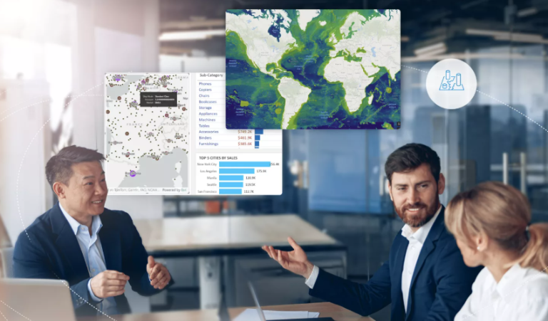
A future-ready network is not defined by the number of systems, dashboards or AI pilots an organisation has deployed. It is defined by how effectively people can use trusted information to understand change, make decisions and act together.
By combining ArcGIS spatial intelligence with Microsoft's enterprise technologies, organisations can use their existing investments more effectively, extend trusted location-based insight into everyday workflows and move faster from enterprise data and AI insight to operational action. That is how technology investments become operational capability and how complex networks become easier to understand, manage and improve.
Ready to explore what's possible? Book a 1:1 strategy session with Esri Australia and Microsoft experts to identify where spatial intelligence can accelerate your cloud, data and AI priorities.