You are here News & Events Blogs Esri Australia blog Esri Australia blog AllEsri techData-driven decisionsDigital transformationDisruptive innovationGIS in Education Data-driven decisions Strengthening Australia’s disaster response capabilities GIS technology has been at the heart of some of the most challenging response and reconstruction efforts globally. Demonstrating its benefit in numerous emergency situations in Australia and around the world. Learn more Data-driven decisions Satellite imagery and the search for MH370 debris When the Malaysian Airlines flight MH370 was determined by authorities to have crashed into the ocean the same question was asked repeatedly: could satellites help find the crash site? Learn more Data-driven decisions The role of 3D data in emergency response The use of three-dimensional (3D) data, combined with other spatial data may hold the key to the future of emergency calls - but are Australian authorities harnessing its full potential? Learn more Data-driven decisions How mapping technology can help catch killers Mike King outlines how investigators can use Geographic Information System (GIS) technology to combine location-based data, public information and suspect profiling data, to help catch killers. Learn more Data-driven decisions Combatting drug-related deaths with GIS US authorities are using location intelligence to report drug activity, educate the community, promote treatment options and understand the effectiveness of response activities. Learn more Data-driven decisions How mapping technology is helping solve crimes Emergency services expert Mike King shares how one US law enforcement agency used real-time GIS applications to manage the search of a large-scale crime scene in a missing persons case. Learn more Data-driven decisions Cleaning the Gulf of Mexico using GIS The clean-up efforts following the Deepwater Horizon oil spill is an example of how GIS technology can be used to assist in disaster response. Learn more Digital transformation Next-generation emergency response Public safety team lead, Patrick Bell explains why getting resources out into the field is key to greater cost-savings and reducing response times. Learn more Data-driven decisions Improving public safety with GIS-enabled emergency response GIS technology is providing predictive capabilities for handling natural disaster response and recovery. Learn how the Queensland Fire and Emergency Service uses GIS to improve its coordination of emergency response across the state. Learn more
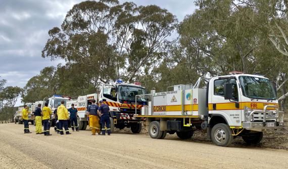
Data-driven decisions Strengthening Australia’s disaster response capabilities GIS technology has been at the heart of some of the most challenging response and reconstruction efforts globally. Demonstrating its benefit in numerous emergency situations in Australia and around the world. Learn more
Data-driven decisions Satellite imagery and the search for MH370 debris When the Malaysian Airlines flight MH370 was determined by authorities to have crashed into the ocean the same question was asked repeatedly: could satellites help find the crash site? Learn more
Data-driven decisions The role of 3D data in emergency response The use of three-dimensional (3D) data, combined with other spatial data may hold the key to the future of emergency calls - but are Australian authorities harnessing its full potential? Learn more
Data-driven decisions How mapping technology can help catch killers Mike King outlines how investigators can use Geographic Information System (GIS) technology to combine location-based data, public information and suspect profiling data, to help catch killers. Learn more
Data-driven decisions Combatting drug-related deaths with GIS US authorities are using location intelligence to report drug activity, educate the community, promote treatment options and understand the effectiveness of response activities. Learn more
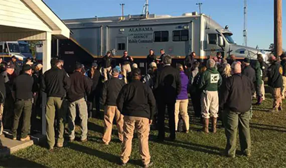
Data-driven decisions How mapping technology is helping solve crimes Emergency services expert Mike King shares how one US law enforcement agency used real-time GIS applications to manage the search of a large-scale crime scene in a missing persons case. Learn more
Data-driven decisions Cleaning the Gulf of Mexico using GIS The clean-up efforts following the Deepwater Horizon oil spill is an example of how GIS technology can be used to assist in disaster response. Learn more
Digital transformation Next-generation emergency response Public safety team lead, Patrick Bell explains why getting resources out into the field is key to greater cost-savings and reducing response times. Learn more
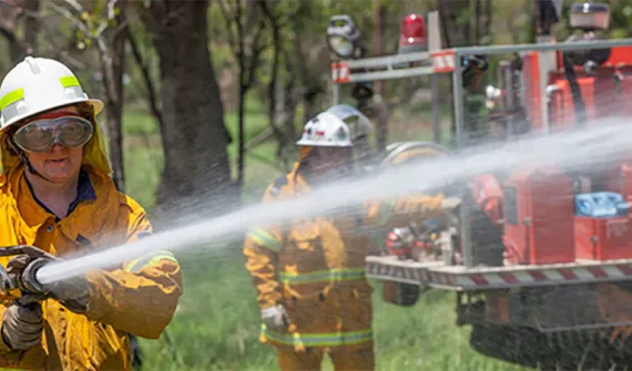
Data-driven decisions Improving public safety with GIS-enabled emergency response GIS technology is providing predictive capabilities for handling natural disaster response and recovery. Learn how the Queensland Fire and Emergency Service uses GIS to improve its coordination of emergency response across the state. Learn more