You are here News & Events Blogs Esri Australia blog Esri Australia blog AllEsri techData-driven decisionsDigital transformationDisruptive innovationGIS in Education Data-driven decisions GIS and data science: two sides of the same coin If data scientists analyse data to uncover insights that help improve bottom lines, then what have GIS professionals been doing for years? Learn more Data-driven decisions Students use GIS to track cattle movements A new program has launched in Australia where students use GIS technology to track herd movement and work with emerging agri-tech to bridge the digital divide. Learn more Data-driven decisions Geoscience Australia releases MH370 search data Story Map The search for Malaysia Airlines flight MH370 mapped more than 700,000 square kilometres of seafloor. Data from phase one of the search is now available to the public through an interactive Story Map. Learn more
Data-driven decisions GIS and data science: two sides of the same coin If data scientists analyse data to uncover insights that help improve bottom lines, then what have GIS professionals been doing for years? Learn more
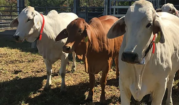
Data-driven decisions Students use GIS to track cattle movements A new program has launched in Australia where students use GIS technology to track herd movement and work with emerging agri-tech to bridge the digital divide. Learn more
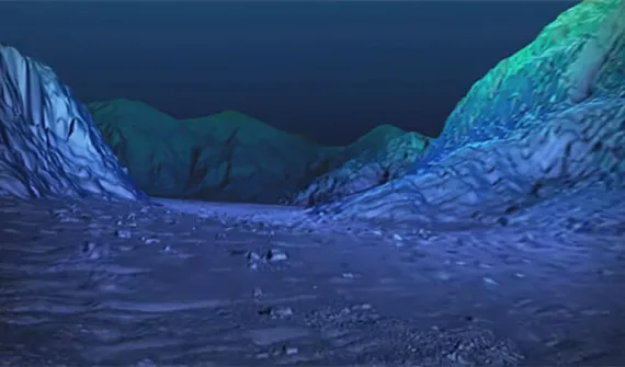
Data-driven decisions Geoscience Australia releases MH370 search data Story Map The search for Malaysia Airlines flight MH370 mapped more than 700,000 square kilometres of seafloor. Data from phase one of the search is now available to the public through an interactive Story Map. Learn more