
Queensland’s critical minerals sector is entering a pivotal phase. The 2026/27 Queensland Budget places critical minerals at the centre of the state’s energy and resources agenda, with targeted investment designed to accelerate extraction, processing and export, strengthen local value chains and support strategically important projects across the state. For Queensland, the opportunity is not only to supply the minerals needed for modern infrastructure, defence, advanced manufacturing and the energy transition, it is to build a more coordinated, resilient and globally competitive critical minerals industry.
Securing the nation’s mineral future
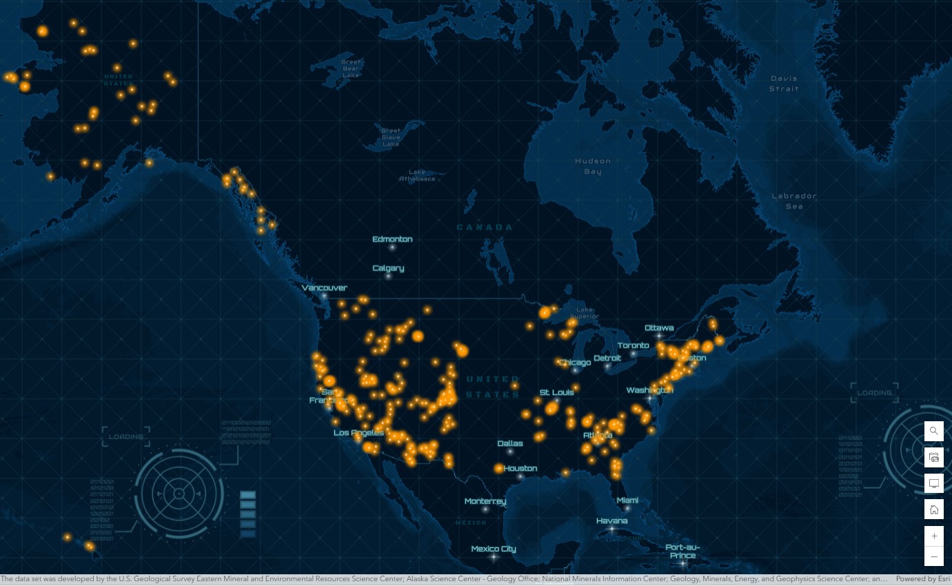
As global power consumption accelerates, demand is growing rapidly for the minerals that enable modern infrastructure, technology and defence systems. Materials such as lithium, nickel, copper, cobalt and rare earth elements are essential to everything from power grids and vehicles to semiconductors and advanced electronics.
Queensland has a significant opportunity to strengthen its role in the critical minerals value chain, from exploration and extraction through to processing, logistics, advanced manufacturing and export. The state’s critical minerals agenda is supported by dedicated investment, regional development priorities and a focus on building the infrastructure and supply chains required to bring strategically important projects online.
Meeting this challenge requires an integrated approach, one that connects geoscience, environmental data, infrastructure and logistics into a single operational picture. Geographic information systems, or GIS, provide that foundation. With ArcGIS technology, mining professionals, policy makers and researchers can use location intelligence to accelerate discovery, streamline permitting and strengthen the entire critical minerals value chain.
Smarter exploration through GeoAI
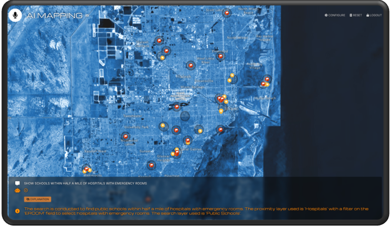
The path to mineral security begins with discovery. Traditional exploration relies on geophysical surveys, geochemical sampling and field observations, but integrating these datasets across vast regions can be slow and complex.
ArcGIS Pro brings these layers together into a unified spatial environment where geoscientists can visualise, analyse and model mineral potential.
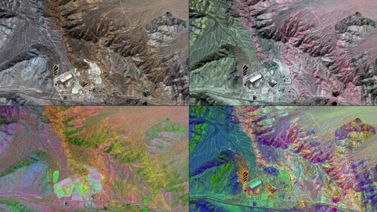
Advanced tools such as ArcGIS Image for ArcGIS Online and ArcGIS Notebooks enable machine learning workflows that leverage GeoAI to identify subtle geological patterns in remote sensing and geophysical data. These predictive models help exploration teams focus resources where they matter most, reducing both cost and environmental footprint.
Cloud-based sharing through ArcGIS Online or ArcGIS Enterprise keeps exploration data and maps accessible across organisations. Integration with the Open Subsurface Data Universe, or OSDU, supports standards-based collaboration for regional and national exploration initiatives.
Permitting and transparency
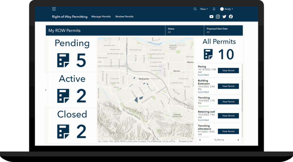
As projects advance from exploration to development, spatial insight becomes essential for responsible permitting and stakeholder communication. Regulators and communities need clear visibility into how proposed operations intersect with ecological, social and infrastructure considerations.
With ArcGIS Dashboards and ArcGIS Experience Builder, organisations can overlay mine designs with sensitive habitats, water resources and transportation networks to visualise the broader context of a project.
Through ArcGIS StoryMaps, teams can communicate project intent, mitigation strategies and monitoring results in a narrative format that fosters transparency and trust.
This map-based approach simplifies the permitting process, supports informed decision-making, and improves collaboration between operators, regulators, and communities.
Mapping critical minerals supply chains
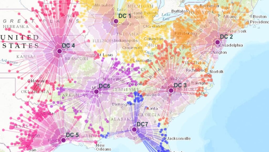
Critical minerals security depends on more than what comes out of the ground. Processing plants, refineries, transportation routes and manufacturing hubs form an interconnected network that underpins long-term resilience.
For organisations managing the exploration, transport, or processing of critical minerals, GIS is a powerful ally. By integrating data from field sensors, mobile devices and the Internet of Things, or (IoT), with a foundational ArcGIS platform, GIS delivers real-time visibility of materials in transit and spatial intelligence that improves planning, logistics, and supply chain efficiency.
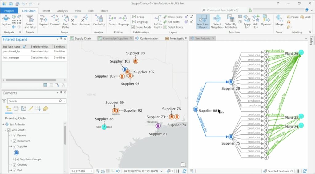
ArcGIS Business Analyst and ArcGIS Knowledge enable policy makers and planners to map this network, identify chokepoints and analyse dependencies such as power availability, workforce distribution and logistics access.
ArcGIS Network Analyst tools simulate supply routes, evaluate infrastructure capacity and assess risks from natural disasters or geopolitical disruptions. These insights guide strategic investment in new processing capacity and infrastructure modernisation.
As new mineral corridors, processing facilities and export pathways develop, GIS provides the analytical foundation for coordinating industry, infrastructure and policy priorities.
Monitoring, reclamation, and circular economy
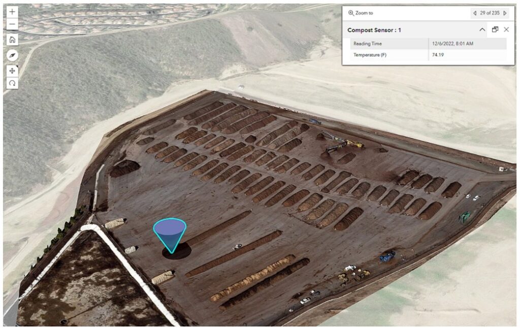
Every stage of mining generates data that can be used to improve efficiency and sustainability. During operations, ArcGIS Velocity connects IoT sensors, drone imagery and satellite feeds to support real-time monitoring of tailings facilities, haul roads and environmental indicators.
When mines approach closure, field teams equipped with ArcGIS Field Maps and Survey123 can document reclamation progress with high-accuracy GNSS data. Managers track performance in centralised dashboards, ensuring long-term environmental compliance and accountability.
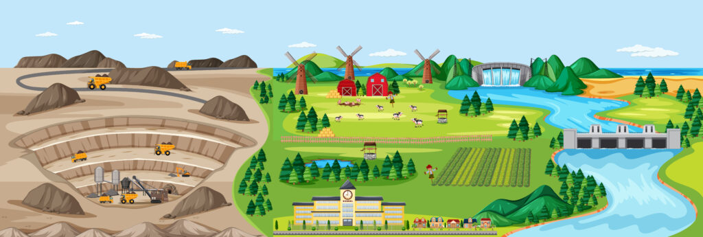
GIS also supports the growing circular economy by mapping opportunities to recover critical minerals from waste streams, legacy mine sites and industrial by-products. This spatial insight helps extend resource life, reduce import dependency and promote responsible materials management.
Accelerating the mission through collaboration
The scale of the critical minerals mission requires collaboration between government, research institutions, industry and regional communities. GIS provides the digital framework that connects these stakeholders through shared spatial intelligence.
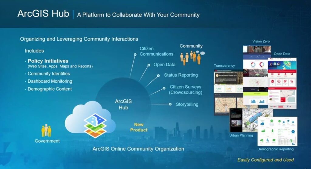
ArcGIS Hub allows agencies to share open data and policy maps with the public, while enterprise portals support coordination of regional mineral assessments, infrastructure planning and stakeholder engagement.
Mining companies can contribute anonymised exploration data to shared databases, helping build a collective understanding of Queensland’s resource potential and enabling smarter, faster decision-making across the sector.
A sustainable, data-driven future
Building a secure supply of critical minerals is not only a technical challenge, it is a spatial one. Every question of where to explore, where to build and how to operate responsibly is ultimately a question of geography.
Esri’s ArcGIS system empowers mining professionals, policy makers and investors to make these decisions with clarity and confidence. By combining analytics, monitoring and communication tools, GIS transforms how we discover, develop and manage the mineral resources that power modern life.
As Queensland advances its critical minerals ambitions, GIS can provide the spatial intelligence needed to connect exploration, approvals, infrastructure, processing, logistics and environmental management into one clearer operating picture. For Critical Minerals Queensland, location intelligence can help identify priority zones, assess infrastructure and supply-chain constraints, support stakeholder engagement, monitor environmental and community impacts, and guide investment decisions with greater confidence. With ArcGIS, Queensland’s critical minerals future can be planned, developed and managed with the clarity required to move from resource potential to long-term economic value.
Original author: Rebecca Kahrhoff
Adapted from: “Mapping the Future: How GIS Accelerates the Critical Minerals Mission”
Contact the team to learn how ArcGIS can support your critical minerals initiatives.