Esri Australia | Home

Main navigation Australia

  • Industries
    • Business
      • Agribusiness
      • Architecture, engineering and construction (AEC)
      • Banking
      • Commercial real estate
      • Electricity
      • Gas
      • Insurance
      • Logistics and freight
      • Mining
      • Petroleum and pipeline
      • Ports and maritime
      • Retail
      • Telecommunications
      • Water
    • Government
      • Climate action
      • Defence and intelligence
      • Emergency services
      • Federal government
      • Health
      • Land administration
      • Law enforcement
      • Local government
      • National security
      • State government
      • Transport
      • Waste management
    • Community
      • Schools
      • Higher education
      • Esri Young Scholar Award
      • StoryMaps Challenge 2026
      • Environmental management
      • Nonprofit organisations
      • Safe communities
      • Smart communities
  • Products
    • Capabilities
      • Digital twins
      • Geospatial AI
      • Field operations
      • Integrated Geospatial Infrastructure
      • Spatial analytics
      • Spatial intelligence
      • Imagery and remote sensing
    • About ArcGIS
      • ArcGIS Online
      • ArcGIS Pro
      • ArcGIS Enterprise
      • ArcGIS Developer
      • ArcGIS for Personal Use
      • ArcGIS Online credits
      • ArcGIS Online free trial
      • ArcGIS Pro free trial
      • See other Esri products
    • Applications
      • Apps for the Office
      • Apps for Field Operations
      • App Builders
      • Connect for ArcGIS
      • SmarterWX
    • GIS data
      • GIS datasets
      • Esri’s Open Vision
      • Open Data
  • Services & Support
    • Services
      • Advisory services
      • Managed services
      • Professional services
      • Enterprise advantage program
      • Configuration engineering
      • ArcGIS Enterprise upgrade
      • GDA2020 service packages
      • User Experience for GIS
      • Disaster Response Program
      • Learning and Services Units
    • Technical support
      • Esri Support App
      • Support programs
      • Support resources
      • ArcGIS Personal Use support
    • Training
      • Book your course
      • Course calendar
      • Learning Pathways
      • Capability Matrix
      • Submit a training enquiry
    • ArcGIS resources
      • A quick-start guide to ArcGIS Pro
      • Get started with Web GIS
      • ArcGIS user types
      • ArcGIS product licensing
      • ArcGIS Enterprise Web GIS
      • Customer Care Plan
  • News & Events
    • News
      • In the media
      • Australian maps
    • Events Calendar
      • Esri Australia Live
    • Blogs
      • Esri Australia blog
      • Technical blog
      • Subscribe to Esri Australia blog
    • Podcasts
      • GIS Directions podcast
      • Esri Podcast Network
      • Mapping Evil with Mike King
      • Subscribe to podcast alerts
  • About
    • About Esri Australia
      • Our people
      • Our partners
      • Our relationship with Esri
      • Our relationship with Boustead
      • Our GIS experts
      • Policies
    • About GIS technology
      • A history of GIS
      • Location intelligence
      • Location analytics
      • Big Data and GIS
    • Careers
      • Our values
      • Our people
      • Browse jobs
      • Join talent community
    • Contact us
      • Sales and services
      • Technical support
      • Training
      • Other questions
      • Digital subscriptions
  • Store

You are here

  • Home
  • Utilities

GIS in utilities

By super-charging business insights with a geographic component, Esri's mapping and analytics software can facilitate the digital transformation of utilities of all sizes. Discover how you can transition to intelligent utility networks: explore the resources below and register your interest to participate in a virtual forum.

Digital transformation for competitive utilities
Podcast Digital transformation for competitive utilities

Hear how successful utility, energy and mining companies use location analytics to drive growth and digital transformation, a crucial element in effective business strategy.

More
Mobile-mapping-saving-billions-of-litres-of-water - card
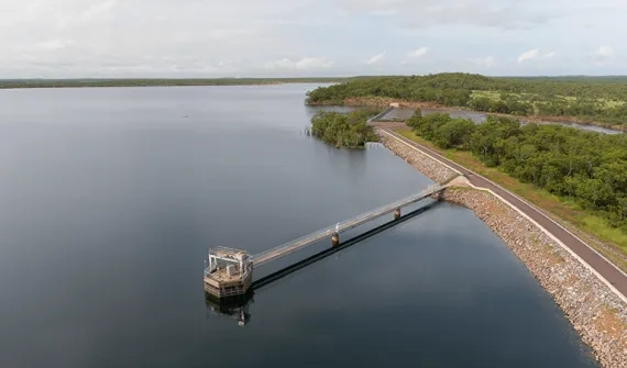
Case study Mobile mapping saving billions of litres of water

Find out how Power and Water Corporation use mobile mapping technology to identify leaks, monitor maintenance and cut costs by streamlining processes and saving water.

More
GIS for staff safety in isolated locations
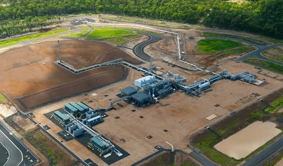
Case study GIS for staff safety in isolated locations

Queensland Gas Company applied a GIS solution to monitor the safety of staff across an area covering 33,000 square kilometres. Find out how they did it.

More
How-web-GIS-supports-water-utilities - card
White paper How web GIS supports water utilities

ArcGIS brings analytics to spatial data with pre-configured water utility solutions, flexible deployment options and easy-to-use-solutions accessible organisation-wide anytime, from any device.

More

For more information please contact us or call 1800 870 750.

Esri Australia | Home

Footer menu

  • Privacy
  • Sitemap
  • Website Terms and Conditions
  • Purchase Order terms
© 2026 Esri Australia All rights reserved. ABN 16 008 852 775