You are here News & Events Blogs Esri Australia blog Esri Australia blog AllEsri techData-driven decisionsDigital transformationDisruptive innovationGIS in Education Data-driven decisions Where Australia imports its food from: world map Next time you look at your plate, you might ask "where does my food come from?" Thanks to location-based analytics, you can search this world map to find out where Australia imports food from. Learn more Data-driven decisions Drones in agriculture - how to get started Getting the best results from drones on a farm depends on the desired outcomes and the type of sensors mounted on the drone. Before starting, it pays to find answers to the most common questions about using drones and satellite imagery in agriculture. Learn more Data-driven decisions Students use GIS to track cattle movements A new program has launched in Australia where students use GIS technology to track herd movement and work with emerging agri-tech to bridge the digital divide. Learn more Data-driven decisions Find out where Australia imports its food from Does Australia get more meat from New Zealand or the Netherlands? This interactive map shows you where we import our food from, so you can make more informed decisions relating to what ends up on your plate. Learn more
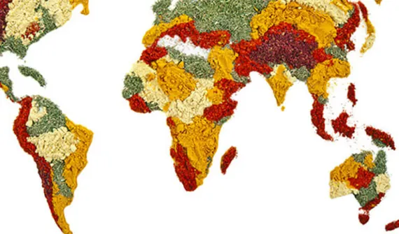
Data-driven decisions Where Australia imports its food from: world map Next time you look at your plate, you might ask "where does my food come from?" Thanks to location-based analytics, you can search this world map to find out where Australia imports food from. Learn more
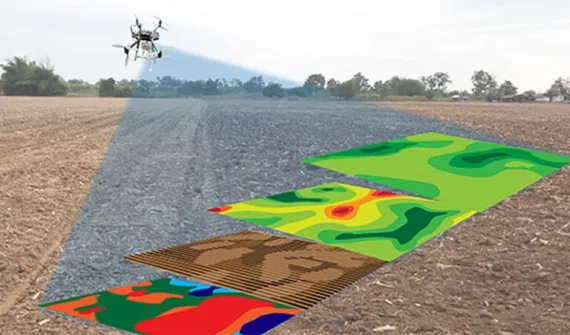
Data-driven decisions Drones in agriculture - how to get started Getting the best results from drones on a farm depends on the desired outcomes and the type of sensors mounted on the drone. Before starting, it pays to find answers to the most common questions about using drones and satellite imagery in agriculture. Learn more
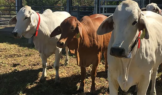
Data-driven decisions Students use GIS to track cattle movements A new program has launched in Australia where students use GIS technology to track herd movement and work with emerging agri-tech to bridge the digital divide. Learn more
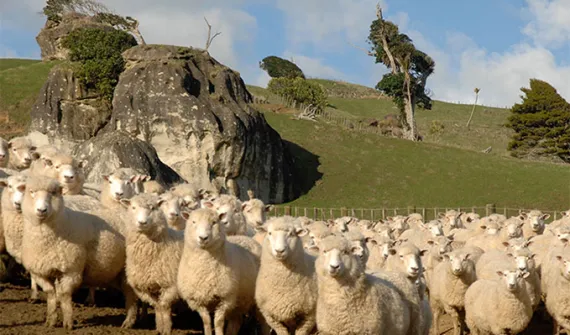
Data-driven decisions Find out where Australia imports its food from Does Australia get more meat from New Zealand or the Netherlands? This interactive map shows you where we import our food from, so you can make more informed decisions relating to what ends up on your plate. Learn more