Students across Southeast Queensland investigated sustainability challenges, from invasive species to environmental change, in their own communities as part of Esri Australia’s SDG GIS Challenge.
Building the next generation of GIS skills
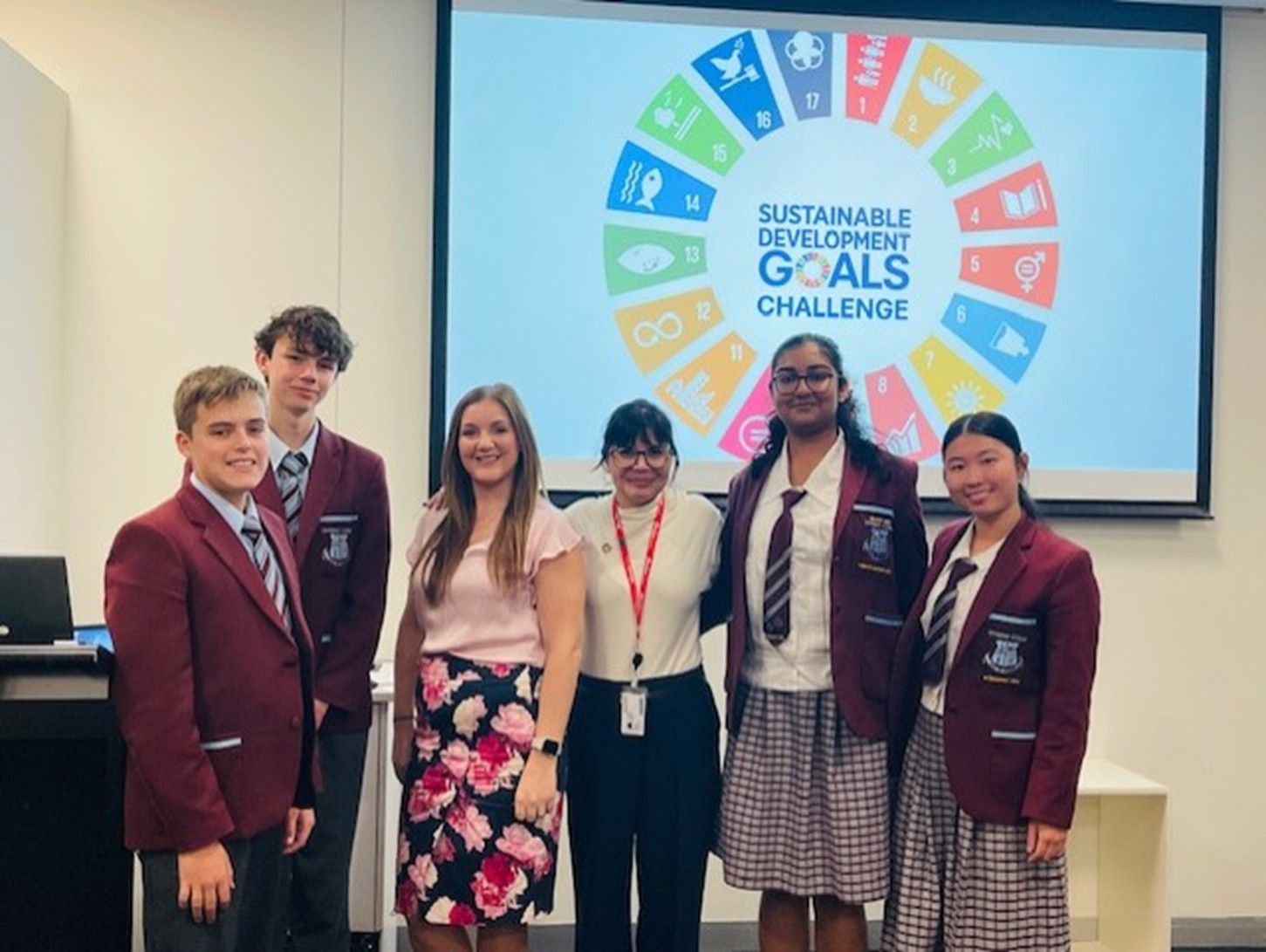
Based on the 17 global goals adopted by the United Nations in 2015, the Challenge invites students to explore sustainability through STEM and geospatial learning. Delivered by Esri Australia in partnership with Brisbane City Council and Griffith University, the SDG GIS Challenge supports students to build the skills needed to analyse, map, and respond to environmental issues using industry‑standard GIS tools.
Using the UN Sustainable Development Goals as a framework, students worked with environmental datasets and applied geospatial analysis to investigate spatial patterns, map findings, and propose actionable solutions. In doing so, they connected spatial analysis with real environmental impact and gained hands‑on experience with the same technology used in conservation, planning, climate science, and biodiversity research.
Strengthening local biodiversity
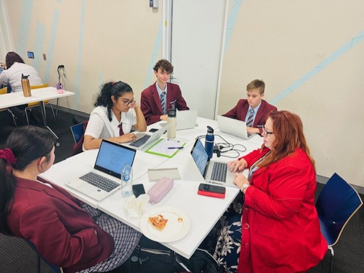
Ormiston College took out the 2025 SDG GIS Challenge award with their project, When Strangers Take Root: Invasive Species on Coochiemudlo Island. Led by educator Roslyn Minnikin, the project demonstrated how geospatial technology can strengthen environmental science education in schools.
Using ArcGIS Online, Survey123 and StoryMaps, students collected field data, mapped invasive plant species, analysed spatial patterns and developed evidence‑based recommendations to support biodiversity on Coochiemudlo Island, off the coast of Queensland.
Showing a strong understanding of location, scientific methodology and environmental impact, the project exemplified what students can achieve when STEM learning is grounded in real issues and supported by the right geospatial tools.
The SDG GIS Challenge highlighted the value of bringing GIS and spatial thinking into the classroom. Through working with real data, students developed the ability to interpret complex environmental issues, evaluate change over time and understand the relationship between people and place.
By collecting data, analysing patterns and communicating findings, participants built practical STEM skills aligned with emerging career pathways. GIS also supported systems thinking by helping students view environmental issues as interconnected rather than isolated.
Exposure to geospatial technology provided clearer pathways into fields such as environmental science, climate resilience and spatial analysis. Importantly, students also saw how their work could contribute to positive change in their own communities.
Each participating school brought creativity, curiosity, and rigour to the Challenge, reinforcing the value of GIS in education.
Congratulations to Ormiston College for a standout project that demonstrated how STEM and geospatial science enable students to tackle real world challenges.
When students map the world, they gain the skills to engage with it and help shape its future.