
Queensland’s critical minerals sector is entering a pivotal phase. With growing global demand for the minerals that support energy, defence, advanced manufacturing and digital infrastructure, the state has an opportunity to turn resource potential into long-term economic value. Realising that opportunity will depend on more than what is found in the ground; it will require faster project development, stronger regional infrastructure, clearer investment pathways, more efficient approvals and greater confidence across the full value chain.
The 2026/27 Queensland Budget reinforces this focus, with critical minerals positioned as a strategic priority for the state’s energy and resources sector. The Budget includes targeted investment to accelerate extraction, processing and export, support strategically important projects and strengthen value chains for critical minerals growth. For Queensland, the opportunity is not only to supply the minerals needed for the energy transition and advanced industries, but to build a more coordinated, resilient and globally competitive critical minerals sector.
Securing Queensland's mineral future
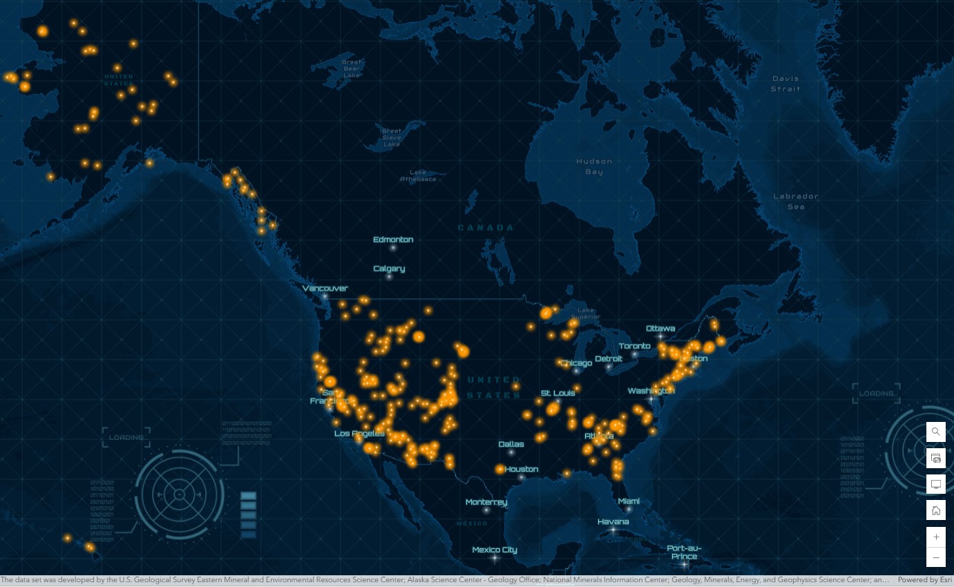
Critical minerals are essential to the technologies and infrastructure that modern economies rely on. Materials such as lithium, nickel, copper, cobalt and rare earth elements support everything from power grids and electric vehicles to semiconductors, defence systems and advanced electronics.
For Queensland, the opportunity is significant. The state can strengthen its role across the critical minerals value chain, from exploration and extraction through to processing, logistics, advanced manufacturing and export. But turning that opportunity into commercial and strategic advantage requires coordinated decision-making across government, industry, investors and regional communities.
The challenge is inherently complex. Exploration teams need to identify high-potential areas faster. Project proponents need to understand land access, environmental constraints, infrastructure requirements and community considerations earlier. Policy makers and investors need a clearer view of where supply-chain gaps, processing opportunities and enabling infrastructure exist.
This is where location intelligence becomes critical. By connecting geoscience, environmental data, infrastructure, logistics and stakeholder information into a single operational picture, GIS helps organisations make faster, better-informed decisions across the critical minerals lifecycle. Rather than treating maps as static outputs, GIS provides a decision-making framework for understanding where to explore, where to invest, how to prioritise infrastructure and how to operate responsibly.
Smarter exploration through GeoAI
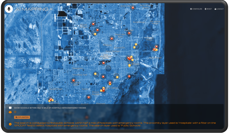
The path to mineral security begins with discovery. Traditional exploration relies on geophysical surveys, geochemical sampling and field observations, but integrating these datasets across vast regions can be slow and complex.
Modern spatial analysis brings these layers together so geoscientists can visualise, analyse and model mineral potential in context. Instead of assessing datasets in isolation, exploration teams can combine geological, geophysical, environmental and infrastructure information to better understand where resources may exist and how viable future development could be.
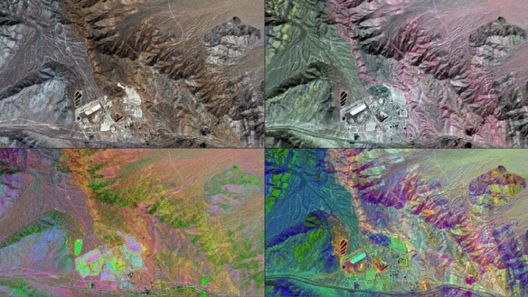
Advanced GIS and GeoAI workflows can help identify subtle geological patterns in remote sensing and geophysical data. These predictive models allow exploration teams to focus resources where they matter most, reducing cost, improving prioritisation and limiting unnecessary environmental disturbance.
Cloud-based sharing also helps keep exploration data, maps and models accessible across organisations. This supports more consistent collaboration between technical teams, decision-makers and external stakeholders involved in regional or state-wide exploration initiatives.
Permitting and transparency
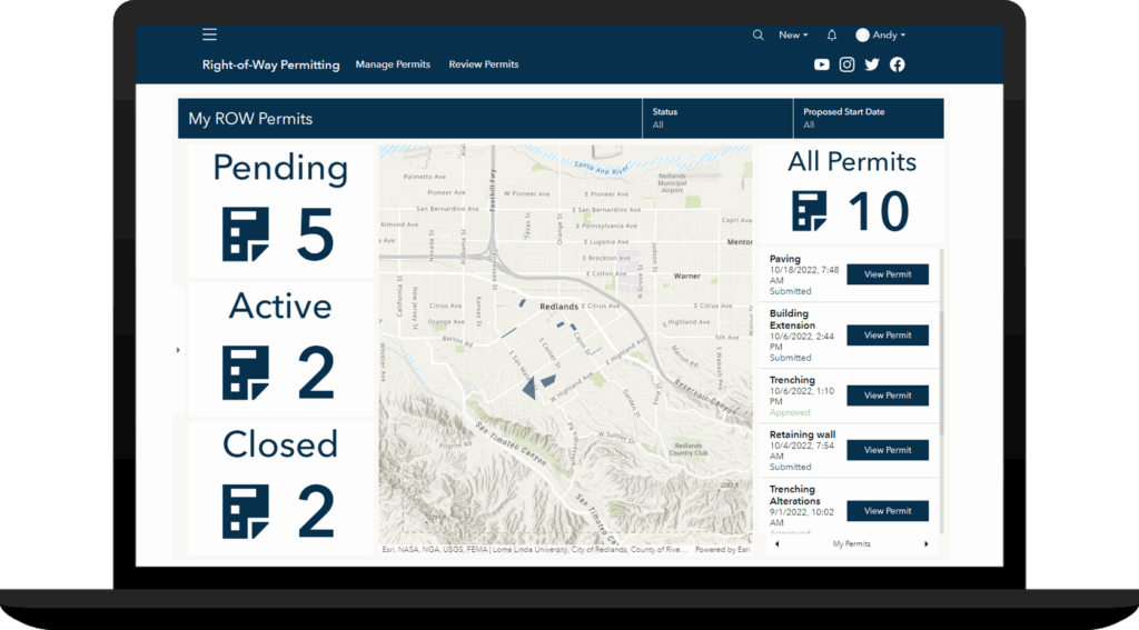
As projects advance from exploration to development, spatial insight becomes essential for responsible permitting and stakeholder communication. Regulators, communities and project partners need clear visibility into how proposed operations intersect with ecological, social and infrastructure considerations.
A map-based approach helps organisations assess project context earlier. Mine designs can be viewed alongside sensitive habitats, water resources, transport networks, land access requirements and community assets, giving teams a clearer understanding of potential impacts and constraints before they become costly issues.
This spatial view also strengthens communication. Interactive dashboards, web experiences and story-based formats can help project teams explain project intent, mitigation strategies and monitoring results in a way that is easier for stakeholders to understand.
By making complex project information more transparent, GIS can support more informed decision-making, improve collaboration between operators, regulators and communities, and help streamline the pathway from proposal to approval.
Mapping critical minerals supply chains
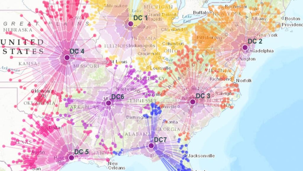
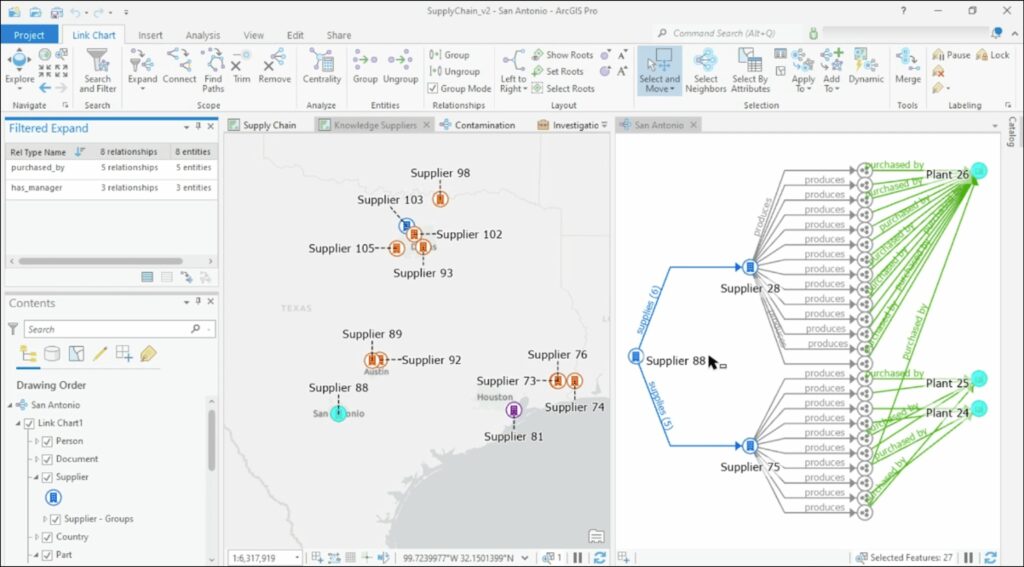
Critical minerals security depends on more than what comes out of the ground. Processing plants, refineries, transportation routes, ports, power infrastructure and manufacturing hubs form an interconnected network that underpins long-term resilience.
For organisations managing the exploration, transport or processing of critical minerals, location intelligence can help reveal where supply-chain opportunities and constraints exist. By integrating data from field operations, mobile teams, sensors and business systems, organisations can gain a clearer view of materials, assets and infrastructure across the value chain.
Spatial analysis can help policy makers, planners and industry leaders identify chokepoints and dependencies, including power availability, workforce distribution, transport access, water requirements and proximity to processing or export infrastructure.
Network analysis can also simulate supply routes, evaluate infrastructure capacity and assess risks from natural disasters, market disruption or geopolitical change. These insights can guide strategic investment in new processing capacity, enabling infrastructure and regional development.
As new mineral corridors, processing facilities and export pathways develop, GIS provides the analytical foundation for coordinating industry, infrastructure and policy priorities.
Monitoring, reclamation, and circular economy
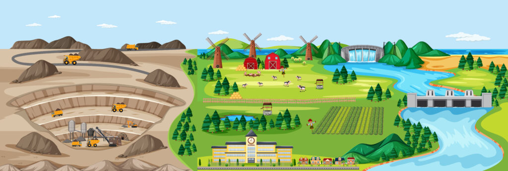
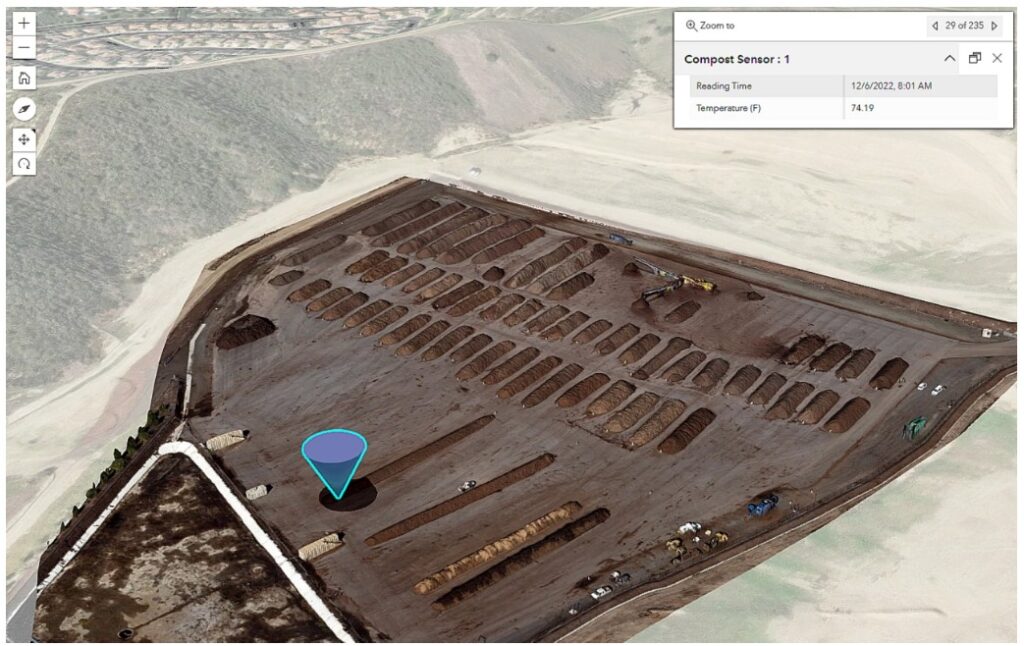
Every stage of mining generates data that can be used to improve efficiency, safety and sustainability. During operations, real-time spatial monitoring can connect IoT sensors, drone imagery and satellite feeds to track tailings facilities, haul roads, stockpiles, environmental indicators and operational risk.
When mines approach closure, field teams can use mobile mapping and survey tools to document reclamation progress with accurate location data. Managers can track performance through centralised dashboards, helping demonstrate environmental compliance and long-term accountability.
GIS also supports the growing circular economy by mapping opportunities to recover critical minerals from waste streams, legacy mine sites and industrial by-products. This spatial insight can help extend resource life, reduce import dependency and promote more responsible materials management.
For Queensland, this is particularly important as the state looks to maximise value from existing assets, assess opportunities in abandoned mine lands and support more sustainable resource development.
Accelerating the mission through collaboration
The scale of the critical minerals mission requires collaboration between government, research institutions, industry and regional communities. No single organisation has all the data, infrastructure or authority required to develop the sector in isolation.
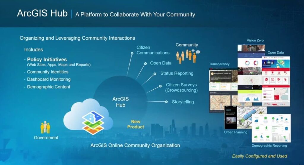
GIS provides a digital framework for connecting these stakeholders through shared spatial intelligence. Open data portals, secure enterprise platforms and interactive maps can help agencies and industry partners coordinate regional mineral assessments, infrastructure planning, investment attraction and stakeholder engagement.
Mining companies can also contribute anonymised exploration and operational data to shared initiatives, helping build a stronger collective understanding of Queensland’s resource potential.
By improving access to trusted location-based information, GIS can help stakeholders move from fragmented decision-making to a more coordinated approach across the critical minerals ecosystem.
A sustainable, data-driven future
Building a secure supply of critical minerals is not only a technical challenge, it is a spatial one. Every question of where to explore, where to build, how to connect infrastructure and how to operate responsibly is ultimately a question of geography.
For Queensland, location intelligence can help turn critical minerals ambition into practical action. It can support better exploration targeting, faster project assessment, clearer infrastructure planning, stronger supply-chain visibility and more transparent stakeholder engagement.
As Queensland advances its critical minerals ambitions, GIS can provide the spatial intelligence needed to connect exploration, approvals, infrastructure, processing, logistics and environmental management into one clearer operating picture. For Critical Minerals Queensland, location intelligence can help identify priority zones, assess infrastructure and supply-chain constraints, support stakeholder engagement, monitor environmental and community impacts, and guide investment decisions with greater confidence.
With GIS powered by ArcGIS, Queensland can plan, develop and manage its critical minerals future with the clarity needed to turn resource potential into long-term economic value.
Original author: Rebecca Kahrhoff
Adapted from: “Mapping the Future: How GIS Accelerates the Critical Minerals Mission”
Contact the team to learn how ArcGIS can support your critical minerals initiatives.