It’s a defining moment for Australia’s infrastructure sector. Climate volatility, population growth, ageing assets and delivery constraints are increasing pressure on organisations to plan, build, and operate networks that are resilient, efficient, and future-ready.
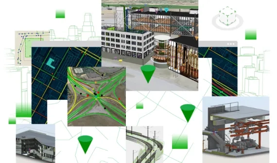
In response, three capabilities are converging to reshape how infrastructure is delivered and managed: digital twins, BIM-GIS integration, and geospatial AI. Together, they are enabling better decisions across the full asset lifecycle – from design through to long-term operations.
Why digital twins are gaining traction in Australia
The rise of Australian digital twin initiatives reflects a growing need for visibility across complex infrastructure systems. Modern digital twins go well beyond static 3D visualisations. They are living, spatially enabled representations of physical assets that integrate design data, operational systems, environmental information and increasingly, real-time feeds.
With Australia’s major public infrastructure pipeline valued at $242 billion across transport, buildings and utilities, infrastructure owners need tools that reduce risk and improve coordination. Digital twins support this by allowing organisations to simulate scenarios, test decisions, and understand impacts before acting on real world assets.
Digital twins help Australian organisations anticipate climate and operational risks, coordinate capital works and maintenance, improve safety outcomes, and strengthen service reliability. By turning fragmented information into a single operational view, they provide the foresight required to manage growing complexity.
BIM-GIS integration: The bridge from design to operations
Digital twins are only as effective as the data that underpins them. This makes BIM-GIS integration critical.
Building Information Modelling (BIM) supports detailed design and construction workflows, while Geographic Information Systems (GIS) provide enterprise-wide spatial context across entire networks. Historically, these environments have been disconnected, with valuable design information often lost as assets transition into operations.
BIM-GIS integration bridges this gap, ensuring continuity across the asset lifecycle. Through this integration, infrastructure owners can maintain design intent, preserve authoritative asset data and enable collaboration across planning, engineering, construction, and operations.
The strategic Autodesk-Esri partnership demonstrates this in practice, allowing high-fidelity BIM models to be placed into real-world geographic context using GIS. This transforms project-based design data into long-term operational intelligence, supporting more sustainable, resilient infrastructure outcomes.
The role of geospatial AI
As infrastructure data volumes grow, the challenge shifts from collection to insight. Geospatial AI plays a key role in unlocking value from complex, location-rich datasets.
By combining artificial intelligence and machine learning with spatial analytics, geospatial AI helps organisations identify patterns, predict risk and automate analysis at scale. When embedded within GIS and digital twin environments, it supports predictive maintenance, climate risk modelling, early detection of asset issues, and faster, more confident decision-making.
This shift from reactive response to predictive, intelligence-led operations is becoming essential as networks face increasing environmental and operational pressures.
Real-world examples across utilities and ports
Australian organisations are already demonstrating the value of combining digital twins, BIM-GIS integration and geospatial AI.
At Fremantle Ports, a sophisticated digital twin of the Fremantle Inner Harbour integrates 3D models, near real-time camera feeds and live vessel tracking. This provides stakeholders with a lifelike operational view, enabling scenario testing, impact assessment, and more informed decision-making.
In the utilities sector, Energy Queensland’s ‘Look Up and Live’ program uses GIS to improve public and worker safety by visualising power line locations and voltages through an interactive web map. The result has been a significant reduction in accidental powerline incidents, demonstrating how spatial intelligence delivers tangible outcomes.
Learn more about spatial intelligence
Digital twins, BIM-GIS integration, and geospatial AI deliver the greatest impact when implemented as part of a broader spatial intelligence strategy.
Explore our spatial intelligence page which brings together insights, resources, and real-world examples to show how location intelligence underpins future-ready infrastructure.