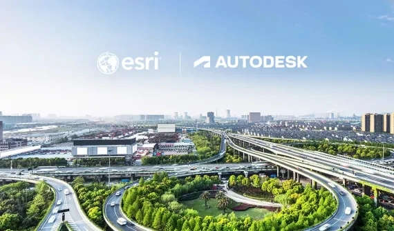
Building a more sustainable and resilient future with GIS and BIM
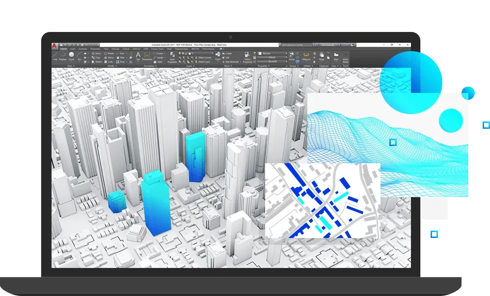
The Esri and Autodesk partnership connects location intelligence with design information, giving infrastructure teams a clearer view of the assets and systems they plan, build, and manage. By bringing GIS and BIM together, infrastructure owners, operators, government agencies, and AEC teams can improve collaboration, reduce silos, and make decisions with stronger context. The result is a more connected approach to complex infrastructure, with better foundations for resilient, future-ready networks.
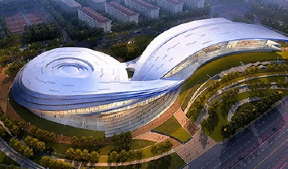
Esri Australia and Autodesk: How digital twins are transforming Cross River Rail
Cross River Rail is reshaping how people will move through Brisbane, with a new underground line designed to support the city’s growth and future major events.
Behind the scenes, Esri Australia and Autodesk technology is helping the project team bring spatial data, design information, and immersive visualisation into a shared digital twin.
Discover how this enhanced view of the project is supporting coordination, operational planning, and confident decision-making on one of Queensland’s largest infrastructure projects.
To find out more about the Esri and Autodesk partnership, call a product specialist on 1300 635 196 or complete this form and a member of our team will get in touch.
Our partnership work

FAQs
- What is the Esri and Autodesk alliance about?
The Esri and Autodesk partnership is an ongoing collaboration between two global technology leaders to connect GIS and BIM more effectively.
Since 2017, the partnership has focused on improving how spatial data from Esri systems and design information from Autodesk software can work together across shared project environments.
This collaboration has helped bring location, design, and asset information into closer alignment, allowing teams can work with more consistent project data and a clearer understanding of the world their infrastructure sits within.
- Who will benefit from this alliance?
The alliance is designed for infrastructure owners and operators, government agencies, and AEC teams responsible for planning, designing, delivering, and managing complex projects. This includes city, state, and regional government teams, executives, program leaders, digital engineering specialists, BIM teams, GIS teams, and the consultants who support major infrastructure delivery.
By helping these groups work from more connected project information, the alliance supports clearer coordination between the people who design infrastructure, the teams who deliver it, and the organisations responsible for its long-term operation.
- What is BIM?
BIM (Building Information Modeling) is an intelligent 3D model-based process that gives architecture, engineering, and construction (AEC) professionals the insight and tools to more efficiently plan, design, construct, and manage buildings and infrastructure.
Technology is transforming the way that buildings and infrastructure are designed, constructed, and operated. And it's helping to improve decision making and performance across the building and infrastructure lifecycle.
- What is GIS?
A geographic information system (GIS) is a system designed to capture, store, manipulate, analyse, manage, and present all types of geographical data. This data is typically associated with spatial characteristics; i.e., having some reference to specific location information.
In GIS, geospatial location data is usually coupled with attribute data – this provides users with information about "where" as well as "what" for a given geographical area. The combination of these data types makes GIS a highly effective planning and problem-solving tool, allowing users to use location as a key index in interactive queries to better understand relationships, patterns, and trends between places and things.
- Why connect GIS and BIM?
With the integration of GIS and BIM at the center of infrastructure projects – houses, schools, roads, inter-modal transit facilities, drainage and energy networks, etc. – are no longer planned, designed and built in isolation of everything around it. Infrastructure assets can be better viewed in relation to how that asset fits and interacts with the surrounding ecosystem. More tightly connected GIS and BIM workflows aid stakeholders involved in planning and design to better understand how the natural and existing built environment connects with the new assets to be built.
The promise of more tightly integrating GIS and BIM is to empower AEC firms and project owners to focus not only on what to design and build, but also better understand where and why, helping them to deliver more sustainable and resilient infrastructure through more economical, social, and environmentally responsible practices.
- Where can I find more information?
To find out more about the Esri and Autodesk partnership call a product specialist on 1300 635 196 or complete this form and a member of our team will get in touch.