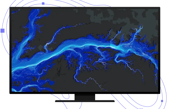
ArcGIS Image Dedicated brings raster analytics and streaming capabilities directly to imagery in your Amazon Web Services (AWS) or Microsoft Azure cloud environment to reduce egress costs and enable scalability.
What can you do with ArcGIS Image Dedicated?


ArcGIS Image Dedicated is ideal for organisations that have imagery in cloud storage, are mandated to keep their imagery in specific regions, or need to process imagery close to existing storage to reduce egress costs and enable scalability.
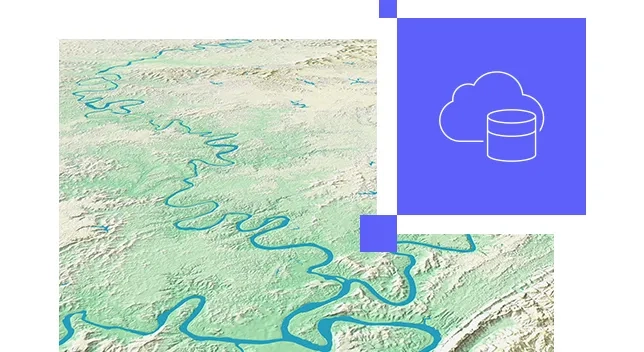
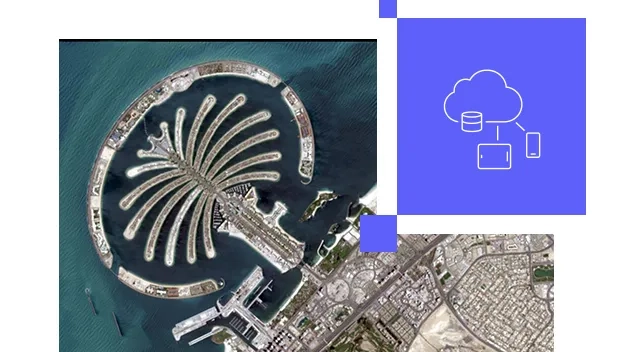
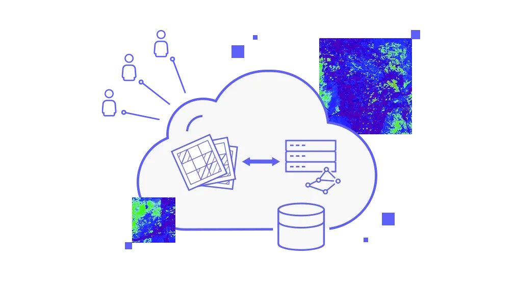
Eliminate the time it takes to build, set up, and manage infrastructure for ArcGIS users. From your cloud storage, transform large imagery collections into tiled and dynamic image services accessible to users from ArcGIS desktop, web, and mobile applications.
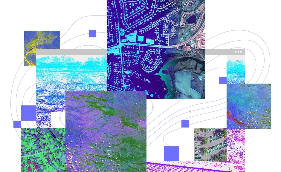
Stream intelligent tiled services that provide performance, and retain pixel information so users can perform analysis, set renderings, and enhance imagery by changing band combinations. Serve dynamic image services that provide server-side mosaicking and processing for rich analysis capabilities and performance over low-bandwidth networks.
How it works
Need ArcGIS Pro?
To use author image services, you must have an ArcGIS Pro licence. Compatible licences include GIS Professional user types (Basic, Standard, or Advanced) and ArcGIS Desktop (named user, single use, or concurrent use) containing ArcGIS Pro 2.1 or higher.