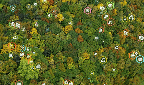
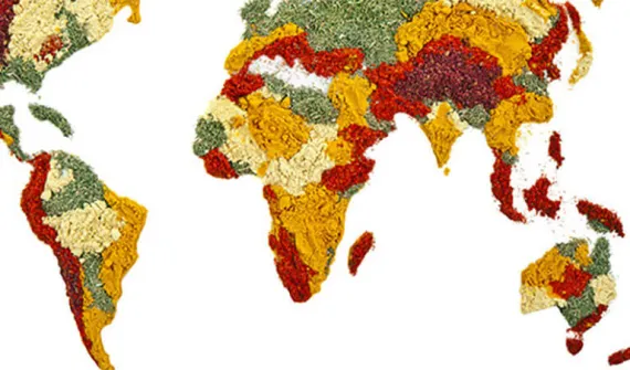
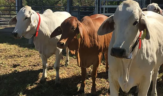
You are here News & Events Blogs Esri Australia blog Esri Australia blog AllEsri techData-driven decisionsDigital transformationDisruptive innovationGIS in Education GIS in Education GIS in Environmental Education Implementing GIS in Environmental Science education allows the next generation of students to prepare for future environmental challenges. Using GIS, students can advance their conservation efforts, maintain ecosystems, and sustain biodiversity. See how GIS in Environmental Science can be implemented in your classroom. Learn more Data-driven decisions Where Australia imports its food from: world map Next time you look at your plate, you might ask "where does my food come from?" Thanks to location-based analytics, you can search this world map to find out where Australia imports food from. Learn more Data-driven decisions Students use GIS to track cattle movements A new program has launched in Australia where students use GIS technology to track herd movement and work with emerging agri-tech to bridge the digital divide. Learn more
GIS in Education GIS in Environmental Education Implementing GIS in Environmental Science education allows the next generation of students to prepare for future environmental challenges. Using GIS, students can advance their conservation efforts, maintain ecosystems, and sustain biodiversity. See how GIS in Environmental Science can be implemented in your classroom. Learn more
Data-driven decisions Where Australia imports its food from: world map Next time you look at your plate, you might ask "where does my food come from?" Thanks to location-based analytics, you can search this world map to find out where Australia imports food from. Learn more
Data-driven decisions Students use GIS to track cattle movements A new program has launched in Australia where students use GIS technology to track herd movement and work with emerging agri-tech to bridge the digital divide. Learn more