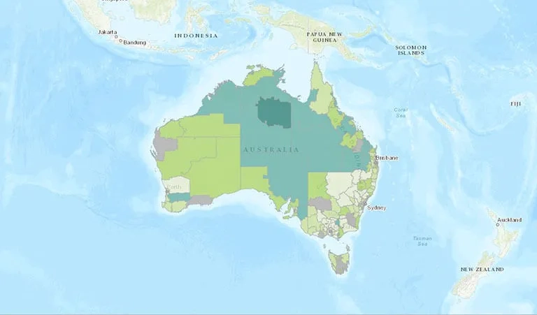
You are here News & Events News News Search news Search by year All2026202520242023202220212020201920182017201620152014201320122011 Tags - Any -#Cross River Rail3DAbout GISABSAECAFAC22AgileAgribusinessAgricultureAnalyticsApplication developmentAppsAppStudioArcGISArcGIS 10.5ArcGIS 10.6ArcGIS dashboardsArcGIS EnterpriseArcGIS Enterprise upgradeArcGIS HubArcGIS IndoorsArcGIS OnlineArcGIS ProArtificial intelligenceAsset managementAugmented realityAustralian Bureau of StatisticsAustralian bushfireAustralian GIS Hall of FameAutodeskBankingBIBig DataBig Data AnalyticsBIMBorder PatrolBrian BoulmayBusinessBusiness IntelligenceCadastreCalifornia CoastlineCitizen engagementClimate ChangeCloudCloud computingCloud GIScollaborationCollectorCommercialCommercial propertyCommunityConstructionContentCoronavirusCouncilCOVID-19COVID-19 vaccineCrisisCrowdsourcingDataData analyticsData transformationData visualisationData-driven decisionsDBYDDeep learningDefence and intelligenceDekhoDepartment of DefenceDesignDial Before you DigDigital transformationDigital twinDisability Servicesdisaster management Disaster resilienceDisruptive appsDNRMEdrone mapping DronesEarth observationsEducationeLearningElectionElectorateElectricElectricityEmergency managementEmergency responseEmergency servicesEnergyEnergy QueenslandEnergy, oil, gas and renewablesEngineeringEnterprise advantage programEnterprise GISENVIEnvironmental managementEnvironmental scienceEsriEsri AustraliaEsri Petroleum ConferenceEsri UCEsri Utility Network ModelEsri Young Scholar AwardEsri Young Scholars AwardEventsFederal governmentField data collectionFinancial institutionsFinancial servicesflood Food securityForestryForresterGasGDA2020GDA94Geo hubGeoAIGeoAnalyticsGeographic datumGeographic Information SystemsGeoscience AustraliaGeospatial AnalyticsGeospatial excellence awardGISGIS DayGIS for schoolsGIS Hall of Fame AwardsGIS managerGIS server softwareGIS ServicesGIS technologyGIS TrainingGIS web servicesGovernmentHealthHealth and human servicesHigher educationHomeland SecurityIcon WaterIDLImageryImpact AwardsIndoor navigationInfrastructureInnovationInsights for ArcGISInsuranceInsurance and BankingInteractive mapsInternet of ThingsInternshipInteroperabilityIoTJack DangermondJavaScriptLand AdministrationLand managementLaura DangermondLaw enforcementLive dataLive sensorsLocal governmentLocate22Location intelligenceLocation-based analyticsLogisticsMachine learningManaged servicesMapping and chartingMapsMarine scienceMaritimeMediaMicrosoft AzureMiningMining explorationMobileMobile applicationsMobile GISNational developmentNational SecurityNot for profitOH&SOilOpen dataOpen platformOperational awarenessOz MineralsOzriPartnershipPetroleumPlanningPlantationPortsPredictive analysisProductsPublic safetyPublic sectorPublic worksQueensland GlobeRaster dataReal-time analyticsRecoveryRemote sensingResilient communitiesResourcesRetailROISaaSSafe communitiesSAG AwardsSAPSAR ImagerySARscapeSatellite imagerySensorsServices overviewSituational awarenessSmart citiesSmart communitiessmart governmentSmart transportSmarterWXSolar eclipseSpatial data infrastructure solutionsSpeculative designStartupsState governmentStateStatStory mapsSupply chain managementSurvey123SustainabilitySustainable developmenttechnical debtTelcoTelecommunicationsTrainingTransformationTransportTransport analyticsTransport and InfrastructureTransportationTrimbleUIUnearthed ChallengeUnited NationsUniversitiesUnmanned Aerial VehiclesUrban analyticsUrban planningUser experienceUser interfaceUser researchUtilitiesUtility networkUXUXGVaccine distributionvegetation managementVirtual realityWaterWaterfallWeb GISWGS84White paperWHO AIHW wins global tech award for mapping vital mental health data Learn more SA interactive map shares groundwater contamination data Learn more ACT Government awarded global tech achievement The ACT Government has been recognised globally for their innovative use of GIS technology to transform their building and reporting standards. Learn more ANU student recognised on world-stage for perinatal healthcare research The Esri Young Scholar Award for 2020 has been awarded to Cynthia Parayiwa, an ANU student who used GIS technology to determine the impacts that location has on women's prenatal health. Learn more Esri named a leader in location intelligence platforms report The Forrester Wave highlights the company's long-term commitment to the development of a shared global geospatial infrastructure. Learn more News Modernising GIS for a fully connected network Icon Water's transformation to modern, sophisticated GIS-tech has placed them as a finalist in the 2019 Digital Utility Awards. Learn more News Cold case king advises Australian law enforcers An ex-criminal profiler who used cutting-edge mapping technology to help catch a notorious US serial killer has been invited to advise Australian law enforcers on how the technology could breathe new life into thousands of the nation's unsolved crimes. Learn more
ACT Government awarded global tech achievement The ACT Government has been recognised globally for their innovative use of GIS technology to transform their building and reporting standards. Learn more
ANU student recognised on world-stage for perinatal healthcare research The Esri Young Scholar Award for 2020 has been awarded to Cynthia Parayiwa, an ANU student who used GIS technology to determine the impacts that location has on women's prenatal health. Learn more
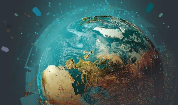
Esri named a leader in location intelligence platforms report The Forrester Wave highlights the company's long-term commitment to the development of a shared global geospatial infrastructure. Learn more
News Modernising GIS for a fully connected network Icon Water's transformation to modern, sophisticated GIS-tech has placed them as a finalist in the 2019 Digital Utility Awards. Learn more
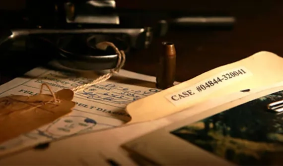
News Cold case king advises Australian law enforcers An ex-criminal profiler who used cutting-edge mapping technology to help catch a notorious US serial killer has been invited to advise Australian law enforcers on how the technology could breathe new life into thousands of the nation's unsolved crimes. Learn more