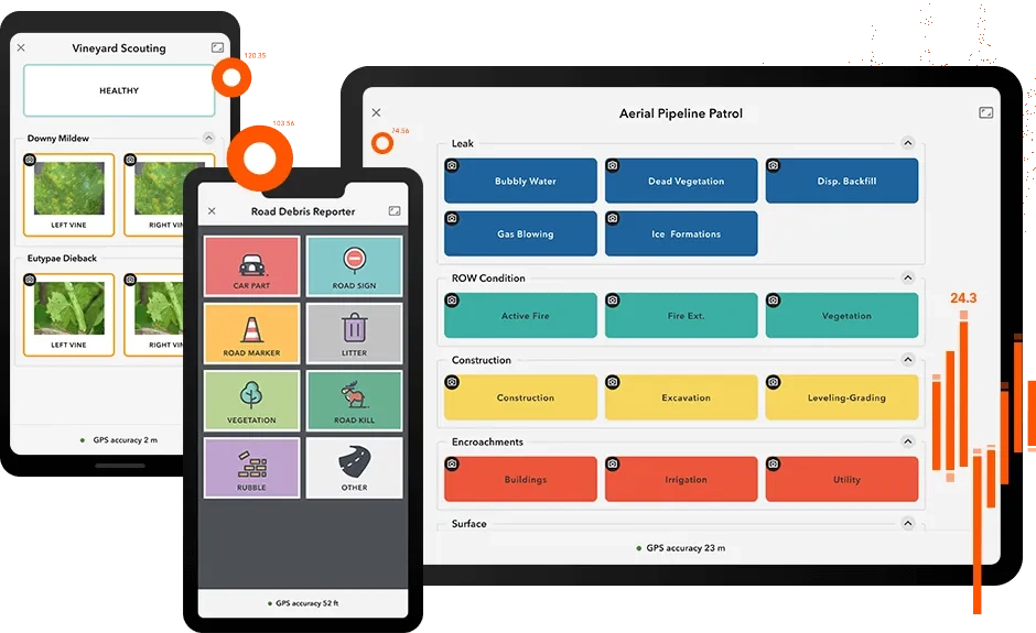
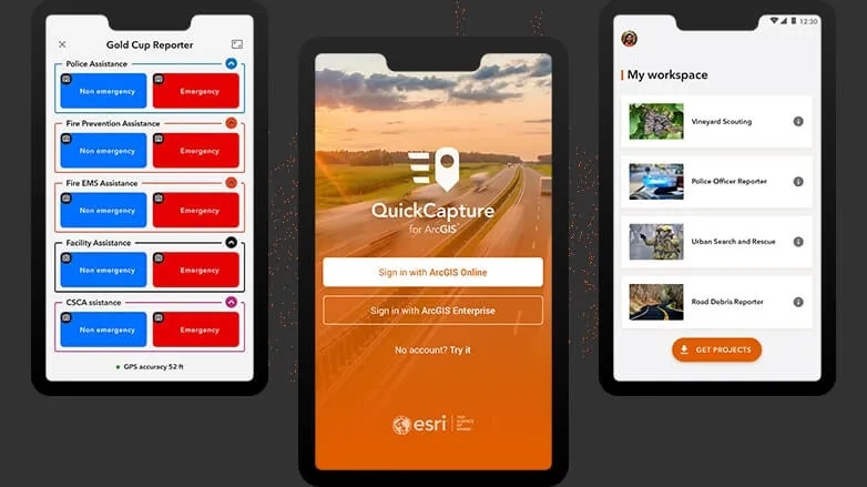
With this simple app, you can quickly record field observations from a moving vehicle while you scout locations, conduct aerial surveys, or assess damage. Send data back to the office for analysis in real time and eliminate time spent manually processing handwritten notes. ArcGIS QuickCapture is integrated with ArcGIS, so new data from the field can be used instantly for better decision-making.

Capture data with touch of a button

arcgis-quickcapture

Ready to learn more? Contact us to speak to a product specialist. 

Record field observations on your mobile device from a moving vehicle

ArcGIS QuickCapture was created specifically for field teams that need to collect data from a moving truck, helicopter, or off-road vehicle. Use for aerial surveys, monitoring vegetation encroachment, asset inventories, road inspections, windshield surveys and more.

Perform fieldwork faster and more efficiently than ever

Increase productivity with a simple app that digitises and streamlines your workflow. The minimalistic user interface in ArcGIS QuickCapture allows you to conduct inspections by capturing locations, field conditions, and even photos quickly, without interrupting the task at hand.

Get better results with accurate, real-time data from the field

Access data immediately in ArcGIS and push project updates out while teams are still in the field. Eliminate time spent manually processing field data and reduce human error from inaccurate transcription. Improve GIS analysis by obtaining data you simply couldn't get before.

Effortless to use and easy to configure

Implement immediately and start seeing results, right out of the box. Use the ArcGIS QuickCapture designer on your desktop to author your projects for field data collection. The ArcGIS QuickCapture mobile app is intuitive for field teams to use with no training needed.

Download the app

Works on Android, iOS, and Windows mobile devices. ArcGIS QuickCapture leverages the built-in GPS and camera on your smartphone or tablet.

arcgis_quickcapture

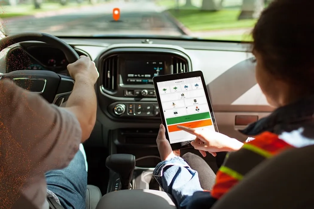
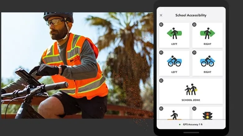
Collect data while in a moving vehicle

Open the app and tap a button to use ArcGIS QuickCapture. No time is spent writing notes or finding GPS coordinates—the app knows where users are.

arcgis_quickcapture

Analyse data

ArcGIS QuickCapture is integrated with your existing IT infrastructure and the ArcGIS platform, so data transmits from the field instantly.

arcgis_quickcapture

Boost productivity, implement quickly

arcgis_quickcapture

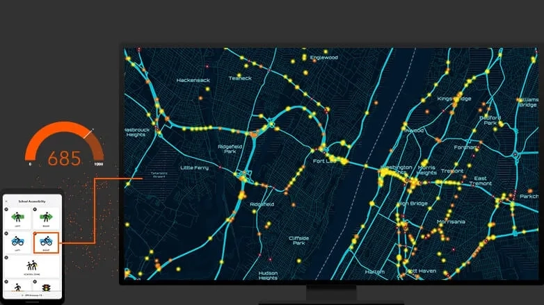
Gain insight into field activity

Use ArcGIS QuickCapture data for analysis in ArcGIS immediately - to better understand what's going on in the field. See why projects may be falling behind - before deadlines are missed.

arcgis_quickcapture

Simplify your buying decisions

Build on your existing GIS system. ArcGIS QuickCapture integrates with your existing IT infrastructure and the ArcGIS platform, so implementation is a breeze.

Subscribe to
Esri Australia news