You are here News & Events Blogs Esri Australia blog Esri Australia blog AllEsri techData-driven decisionsDigital transformationDisruptive innovationGIS in Education Digital transformation Field operations just got smarter Introducing the revolutionary smart technology propelling small-cap miners to new heights and enabling a digitally transformation and optimisation of operations. Learn more Digital transformation How small councils achieve great things with GIS Small LGAs face challenges that their larger, usually urban counterparts do not. Yet, many are achieving outstanding results with their GIS capability through intelligent application of modern web GIS. Learn more Digital transformation Top 5 mining geospatial tech trends A new wave of automation is improving worker safety, raising productivity, and reducing operational costs in Australia's mining operations. See how advanced geospatial technology is helping organisations improve efficiencies at all levels organisation-wide. Learn more Data-driven decisions Cleaning the Gulf of Mexico using GIS The clean-up efforts following the Deepwater Horizon oil spill is an example of how GIS technology can be used to assist in disaster response. Learn more Data-driven decisions Improving public safety with GIS-enabled emergency response GIS technology is providing predictive capabilities for handling natural disaster response and recovery. Learn how the Queensland Fire and Emergency Service uses GIS to improve its coordination of emergency response across the state. Learn more
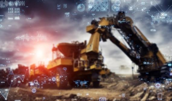
Digital transformation Field operations just got smarter Introducing the revolutionary smart technology propelling small-cap miners to new heights and enabling a digitally transformation and optimisation of operations. Learn more
Digital transformation How small councils achieve great things with GIS Small LGAs face challenges that their larger, usually urban counterparts do not. Yet, many are achieving outstanding results with their GIS capability through intelligent application of modern web GIS. Learn more
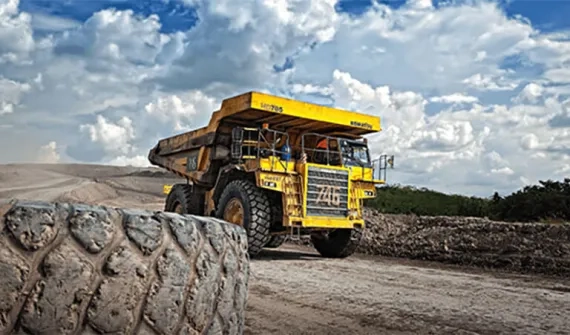
Digital transformation Top 5 mining geospatial tech trends A new wave of automation is improving worker safety, raising productivity, and reducing operational costs in Australia's mining operations. See how advanced geospatial technology is helping organisations improve efficiencies at all levels organisation-wide. Learn more
Data-driven decisions Cleaning the Gulf of Mexico using GIS The clean-up efforts following the Deepwater Horizon oil spill is an example of how GIS technology can be used to assist in disaster response. Learn more
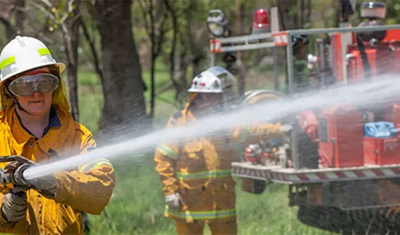
Data-driven decisions Improving public safety with GIS-enabled emergency response GIS technology is providing predictive capabilities for handling natural disaster response and recovery. Learn how the Queensland Fire and Emergency Service uses GIS to improve its coordination of emergency response across the state. Learn more