You are here Home The best of GeoSync 2024 Catch up on our GeoSync 2024 presentations Whether revisiting your favourites or discovering new insights, we've got it all covered. Video Charting the way forward How big could GIS be in Australia? Esri Australia CEO Brett Bundock offers a fresh perspective on GIS trends and the future of spatial data, blending industry insights with commercial acumen. Watch Video Transforming disaster response with imagery In a crisis, access to reliable information is crucial. ICEYE, the world's largest Synthetic Aperture Radar (SAR) constellation uses ArcGIS to provide critical, high-quality data when needed most. More Video APA's game-changing approach to imagery Discover how APA transforms pipeline management with advanced imagery for the safety, integrity, and regulatory compliance of critical assets. Watch Video Paving the way to safer roads in NSW with AI What's new on NSW roads? Find out how ten councils use AI and real-time data to boost road safety and drive smarter maintenance planning. Watch Video Informed planning with the power of spatial Learn how Victoria’s Department of Planning uses spatial tools for analysis, cartography, web mapping, and 3D visualisations to enhance decision making. Watch Video Recycle it Saturday and other Survey 123 adventures Watch Matt Sund, from the City of Sydney, reveals how they integrated multiple ArcGIS use cases for greener and smarter services. Watch Video Innovative GIS in construction Sydney Metro West’s bespoke Defects Management System (DMS) is transforming defect tracking. See how its reliability, error checking, and reporting shape construction management. Watch Video Pioneering GIS innovations From hazard modelling to climate change and sustainability, the power of ArcGIS is driving impactful change for risk management and a better world. Watch Video Visualise a digital world Take a tour of ArcGIS Reality Engine and discover how satellite and drone imagery create digital twins with real-world use cases. Watch Presentation Maximise data insights with geospatial analysis & GeoAI Explore the full potential of ArcGIS, GeoAI, and Python to maximise geospatial analysis, integrate workflows, and automate data processing for better insights. More Video Plan, build and operate networks of the future Future-proof your GIS projects. Elleni unveils strategies for building robust networks and leading projects to success. Watch Video Introducing the spatially-enabled Intelligent Twin Dive into next-gen digital 'intelligent' twins and see how past, present, and future data transform asset management, operations, and environments. Watch Video Databricks and ArcGIS: Breaking down big data Watch the duo demonstrate how the Spark-native library enhances geospatial analytics, uncovering patterns and insights. Watch Video Enterprise GIS for utilities How best to manage utilities networks? Sean reveals how ArcGIS Enterprise optimises assets and service, while ensuring regulatory compliance. Watch Presentation Powering mobility from field to facility Discover how ArcGIS field apps are transforming field data capture and facility management. Watch Ellen and Seth showcase key features and demonstrate efficiency. More Ready to explore your next GIS project? Contact us to speak to a geospatial expert
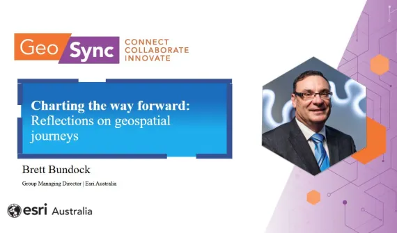
Video Charting the way forward How big could GIS be in Australia? Esri Australia CEO Brett Bundock offers a fresh perspective on GIS trends and the future of spatial data, blending industry insights with commercial acumen. Watch
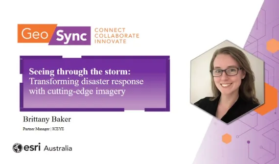
Video Transforming disaster response with imagery In a crisis, access to reliable information is crucial. ICEYE, the world's largest Synthetic Aperture Radar (SAR) constellation uses ArcGIS to provide critical, high-quality data when needed most. More
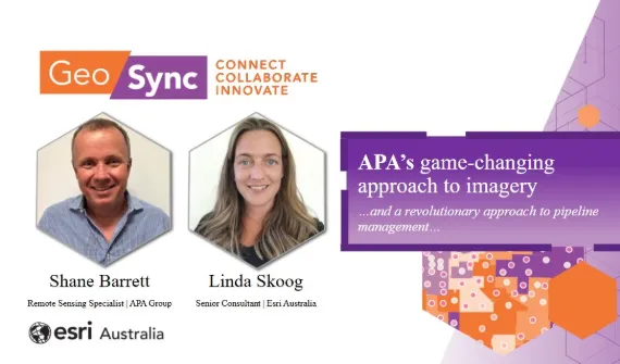
Video APA's game-changing approach to imagery Discover how APA transforms pipeline management with advanced imagery for the safety, integrity, and regulatory compliance of critical assets. Watch
Video Paving the way to safer roads in NSW with AI What's new on NSW roads? Find out how ten councils use AI and real-time data to boost road safety and drive smarter maintenance planning. Watch
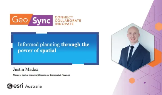
Video Informed planning with the power of spatial Learn how Victoria’s Department of Planning uses spatial tools for analysis, cartography, web mapping, and 3D visualisations to enhance decision making. Watch
Video Recycle it Saturday and other Survey 123 adventures Watch Matt Sund, from the City of Sydney, reveals how they integrated multiple ArcGIS use cases for greener and smarter services. Watch
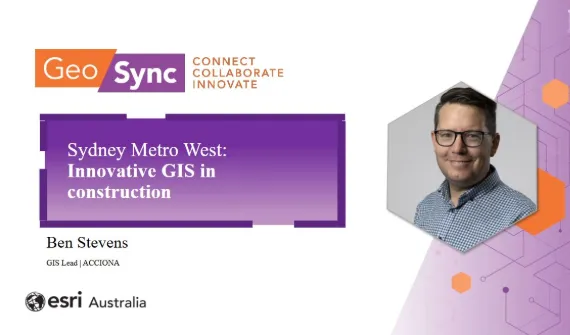
Video Innovative GIS in construction Sydney Metro West’s bespoke Defects Management System (DMS) is transforming defect tracking. See how its reliability, error checking, and reporting shape construction management. Watch
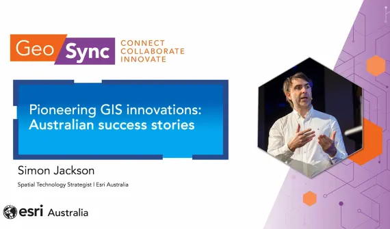
Video Pioneering GIS innovations From hazard modelling to climate change and sustainability, the power of ArcGIS is driving impactful change for risk management and a better world. Watch
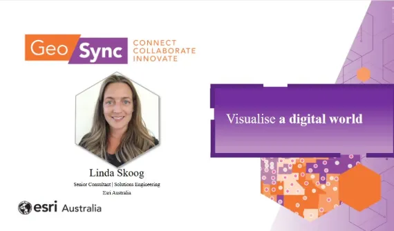
Video Visualise a digital world Take a tour of ArcGIS Reality Engine and discover how satellite and drone imagery create digital twins with real-world use cases. Watch
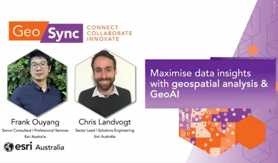
Presentation Maximise data insights with geospatial analysis & GeoAI Explore the full potential of ArcGIS, GeoAI, and Python to maximise geospatial analysis, integrate workflows, and automate data processing for better insights. More
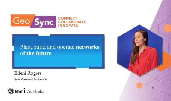
Video Plan, build and operate networks of the future Future-proof your GIS projects. Elleni unveils strategies for building robust networks and leading projects to success. Watch
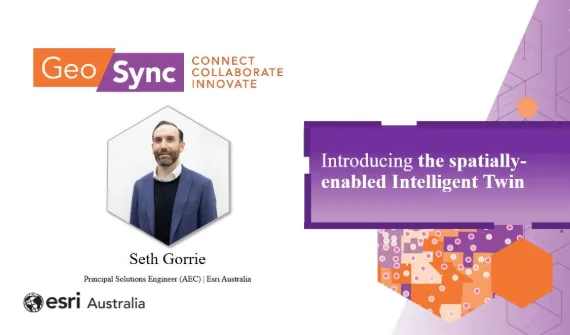
Video Introducing the spatially-enabled Intelligent Twin Dive into next-gen digital 'intelligent' twins and see how past, present, and future data transform asset management, operations, and environments. Watch
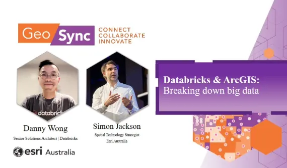
Video Databricks and ArcGIS: Breaking down big data Watch the duo demonstrate how the Spark-native library enhances geospatial analytics, uncovering patterns and insights. Watch
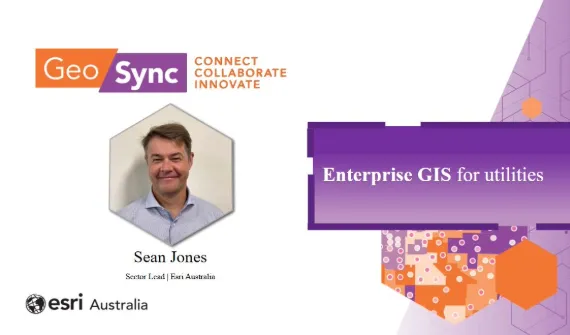
Video Enterprise GIS for utilities How best to manage utilities networks? Sean reveals how ArcGIS Enterprise optimises assets and service, while ensuring regulatory compliance. Watch
Presentation Powering mobility from field to facility Discover how ArcGIS field apps are transforming field data capture and facility management. Watch Ellen and Seth showcase key features and demonstrate efficiency. More