ICEYE and Esri Australia partner to help organisations respond faster to floods and bushfires with real-time hazard intelligence integrated into ArcGIS.
What we do together
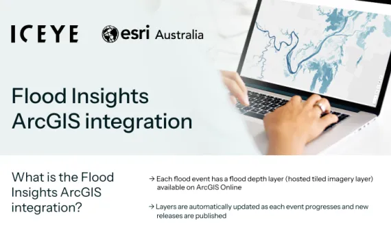
ICEYE’s satellite-powered insights through Flood Rapid Intelligence, Flood Insights, and Bushfire Insights, are delivered as ready-to-use ArcGIS layers, giving you instant access to critical data. This helps you act fast and with confidence when it matters most.
Available solutions
Flood Rapid Intelligence
Fast flood insights using SAR imagery to support early response efforts
Learn more
Benefits for you
|
Protect assets and communities with real-time insights |
Make faster, informed decisions during disasters |
Access hazard data seamlessly in your existing ArcGIS workflows |